Massive Earthquake Strikes Panama — USGS Downgrades Initial 8.0 Report to 7.7 as Tsunami Threat Is Issued
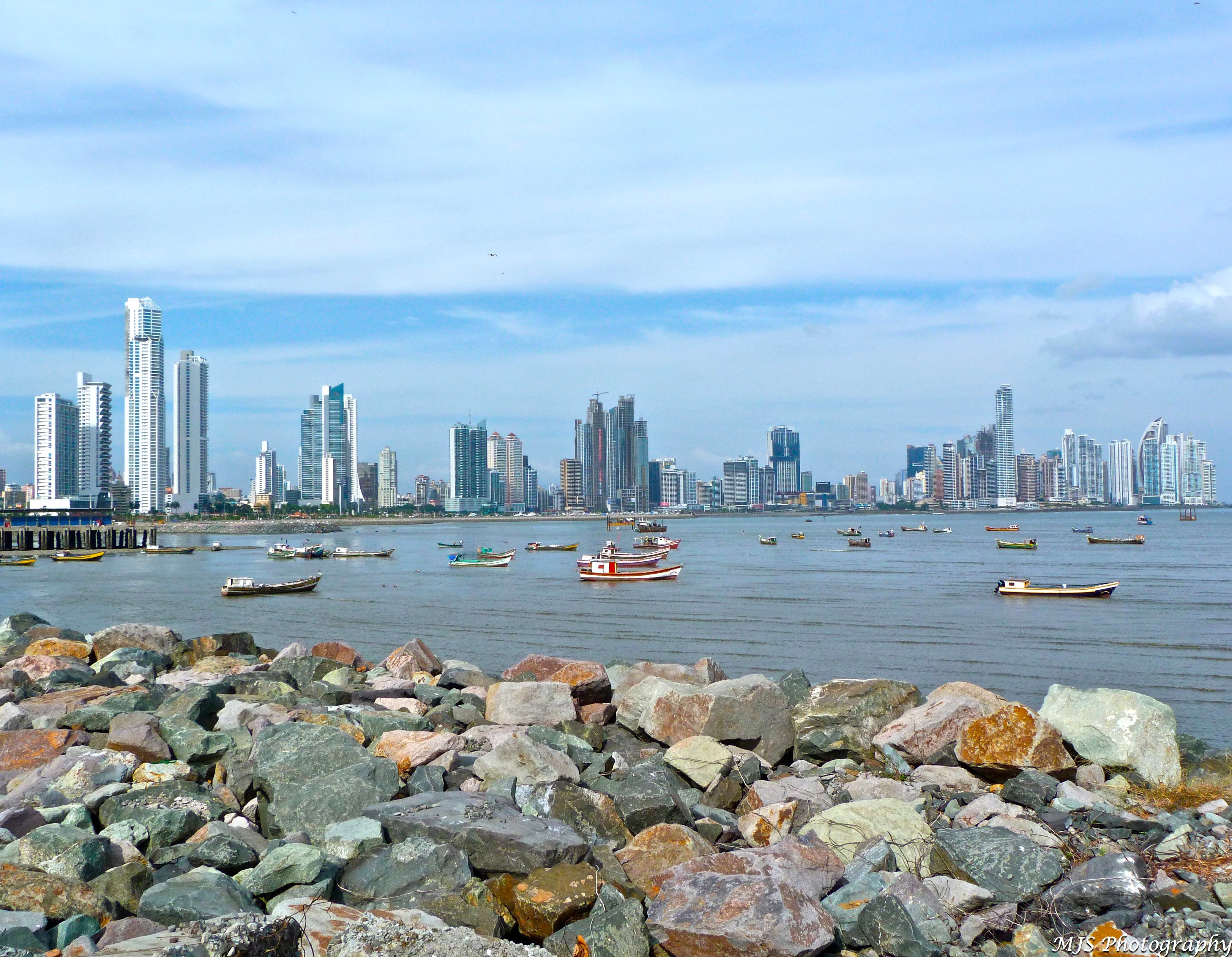
Panama earthquake: A massive earthquake struck off the southern coast of Panama on Friday, shaking buildings in Panama City and prompting a tsunami threat for a wide stretch of the Pacific coastline. The U.S. Geological Survey first reported the quake at magnitude 8.0, then revised it to 7.7 after further analysis — a major, destructive-class event by any measure, striking at 12:56 p.m. Panama time (17:56 UTC) with its epicenter near the town of Pitaloza Arriba at a depth of 12.6 kilometers. Shallow quakes of this size are the ones that do the most damage — and generate the most dangerous tsunamis.
Reuters witnesses reported the shaking was felt strongly in the Panamanian capital, Panama City, sending hundreds of residents into the streets; it was also felt in Costa Rica. President José Raúl Mulino called for calm and instructed the government to provide information on the quake's effects. Local media reported structural damage in some parts of the country, and the USGS estimated that some casualties are possible and extensive damage is probable. The quake registered maximum intensity VIII (severe), making it the third-strongest earthquake of 2026.
Tsunami threat issued
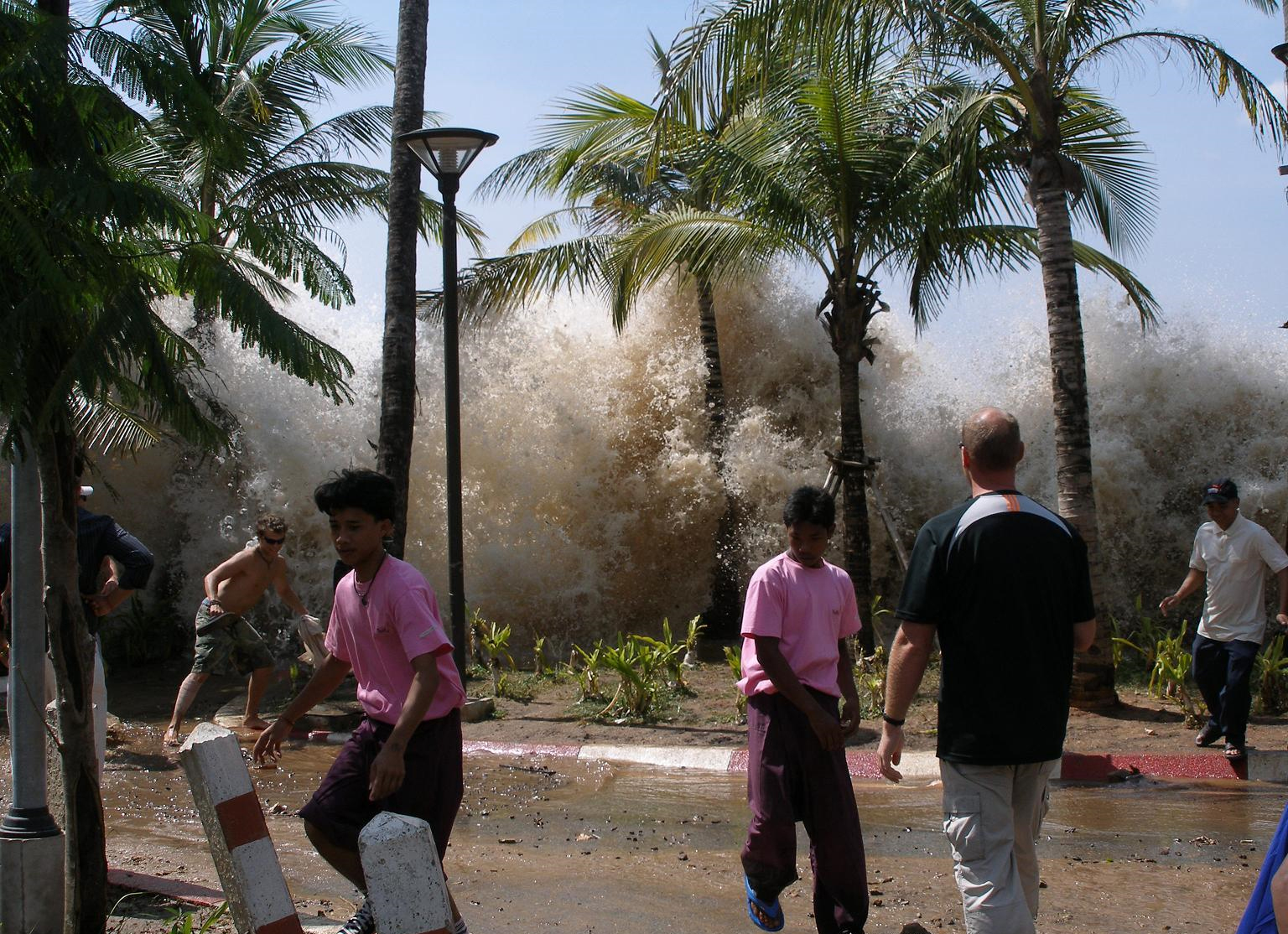
At 18:02 UTC, minutes after the quake, the U.S. National Weather Service issued a tsunami threat covering Colombia, Ecuador, Nicaragua, Panama, and Guatemala, with the U.S. Tsunami Warning System showing potential tsunami threats also across Costa Rica, El Salvador, Peru, Mexico, Honduras, and beyond. Tsunami waves of 1 to 3 meters are possible along some coasts of Panama, up to 3 feet in Ecuador, and less than a foot elsewhere; there is no tsunami threat for the U.S. Tsunami threats after shallow subduction-zone earthquakes are standard procedure — the 12.6 km depth is exactly the profile that displaces the seafloor and sends water racing outward. Coastal residents in the threat zone were urged to move to higher ground and follow local emergency instructions.
The threat's breadth — spanning multiple countries — reflects how much energy a magnitude 7.7 releases: roughly 250 times the energy of a 5.7 and thousands of times a 4.7. Even at hundreds of kilometers from the epicenter, coastlines can see dangerous wave activity.
Why the magnitude changed
Readers who saw "8.0" in the first alerts and "7.7" later witnessed normal seismology, not an error. Initial magnitudes are computed automatically within minutes from the first seismic waves to reach monitoring stations; seismologists then refine the number as more data arrives from stations around the world. The revision from 8.0 to 7.7 moves the quake down one classification band — but a 7.7 at shallow depth remains a major, destructive-class earthquake, fully capable of leveling poorly built structures near the epicenter and generating a tsunami. The third-strongest earthquake of 2026, it ranks behind only two magnitude 7.8 quakes — one in the Philippines on June 7 and one in Indonesia on August 14.
Panama's seismic reality
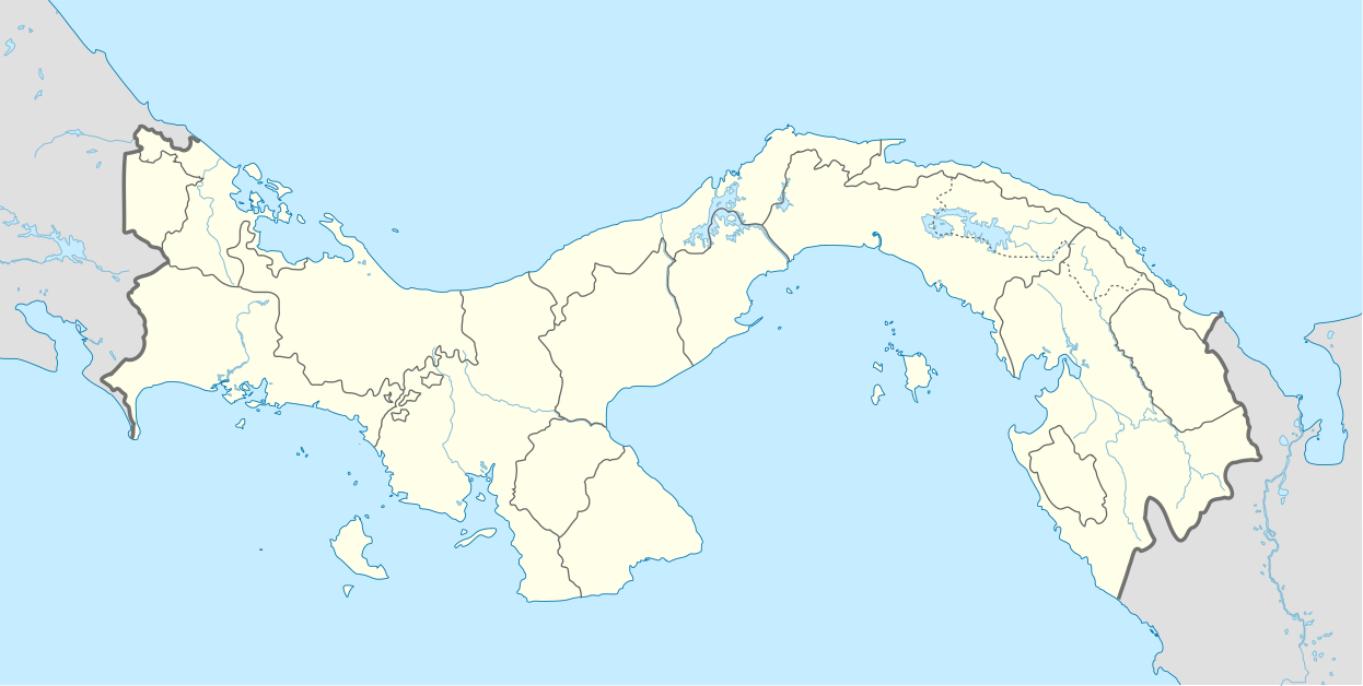
Panama sits at the complicated junction of tectonic plates, where the Cocos and Nazca plates grind beneath the Caribbean plate along the Middle America Trench off its Pacific coast. The country does not experience giant quakes as often as Chile or Japan, which can make each one more dangerous: building codes and public preparedness in less-frequently-shaken regions tend to lag behind the actual hazard. The southern coastal provinces — Herrera, Los Santos, Veraguas — sit closest to the subduction zone and face the highest risk.
Today's epicenter near Pitaloza Arriba puts it squarely in that high-hazard corridor. The 12.6 km depth compounds the danger: the shallower the rupture, the more violently the ground above it shakes and the more efficiently it shoves the ocean.
Why this matters
Beyond the immediate human toll still being assessed, this earthquake is a stress test for Central American disaster response. Panama's economy depends on the Panama Canal, Pacific ports, and a capital city of over a million people — all exposed if aftershocks or tsunami waves damage infrastructure. The good news so far: the Panama Canal Authority reported the waterway is operating normally. But a major port closure or canal disruption, even brief, would ripple through global shipping schedules within days.
It is also a reminder of a blind spot in global disaster attention. Earthquakes in less-covered regions routinely receive a fraction of the response machinery that mobilizes for comparable events in wealthier countries — fewer search-and-rescue teams on standby, thinner insurance coverage, slower damage mapping. The first 72 hours will show which of those gaps Panama has closed.
What happens next
Watch the aftershocks. A 7.7 mainshock is typically followed by a cascade of aftershocks, some themselves large enough to damage weakened buildings. The USGS already reported a magnitude 5.8 aftershock near Cacao, Panama, shortly after the main quake; seismologists will watch for anything above magnitude 6 in the coming days.
Watch the tsunami threat. Threats are updated or canceled as sea-level gauges and deep-ocean buoys report actual wave measurements. The all-clear — or confirmation of waves — will come from tsunami.gov and Panama's emergency management agency, not from social media.
Watch the damage toll. The epicenter region is less densely populated than the capital, which may limit casualties — but rural damage is also slower to report. Expect the casualty and damage figures to rise as assessment teams reach the coastal towns nearest the rupture.
Watch the canal. Any operational impact on the Panama Canal or the Pacific port terminals would turn a natural disaster into an economic event. The canal authority's statements in the next 24 hours matter for global shipping.
Sources
- Reuters — "Strong 8.0 magnitude earthquake felt in Panama - USGS," October 9, 2026
- USA Today — "Massive earthquake strikes Panama at magnitude 7.7, tsunami threat issued," October 9, 2026
- CNN — "Powerful earthquake shakes Panama," October 9, 2026
- FOX Weather — "Magnitude 7.6 earthquake shakes Panama, triggering tsunami threat," October 9, 2026
- Wikipedia — "2026 Panama earthquake" (event overview)
- U.S. Geological Survey — Earthquake Hazards Program
- U.S. National Weather Service — Tsunami Warning Centers