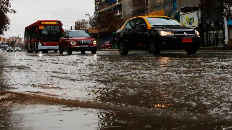
Police helicopters lifted residents and pets from rising water in Talagante while a fast-moving debris flow tore through Las Condes, turning an extraordinary week of rain into a test of warnings, drainage and unequal exposure across metropolitan Santiago.
The Chile Santiago floods forced overnight helicopter rescues after the Mapocho River burst its banks in Talagante, about 35 kilometers southwest of the capital. Chilean police said at least 17 people, including children, were evacuated with pets from the Ribera del Río encampment as fast-rising water cut off homes. Across metropolitan Santiago, the same storm system sent a water-and-mud surge through Quebrada Las Ondas in Las Condes, sweeping vehicles, overturning a public bus and leaving six people injured, including a one-year-old child reported with a fracture.
Officials also reported that one person was found dead in a flooded underpass in San Bernardo. Authorities had not confirmed that flooding caused the death in the reporting available Friday, so the case remains an attributed official finding rather than a confirmed storm fatality.
The rainfall behind the emergency was exceptional for the season. Santiago recorded 74 millimeters in the first seven days of October, making this the city's wettest October in 76 years before the month was even one-quarter complete. In the eastern metropolitan area, Las Condes Mayor Catalina San Martín said accumulated rainfall reached 144 millimeters; another station at Tobalaba had been reported near 146 millimeters earlier in the storm period.
Why this matters: one storm exposed two kinds of flood risk
Mapocho River overflow threatened communities on the metropolitan edge
Talagante's emergency was a river-flood problem. Water spread outward after the Mapocho exceeded its banks, isolating a settlement where residents had limited routes to higher ground. Helicopters were not a dramatic accessory to the response; they were the practical option once roads and foot access became unsafe.
The Ribera del Río operation illustrates why riverside settlements face disproportionate danger. Homes closest to the channel receive the earliest and deepest inundation, while residents may have fewer vehicles, less insurance and less financial room to leave before an order becomes urgent. Pets and belongings slow evacuation further. A rescue can save a life without preventing the loss of a home, income or documents.
The Santiago flash flood mudslide came from the foothills
Las Condes faced a different hazard. Intense rain activated Quebrada Las Ondas near San Carlos de Apoquindo, sending water, mud and debris into streets around General Blanche. Unlike relatively clear urban flooding, a debris flow carries soil, branches and stones; it can push parked vehicles, block drains and strike with more force than its depth suggests.
Authorities placed 10 communes under red alert for mass-movement risk: San José de Maipo, Puente Alto, Pirque, La Florida, Peñalolén, La Reina, Las Condes, Lo Barnechea, Vitacura and Colina. President José Antonio Kast convened the national disaster committee, COGRID, and declared Las Condes a catastrophe zone. Police, firefighters, municipal teams and the army were deployed as officials urged people to avoid unnecessary travel and comply with evacuations.
How Chile reached a drought-to-deluge moment
A long dry era did not remove flood danger
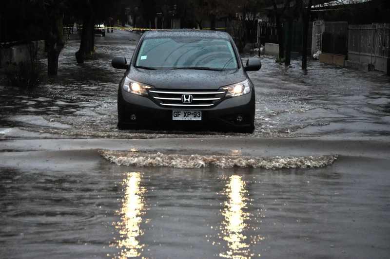
Central Chile's water paradox is that chronic drought and destructive floods can coexist. Years of below-normal precipitation dry soils, stress reservoirs and reshape how cities value rain. But when moisture arrives in concentrated bursts, hard ground can absorb water slowly, urban surfaces shed it quickly and channels receive runoff faster than drainage systems can move it away.
That is why a wet week is not a simple reversal of drought. Reservoirs, aquifers and ecosystems benefit most from sustained, moderate precipitation and snow storage. A violent downpour can add water to the system while simultaneously destroying homes, closing roads and loading rivers with sediment. The people paying the immediate cost are often not the same people who later benefit from improved water supply.
July's storms should have been a rehearsal
Central Chile had already endured major storms in July. Those events produced advance evacuations in exposed areas and gave emergency agencies recent experience with river levels, sheltering and cross-agency coordination. In October, however, Talagante was not evacuated in advance before the Mapocho overflowed, according to reporting reviewed by Signal Post News.
Critics see that contrast as a warning-system failure: a known riverside community needed aerial extraction only months after a similar seasonal emergency. Officials can reasonably answer that flood behavior is localized and forecasts do not predict the exact timing and reach of every overflow. Both points can be true. Forecast uncertainty explains why an evacuation decision is difficult; it does not eliminate the need to define conservative triggers for places where rescue options narrow quickly.
What the rainfall numbers really mean
Chile's rainiest October in 76 years arrived in seven days
The 74-millimeter Santiago total is striking because it was measured over the first seven days of a spring month, not across a full winter. The historical comparison — wettest October in 76 years — describes a calendar record. The operational problem is intensity and timing: how much fell over short periods, which basins received it, and whether drains and channels were already saturated when the next pulse arrived.
Local totals near 144 to 146 millimeters also show why a citywide average can understate neighborhood danger. Mountain and foothill terrain redistributes rainfall. A gauge closer to an activated ravine may record roughly twice the central-city total, while runoff concentrates downslope. Emergency planning therefore needs basin-specific thresholds, not one number for all of Santiago.
Super El Niño Chile 2026 raised the odds, not a single cause
Meteorologists have linked the unusually wet pattern to the powerful 2026–2027 El Niño, widely described as a “Super El Niño.” Warmer tropical Pacific waters alter atmospheric circulation and can favor wetter conditions in central Chile. Forecasts called for more rain, wind and storms through the Southern Hemisphere spring.
El Niño is a background driver rather than a complete explanation for each damaged street. The severity of a flood is also shaped by local topography, soil saturation, drainage maintenance, building patterns, vegetation and the timing of warnings. Treating El Niño as the sole cause would obscure decisions that governments and communities can control.
Who loses, who gains and where public policy is tested
The losses are immediate and unequal
Residents of informal riverside settlements face the steepest losses because exposure, weak construction, limited savings and uncertain tenure compound one another. Commuters and small businesses lose access and income when roads close. Municipalities absorb cleanup and repair costs, while hospitals, schools and transit systems must keep operating through disrupted access.
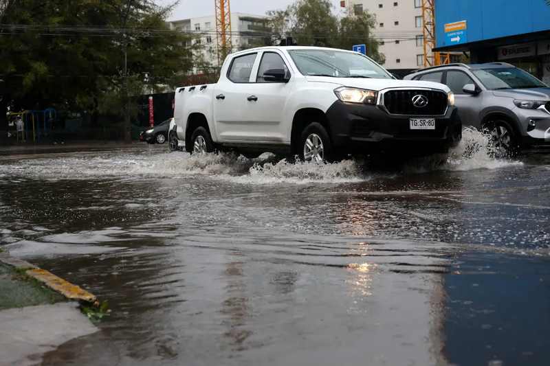
Higher-income districts are not immune: Las Condes showed that expensive vehicles, paved streets and modern buildings remain vulnerable when a ravine activates. Yet recovery capacity differs. Insurance, savings, remote-work options and stronger structures reduce the long-term hit for some households. Disaster losses are measured in water depth; recovery is measured in resources.
Rain can replenish water supplies, but it is not a free dividend
Farmers, reservoirs and drought-stressed ecosystems may benefit if precipitation soaks into soils and contributes to storage. Construction and emergency-repair firms may see more work. Those gains should not be confused with a net social benefit from destructive flooding. Much of the water may rush to the ocean, while public money is diverted from other priorities to cleanup, reconstruction and temporary housing.
Government response versus the warning gap
Kast's rapid COGRID meeting, catastrophe declaration and deployment of national and local teams put state capacity visibly behind Las Condes. Red alerts across 10 communes also recognized that debris-flow danger extended beyond the streets already shown in dramatic videos.
The harder question is why response was more visible after impact than before it in Talagante. A fair assessment will need the forecast timeline, river-gauge data, the thresholds used by SENAPRED and municipal authorities, and records showing when warnings reached Ribera del Río. Without those records, it would be premature either to assign blame or to declare the system worked as designed.
The policy test is not whether officials can predict every flooded block. It is whether warnings are early, local and actionable enough that exposed residents can move before roads disappear. Where uncertainty is high and consequences are severe, pre-arranged transport, named shelter routes and automatic escalation thresholds can reduce reliance on last-minute aircraft.
What happens next
Spring forecasts keep the risk elevated
More wet weather, strong winds and storms are expected through the remainder of the Southern Hemisphere spring. That does not mean each system will reproduce this disaster, but saturated soils and debris-loaded channels can lower the threshold for the next flood or landslide. Officials will need to watch the Mapocho basin and foothill ravines together rather than treating river flooding and debris flow as separate emergencies.
Five infrastructure questions the storm leaves behind
- Did river gauges and upstream forecasts provide enough lead time for a Talagante evacuation, and what threshold was used?
- Are drainage channels and culverts sized for short, intense spring rainfall rather than historical monthly averages?
- How did vegetation loss and development around Quebrada Las Ondas affect runoff and debris movement?
- Which riverside households can be relocated or protected before the next major system instead of during it?
- Will post-storm reviews publish warning timelines, injury counts and damage assessments at neighborhood level?
The central lesson is not that Santiago must choose between drought preparation and flood protection. It needs both. Water storage, watershed restoration, permeable urban design, protected river corridors and evacuation planning are parts of the same resilience system. A city that has learned to fear scarcity must also prepare for the increasingly costly days when water arrives too fast.
Related coverage
- UNDP warns a super El Niño is compounding economic pressure
- California prepares for a potentially historic El Niño
- El Niño risk enters the global food-price outlook
Sources
- Bloomberg Línea — Las Condes debris flow, rainfall total and government response
- El País — vehicles swept away and flooding in eastern Santiago
- CNN Español — red alerts, official statements and EFE photography
- ADN Radio — six injuries reported in Las Condes
- Verified video report — Talagante aerial rescues and police account
The San Bernardo death is reported as an official finding; authorities had not confirmed flooding as the cause in the reviewed reporting. Rescue, injury and rainfall figures may be revised as Chilean agencies complete assessments.
Reporting updated October 9, 2026, with official claims attributed and unresolved causes identified.