Vanuatu earthquake today: a shallow magnitude 6.9 struck the Coral Sea about 197 kilometres west-northwest of Port-Olry, on Espiritu Santo, at 02:31 UTC on Saturday, October 24, 2026, according to the U.S. Geological Survey — briefly triggering a tsunami threat for nearby coasts before the warning centre declared the danger over, with no casualties or significant damage reported in the first hours.
Track it live: Live earthquake tracker — the latest USGS data, aftershocks and alerts for Vanuatu and the Coral Sea as they are recorded.
What happened: a shallow 6.9 under open water
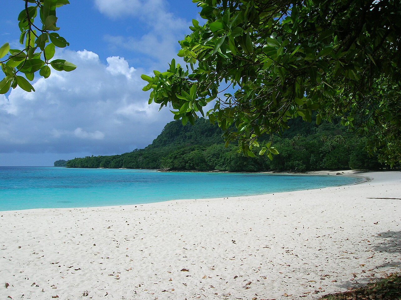
PORT-OLRY, Vanuatu — The earthquake struck at 02:31 UTC on Saturday — 1:31 p.m. local time in Vanuatu, on Friday evening in the Americas — with its epicentre in the Coral Sea at 14.06° south, 165.55° east, according to the reviewed U.S. Geological Survey (USGS) solution for event us6000u4j2. The USGS puts the epicentre about 197 kilometres (122 miles) west-northwest of Port-Olry, the village on Espiritu Santo's northeast coast, and roughly 200 kilometres west of Sola, the capital of Torba Province on Vanua Lava. The depth was just 10 kilometres (6.2 miles) — firmly in the shallow band where an earthquake's energy reaches the sea floor, and potentially the sea itself, with the least loss along the way.
The first wire reports were bigger than the final number. Reuters, citing the USGS's preliminary solution, reported a magnitude 7.2 at 02:53 UTC, about 200 kilometres west of Sola at 10 kilometres' depth. The reviewed USGS solution settled at magnitude 6.9 (moment magnitude, Mww), based on 57 reporting stations, with a green PAGER alert — the lowest of the four alert levels, indicating a low likelihood of casualties or economic losses — a catalogue significance of 734 out of 1,000, and, in the first hours, just three felt reports, with a maximum recorded intensity consistent with light-to-moderate shaking (CDI 3.6, MMI about 5.1) at the nearest land. That gap between the first number and the settled one is normal seismology, not error: early solutions are built from the first stations to report, and they are revised as the full network's data arrives. It is also why the headline figure in this article is the reviewed 6.9, and why the 7.2 appears only here, attributed to the preliminary wire.
What the instruments cannot yet say is what happened on the ground and on the water in Torba and Sanma provinces. In the first hours there were no reports of casualties and no reports of significant structural damage — a formulation this article uses deliberately. Northern Vanuatu is one of the most thinly connected places in the Pacific: inter-island communications are slow, some communities are reachable only by boat, and after the December 2024 earthquake it took days, not hours, for a complete picture to reach Port Vila. "No reports" is a statement about information, not yet about the islands.
The tsunami warning — and the all-clear
Because the quake was shallow, offshore and large, the Pacific Tsunami Warning Center moved quickly. Its early bulletins warned that dangerous tsunami waves were possible for coasts within 300 kilometres of the epicentre — a radius that takes in the northern Vanuatu islands and brushes the southern Solomons — and the USGS event data carried a tsunami flag of 1, the catalogue marker that an event is being assessed for tsunami potential. For coastal villages on Espiritu Santo, Vanua Lava and the Torres and Banks islands, that is the scenario drilled into memory by 2024 and by the 2009 Samoa disaster elsewhere in the region: long or strong shaking, or an official warning, means move to high ground first and ask questions later.
Then the sea gauges and the deep-ocean data said what seismologists hoped they would. In its final bulletin, issued at 2:28 p.m. Vanuatu time — under an hour after the quake — the warning centre declared the tsunami threat over, noting only that minor sea-level fluctuations could continue near the affected coasts for some hours. No tsunami threat was identified for Australia or New Zealand. The sequence matters for how these events should be read: a warning that is issued fast and stood down on evidence is the system working as designed, and the cost of the hour of alarm is measured against the alternative — the coasts that were not warned in time, in 2004 and 2011, are the standing rebuttal to anyone who calls an unnecessary evacuation a failure. Readers following the water rather than the wires can check the live tsunami tracker for the current bulletin state across the Pacific.
Four days, two big earthquakes, one patch of trench
The detail that elevates Saturday's quake from a routine Pacific bulletin to a genuine scientific story is its address. On Tuesday, October 20, a magnitude 6.3 struck at 04:20 UTC with an epicentre at 13.99° south, 165.59° east — 197 kilometres northwest of Port-Olry, in the same Coral Sea waters, as Signal Post News reported at the time. Saturday's epicentre sits within a few tens of kilometres of Tuesday's. Two magnitude-6 ruptures, four days apart, in effectively the same place: seismologists have a vocabulary for this, and choosing the right word matters.
Saturday's 6.9 cannot comfortably be called an aftershock of Tuesday's 6.3, because aftershocks are, by definition and by a century of observation (Båth's law), smaller than the event that spawned them — typically at least a full magnitude unit smaller. An event that is larger than its predecessor breaks the sequence and restarts it: the 6.9 is best read as a new mainshock in the same stressed segment of the New Hebrides trench, and Tuesday's 6.3, in hindsight, as either a foreshock or the first half of a doublet. The energy arithmetic underlines the point. Magnitude scales are logarithmic in energy: each 0.1 step multiplies released energy by about 1.4, so the 0.6 units between 6.3 and 6.9 amount to roughly eight times the energy — Saturday's quake was not a slightly bigger echo of Tuesday's, it was a categorically larger release. And the morning kept moving: a magnitude 6.3 followed at 02:35 UTC, four minutes after the mainshock, about 170 kilometres northwest of Port-Olry, with magnitude 5.8 events recorded at 04:12 and 05:23 UTC in the same offshore zone — the early shape of an aftershock sequence now anchored to the 6.9, each of them, so far, comfortably below it, as Båth's law says they should be.
Why this trench, why now? The New Hebrides (Vanuatu) trench is where the Australian Plate dives eastward beneath the New Hebrides Plate at one of the fastest convergence rates on Earth — on the order of 9 to 12 centimetres a year in the northern segment, several times the rate that built the Himalaya's frontal faults. At that speed, a segment accumulates the strain for a magnitude-7 event in decades, not centuries, which is why Vanuatu's catalogue reads the way it does: a magnitude 7.3 in December 2024, a 7.0 off Tanna in 2023, a 6.9 in the same northern waters in past decades, and a near-constant background of magnitude-5 events. Saturday's pair with Tuesday is what a fast plate boundary looks like when it is working through a stressed patch — clusters, not metronomes. No agency can say whether the segment has now spent its stress or merely redistributed it onto a neighbouring patch, and any source claiming otherwise should be discounted; what can be said is that the aftershock geography over the coming week will map, in outline, the rupture that just happened.
Why this matters
Start with the warning chain, because Saturday was a live-fire test of it. From origin time to Reuters' first wire was 22 minutes; the tsunami threat was declared over within the hour; the reviewed catalogue solution, complete with felt reports and alert level, was public the same morning. Compare the baseline this region is judged against: in December 2024, the magnitude 7.3 that struck 30 kilometres west of Port Vila severed the capital's fibre-optic connection, knocked out the government websites that were supposed to carry emergency information, and left the national broadcaster as the main channel for hours. The lesson drawn then — by the Vanuatu government, by the Pacific Community, and by donors who funded backup satellite links and provincial radio — was that the first hour of a disaster is an information problem before it is a logistics one. Saturday's first hour, for a quake in the remote north rather than off the capital, ran the way the post-2024 reforms intended. That is not a small thing, and it is only visible because nothing worse happened to overshadow it.
Second, the economics of the near-miss. Vanuatu is one of the most disaster-exposed states on Earth — the World Bank and the UN have repeatedly ranked it at or near the top of global risk indices — and it finances that exposure in ways richer countries are still studying. After the 2024 quake, a parametric insurance policy through the Pacific Catastrophe Risk Insurance Company paid out within weeks (the payout was delivered on December 28, 2024), because parametric cover pays on the instrument reading — magnitude and location — rather than on assessed damage. Saturday's 6.9, offshore and (so far) damage-free, is the other side of that instrument's design: it will test thresholds without triggering the kind of payout a landfalling repeat of 2024 would, and it will feed the loss models that price the next policy. For a country whose disaster recovery bill in 2024 was estimated around $230 million against an economy of roughly $1 billion, the difference between a 6.9 at 197 kilometres and a 7.3 at 30 kilometres is not a statistic. It is the difference between a news story and a national emergency — decided, this time as on Tuesday, by geography.
Third, the pattern question, which is where honest analysis has to resist the headline. Two large quakes in four days in one segment invites the word "escalation," and after a week in which a magnitude 7.0 earthquake in Tibet killed 16 people, the Pacific's restlessness can feel like a single story. It is not. Earthquake clustering is local physics — stress transferred along a fault system — and there is no demonstrated mechanism, and no credible scientific claim, linking the Tibet event to the Coral Sea. What the Vanuatu sequence does legitimately raise is a local question with a local evidence base: whether this segment of the New Hebrides trench, which produced a damaging 7.3 at its southern end in 2024 and has now produced a 6.3–6.9 pair at its northern end, is in an active phase that provincial authorities should plan around for the rest of the season. The practical answers are unglamorous and already known — the building-code enforcement, school and hospital retrofits, and early-warning investments funded after 2024 — but Saturday is a data point in favour of finishing them before the segment's next exam, which, at 10 centimetres a year of convergence, is a matter of when, not if. The wider regional picture — from this week's Tibet disaster to the Panama earthquake and tsunami threat earlier this month and the Loyalty Islands quake off New Caledonia — is tracked continuously on the earthquake tracker linked at the top of this article.
The 2024 shadow
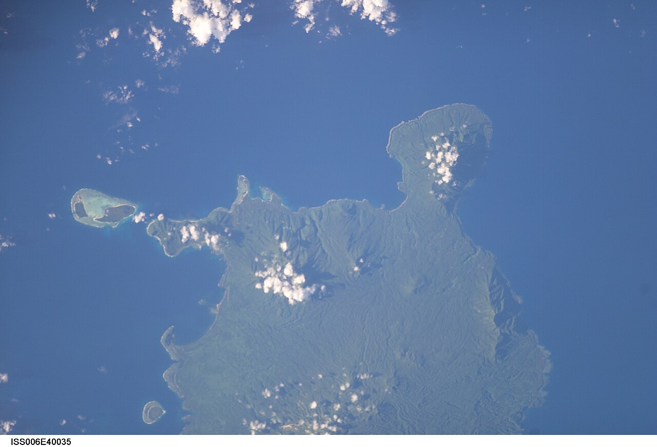
Every Vanuatu earthquake story is now written in the shadow of December 17, 2024, and Saturday's is no exception. That afternoon a magnitude 7.3 struck just 30 kilometres west of Port Vila at 57 kilometres' depth, killing at least 14 people, injuring more than 265, partially collapsing the building housing the US, UK, French and New Zealand embassies, triggering landslides that buried the international shipping terminal area, and affecting some 80,000 people — in a nation of about 300,000. The capital's recovery ran through 2025, and the political aftershocks — a snap election held weeks after the quake, a reconstruction programme financed by donors and the parametric payout — are still unfolding.
The comparison is instructive precisely because Saturday's event shares so many parameters with 2024's and differs in the two that decide outcomes. Magnitude: 6.9 against 7.3 — about a third of the energy. Depth: 10 kilometres against 57 — Saturday's was far shallower, which ordinarily worsens shaking. Distance: 197 kilometres of open ocean against 30 kilometres off a capital city — and it is distance, doing its quiet arithmetic through the attenuation of seismic waves, that turned a shallower, still-large earthquake into felt reports of moderate shaking rather than collapsed buildings. Vanuatu cannot move its cities off the arc; what it can do — and what the 2024 recovery programme is for — is narrow the gap between what the instruments record and what the buildings can withstand, so that the next time the distance term in the equation comes up short, the outcome is not decided by luck.
What happens next
Four things to watch. First, the aftershock sequence: after a shallow 6.9, seismologists expect days to weeks of decaying activity, with a statistical chance — small but real — of an aftershock in the mid-6 range in the first week; the 6.3 recorded four minutes after the mainshock may prove to be the largest of them. Second, the assessment: statements from Vanuatu's National Disaster Management Office and the Vanuatu Meteorology and Geo-Hazards Department, and any reporting from Torba and Sanma provincial authorities, are what will convert "no reports of damage" into a verified all-clear for the northern islands — the same ground-truth caution that applies whenever early bulletins outrun reporting from remote communities. Third, the catalogue: the reviewed 6.9 may be refined as further station data is incorporated, and the focal mechanism, when published, will show whether Saturday's rupture was thrust motion on the plate interface — the tsunami-generating kind — or slip on a subsidiary fault, a distinction that shapes how this segment's hazard maps are drawn. Fourth, the standing question from Tuesday: whether this segment falls quiet now, or whether the week's activity migrates along the trench, as sequences in this arc have done before.
For now, the ledger entry is a merciful one. The trench moved harder on Saturday than it had on Tuesday — eight times harder — the warning system answered in minutes and stood down on evidence within the hour, and the ocean absorbed what the islands, this time, were spared. In Vanuatu, where the memory of December 2024 is carried in every rebuilt wall in Port Vila, an earthquake that ends as a science story is not a non-event. It is the outcome the whole apparatus — the gauges, the bulletins, the drills, the insurance, the codes — exists to produce.
Sources
U.S. Geological Survey — event us6000u4j2, reviewed solution (Mww 6.9, 02:31 UTC, October 24, 2026; 14.056°S, 165.546°E; depth 10 km; PAGER green alert; tsunami flag) and same-morning catalogue entries for the M6.3 and M5.8 events near Port-Olry (earthquake.usgs.gov); Reuters — "Magnitude 7.2 earthquake strikes waters near Vanuatu, USGS says," October 24, 2026 (preliminary wire figure, ~200 km west of Sola); Pacific Tsunami Warning Center bulletins via Allora News — tsunami threat declared over, final bulletin 2:28 p.m. Vanuatu time, October 24, 2026; The Watchers — USGS event summaries for the October 24 Vanuatu sequence; U.S. Geological Survey — event us6000u3jl (October 20, 2026, M6.3 near Port-Olry); Seismological Society of America — source and impact characterisation of the December 17, 2024 M7.3 Port Vila earthquake; Shelter Cluster / Vanuatu National Disaster Management Office situation report, December 2024; Temblor — "2024 Vanuatu earthquake triggered rapid insurance payout for emergency response," 2025.