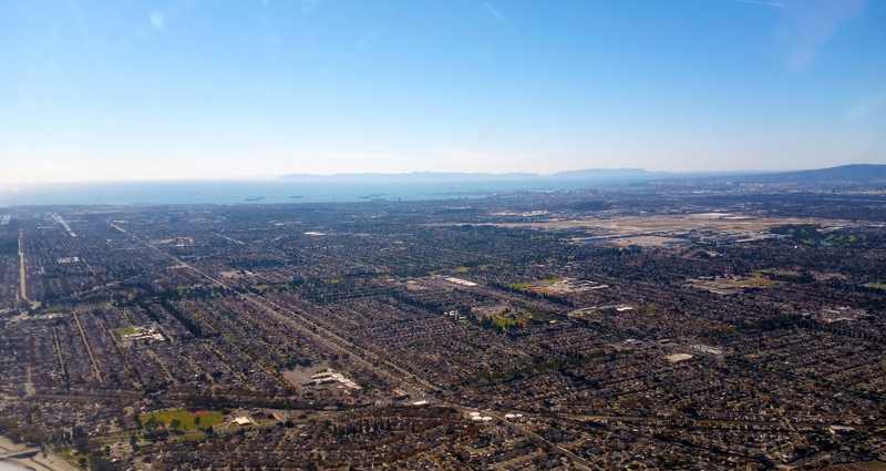
Long Beach flooding: Powerful waves from former Hurricane Rachel tore apart sections of the Long Beach Peninsula boardwalk Friday morning, leaving one beachfront home on the verge of collapsing into the Pacific. KTLA's helicopter captured chunks of the shattered boardwalk floating out to sea as high tide hit shortly after 9 a.m. Floodwaters swamped nearby streets and patios while erosion kept chewing at the foundations of beachfront homes. "This is easily the most damage I have seen over the past couple of weeks," KTLA's Rich Prickett said from the helicopter — and officials warn the worst may still be coming.
Rachel was downgraded from a Category 1 hurricane to a tropical storm early Thursday morning. It never made landfall. But its powerful swells, colliding with unusually high tides, have proven more than enough to batter a coastline already weakened by Hurricanes Marie and Polo weeks earlier. The National Weather Service has a coastal flood advisory in effect through 2 p.m. Tuesday, October 13 — with the greatest danger expected around Sunday, when stronger swells and peak tides combine. Monday's storm surge could reach about 7 feet.
Red tags on the Peninsula
Along the 6400 and 6500 blocks of Seaside Walk, inspectors issued preliminary red tags for two structures and a yellow tag for another Friday. A red tag means a building is unsafe to enter; a yellow tag lets owners retrieve belongings but not stay until the structure is declared safe. Combined with a previously yellow-tagged building damaged during Hurricane Marie, four structures on the Peninsula are now officially damaged. All were unoccupied, and crews were assessing further damage Friday to decide whether evacuations would be necessary.
The city also reported significant damage to roughly 30 feet of the Peninsula bulkhead between 65th and 66th Place. Persistent wave energy had been hammering the structure for days; crews made repairs during low tide and reinforced the breach with approximately 1,000 sandbags where lumber had been destroyed. Video captured around 1 a.m. Friday showed powerful waves washing clean over the boardwalk — hours before the high tide finished the job.
Newport Beach: pumps running, crews on standby
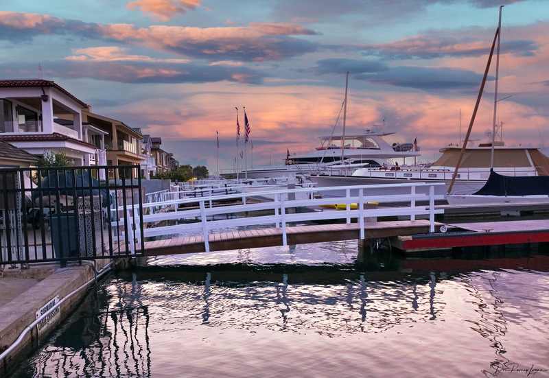
Down the coast in Newport Beach, the fight is quieter but just as urgent. Utility crews have spent recent evenings running pumps along the Balboa Peninsula and on Balboa Island to keep seawater at bay, and plan to continue through the weekend and into Monday if rain persists, city spokesperson Georgia Rios said. Berms are being reinforced, and 40 to 50 city employees are expected to work each day over the weekend responding to flooding and related problems. "We typically see flooding on the peninsula and island in low-lying areas," Rios said — and this weekend's tides are anything but typical.
In Laguna Beach, waves arrived about 2 feet higher than expected Thursday with surf around 5 feet, and minor flooding was reported around Pacific Coast Highway, according to Marine Safety Chief Kai Bond. Forecasters are watching three overlapping factors: larger-than-normal surf, high tides, and a Kelvin wave — a warm-water anomaly traveling up from the equator that pushes water levels higher for extended periods. "It's really hard to tell what's what at this point," Bond admitted. "We have three things going."
Why this keeps happening
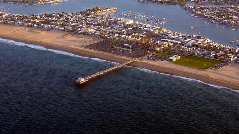
This is the third tropical system in weeks to hammer this stretch of coast — Marie over Labor Day weekend, Polo after that, now Rachel. Each storm strips sand, damages seawalls, and leaves the next one a weaker coastline to attack. The Long Beach Peninsula's boardwalk was already damaged during Marie; its sand berms were washed away; homes were threatened then too. Rachel is exploiting every weakness its predecessors exposed. Coastal engineers call it cumulative vulnerability: the defenses don't get a chance to rebuild between hits, so each successive storm does disproportionate damage.
The timing makes it worse. October king tides are among the highest of the year, and the Kelvin wave is elevating baseline sea levels along the entire Southern California coast. A storm that might have been manageable in August becomes destructive in October — the ocean is simply starting from a higher floor.
Why this matters
For residents, the immediate stakes are homes and safety: red-tagged buildings, flooded streets, and a Sunday forecast that could exceed Friday's damage. For the region, it's infrastructure: PCH flooding, damaged seawalls, and overwhelmed pumps are the visible edge of a coastline that wasn't designed for this tempo of tropical systems. And for California more broadly, it's a preview problem — warmer oceans are expanding the range and season of the storms that reach the West Coast, and the engineering assumptions behind every seawall and berm from San Diego to Santa Barbara were built for a calmer century.
What happens next
Watch Sunday. Forecasters flag Sunday as the peak danger window, when the strongest swells meet the highest tides. If Friday shredded the boardwalk, Sunday will test everything behind it.
Watch the tags. Inspectors are still assessing; more red and yellow tags — and possible evacuations — could follow Friday's damage survey.
Watch Newport's pumps. Balboa Island and the Balboa Peninsula are the low-lying canaries. If the pumps can't keep up this weekend, street flooding follows.
Heed the advisory. The NWS coastal flood advisory runs through Tuesday 2 p.m. Avoid beaches around morning high tide, stay off rocks and jetties, and never drive through flooded streets or around barricades.
Sources
- New York Post — "Beachfront home on brink of collapse as tropical storm batters Southern California," October 9, 2026
- FOX LA — "Long Beach coastal flooding: Tropical Storm Rachel damages homes, seawall," October 9, 2026
- USA Today — "After October heat wave, Southern California braces for rain, flooding and high surf," October 2026