Bouquet Fire Santa Clarita
Bouquet Fire Santa Clarita — the wildfire burning in the Angeles National Forest northeast of the city had reached about 1,048 acres and 40% containment by late Sunday afternoon, October 4, after exploding from roughly 20 acres to more than 1,000 within hours. The latest figures, reported by USA Today and by the U.S. Forest Service through MyNewsLA, mark real progress but not the end of the danger.
Three Los Angeles County zones remained under evacuation orders: LAC-E018, LAC-E030-B and LAC-E031-A. Warnings covered LAC-E016, LAC-E017, LAC-E019, LAC-E020, LAC-E021, LAC-E029, LAC-E030-A, LAC-E030-C and LAC-E031-B. The live boundary between an order, a warning and normal status can move; residents should use the county's Genasys Protect evacuation map, not a screenshot or social-media repost.
Bouquet Canyon Road was closed between Spunky Canyon Road and Vasquez Canyon Road. The Rowher Flat and Drinkwater off-highway vehicle areas were also closed. A shelter was operating at the Ryan M. Clinkunbroomer Castaic Sports Complex, 31230 Castaic Road, Castaic, with small pets accepted.
What happened: a 20-acre start became a 1,000-acre fire
The fire was reported at about 3:19 p.m. Friday, October 3, near Bouquet Canyon Road and Quarry Road in the 34800 block. The first estimate was around 20 acres. By late Friday, the burn had expanded to roughly 1,044 acres as flames moved through steep, brush-covered country where engines cannot simply drive to every active edge.
Night operations bought firefighters time but not certainty. Night-flying helicopters worked until roughly 1:21 a.m. Saturday, while fixed-wing aircraft were released after darkness and low visibility made continued operations unsafe. Multiple air tankers were requested for the morning shift, according to Forest Service updates relayed by MyNewsLA.
Early Saturday reporting put containment near 30%. By late afternoon it had risen to 40%, even as a midday flare-up sent up more smoke and brought airtankers and helicopters back from nearby Fox Field. That sequence matters: the incident was not a smooth march from growth to victory. Crews improved parts of the perimeter while heat remained inside it and terrain continued to complicate access.
Bouquet Fire containment today: why 40% does not mean 40% extinguished
Containment is a perimeter measure. At 40%, crews have established control line — natural barriers, dozer line, hand line, roads or cooled fire edge — around about two-fifths of the fire's circumference that commanders believe can hold under expected conditions. It does not mean 40% of the acreage has stopped burning, and it does not mean the remaining 60% will burn.
The distinction between contained and controlled is the difference between a defensible boundary and the confidence that fire is unlikely to escape that boundary. Islands of vegetation can continue burning inside a contained perimeter. Roots, stumps and ravines can hold heat. Wind can loft embers over a line. That is why residents may see smoke even as the percentage rises and why an afternoon flare-up can occur without erasing every gain made overnight.
The cleanest reading of the numbers is this: growth slowed dramatically after the first run, and firefighters secured meaningful ground. But 40% still leaves a majority of the perimeter without completed containment line, while the weather is working against them.
Why this matters: October heat has stretched the danger window
The significance of this Angeles National Forest fire is not its acreage alone. Los Angeles County has endured much larger burns: the 2009 Station Fire consumed roughly 160,000 acres and the 2020 Bobcat Fire nearly 116,000. The warning in Bouquet Canyon is how quickly a much smaller ignition can threaten homes and mountain travel when an October fire-season landscape overlaps with an exceptional heat event.
The National Weather Service Los Angeles/Oxnard kept an extreme heat warning in effect through 8 p.m. Thursday, October 8, for the Santa Clarita Valley and other Los Angeles and Ventura County zones. The bulletin warned of valley temperatures as high as 105°F; regional forecasts placed many highs in the 92–105°F range.
Heat helps fire in three connected ways. It pulls moisture from fine fuels, preheats vegetation before flame reaches it and makes sustained line work harder on crews. Low relative humidity further lowers the moisture content of grasses, leaves and small branches — the fuels most likely to carry a fast run. A persistent ridge of high pressure, often described as a heat dome, suppresses cloud formation and traps hot air beneath it. That does not ignite a fire, but it can make the landscape more receptive once an ignition occurs.
October is also a transition month in Southern California. The first cool-season rain may not have arrived, while offshore wind episodes can begin. The Bouquet Fire does not need to become another Station or Bobcat fire to be consequential. It only needs an unsecured edge, aligned slope and wind, or a shower of embers crossing a canyon at the wrong hour.
Firefighting in steep terrain: air power buys time, ground crews secure it
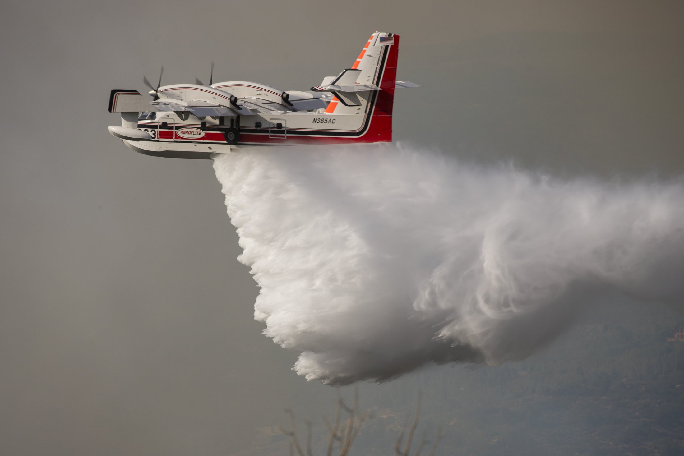
Aircraft are the most visible part of a wildfire response, especially when tankers and helicopters operate from Fox Field. Their job is often to slow the head of the fire, cool hot spots, protect structures or paint retardant ahead of advancing flames. Those drops can change the tempo. They rarely finish the job by themselves.
Containment becomes durable when crews on the ground connect line, cut vegetation, extinguish heat near the edge and patrol for spot fires. In steep canyon country, that work can be slow. Slopes accelerate uphill flame spread, drainages channel wind and rolling debris can carry fire below a crew. Smoke may erase the visibility pilots need, as it did Friday night, and extreme heat raises the physiological cost of every mile on foot.
This is why the midday flare-up and the 40% figure belong in the same story. Air resources can blunt a surge; hand crews, engines and dozers must convert that temporary advantage into an edge that can survive the next hot afternoon. The tactical measure of success is not the number of aircraft seen overhead. It is whether the line still holds after wind, heat and burning material test it.
Santa Clarita wildfire evacuation orders: leaving early is the safer choice
An evacuation order is an instruction to leave now. A warning means prepare to leave, not wait until flames are visible. Canyon roads can narrow, smoke can cut visibility and emergency vehicles need access in both directions. The evacuation-zone codes may feel abstract, but they are designed to let officials update precise geographic areas faster than naming a patchwork of streets.
Residents under warning should stage a go-bag with medications, identification, keys, chargers, water, N95 masks, protective clothing and pet supplies. Park facing outward, keep fuel in the vehicle and identify at least two routes that do not depend on Bouquet Canyon Road. Families should agree on one out-of-area contact and a meeting point because cell networks can become congested.
The psychology of evacuation is often a contest between routine and evidence. People wait because the sky looks clear, because a previous warning was lifted or because they fear theft and inconvenience. But wildfire decisions are made under uncertainty. Leaving during a warning may produce an unnecessary night away. Leaving late can put a household, neighbors and firefighters into a traffic and rescue problem no one can safely solve.
Officials, including Gov. Gavin Newsom, amplified safety guidance Friday. The useful measure of public communication now is consistency: one current map, one clear distinction between orders and warnings, and rapid correction of outdated lists. For current incident context statewide, readers can also check the official Cal Fire incident page, while recognizing that Angeles National Forest is federal land and the Forest Service is a primary incident source.
Forest management versus climate: the argument misses the shared risk
Wildfires reliably revive a political split. Critics of forest policy point to accumulated fuels, restrictions on mechanical thinning and the slow pace of prescribed burning. Climate-focused officials emphasize hotter conditions, deeper fuel drying and a lengthening season. Both can become slogans that obscure the operational reality.
Fuel treatment can reduce flame length and give crews safer places to work, but no realistic program removes all burnable vegetation from millions of steep acres. Heat does not erase the importance of ignition prevention or land management, but it changes how quickly fuels dry and how forgiving a control line will be. Housing at the wildland-urban edge adds another layer: every road, power line and backyard creates both an asset to defend and a possible ignition pathway.
The practical question is not which single explanation wins. It is whether agencies can reduce avoidable ignitions, maintain defensible corridors, harden homes, expand prescribed-fire windows, staff the initial attack and warn residents before a canyon evacuation becomes a race.
Bouquet Canyon Road closure, shelter and smoke guidance
The Bouquet Canyon Road closure between Spunky Canyon and Vasquez Canyon removes a familiar route precisely when detours may be busiest. Drivers should not use navigation apps to enter a closed fire area; algorithmic shortcuts can route vehicles onto narrow roads needed by emergency crews. Rowher Flat and Drinkwater OHV closures are also part of the response perimeter, not optional recreation advice.
The Castaic evacuation shelter at the Ryan M. Clinkunbroomer Castaic Sports Complex provides a destination for displaced residents and accepts small pets. People with larger animals should act early and follow county animal-care instructions rather than waiting for a transport crunch.
Smoke risk does not stop at an evacuation line. A SoCal fire smoke advisory can affect people miles from visible flame, especially children, older adults, pregnant people and anyone with asthma, heart disease or other respiratory conditions. Keep windows and doors closed when smoke is heavy, set central air to recirculate, run a portable HEPA filter if available and avoid strenuous outdoor activity. An N95 can reduce inhalation of fine particles when worn correctly; cloth face coverings do not provide the same protection from wildfire smoke.
What happens next: the October 5–8 danger window
Three variables will decide the next phase. First is whether night crews can tie the remaining open perimeter into roads, ridges and completed hand or dozer line. Second is whether afternoon winds align with an unsecured drainage and produce spotting. Third is whether the heat and low humidity continue to revive interior fuels strongly enough to challenge the edge.
The favorable scenario is steady line construction, limited overnight growth and a rising containment number even as heat persists. The more dangerous scenario is a flare-up near an open edge, followed by ember transport across a line or into a canyon that has not yet been secured. Neither scenario can be inferred from the percentage alone.
Residents should check the Los Angeles County fire evacuation zones before sleeping and again before travel, keep phones charged with emergency alerts enabled, and treat any new order as immediate. Those outside the zones should avoid the closure area, leave roads to responders and be prepared for smoke shifts.
The Bouquet Fire cause remains under investigation. Until investigators release evidence, assigning blame would be speculation. The verified story at this hour is more concrete: a fire that multiplied roughly fiftyfold in its first hours has been slowed but not sealed, three zones are under orders, a shelter is open, and a multi-day heat warning is narrowing the margin for error.
Sources and reporting notes
- USA Today: acreage, containment, evacuations and closures, October 4, 2026
- MyNewsLA, citing the U.S. Forest Service: fire timeline and operational update, October 4, 2026
- MyNewsLA: 1,048 acres and 40% containment, October 4, 2026
- National Weather Service Los Angeles/Oxnard: extreme heat warning through October 8
- Cal Fire incident page
- Genasys Protect: Los Angeles County evacuation map
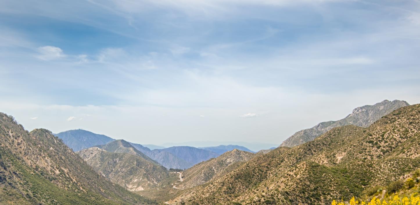
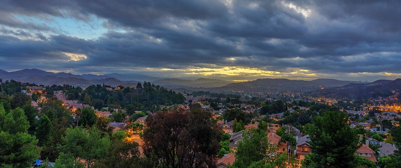
Reporting note: Acreage, containment, zones and closures are a dated snapshot published at 12:45 a.m. PDT on October 5. Emergency conditions can change quickly; consult the linked official map and agency updates. All three photographs are labeled context images and do not depict the October 2026 Bouquet Fire.