World / Science — Ask why does Tibet have earthquakes and the answer starts 50 million years ago, with an entire subcontinent that refused to stop. Thursday's magnitude 7.0 near Nagqu is the latest receipt from the slowest, largest collision on Earth.
Why does Tibet have earthquakes? Because Tibet is not finished being built. The magnitude 7.0 earthquake that struck Nagqu prefecture at 10:33 p.m. on Thursday, October 22 — the strongest in China since January 2024 — happened inside the largest collision zone on the planet, where the Indian plate is still driving into Eurasia and the highest plateau on Earth is, in response, doing something less intuitive than rising: it is also spreading sideways, cracking along normal faults as it goes. Understanding Thursday's earthquake means understanding both motions at once.
Track it live: Live earthquake tracker — significant earthquakes worldwide
A continent that will not stop
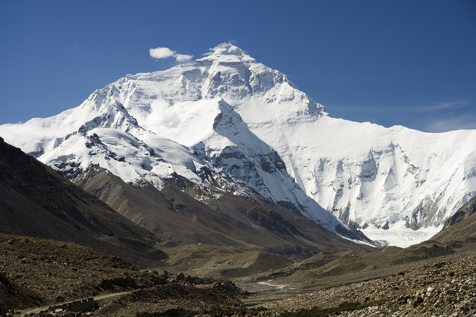
About 50 million years ago, the northward-drifting Indian plate closed the ancient Tethys Ocean and ran into Asia. Continents do not crumple like car bonnets and stop; India kept coming, and it is coming still, converging on Eurasia at a rate measured in centimetres per year — roughly fingernail speed, sustained for geological time. The USGS, in the tectonic summary issued for Thursday's earthquake, describes the engine plainly: the India plate collides with and underthrusts Eurasia, and that continental subduction drives the uplift of both the Himalaya and the Tibetan Plateau.
The results are written across the map. The Himalaya — Everest and thirteen other 8,000-metre peaks — are the crumple zone's front ridge. Behind them, the collision has thickened the crust to roughly twice its normal depth and lifted an entire plateau the size of Western Europe to an average elevation near 5,000 metres. None of this is ancient history in the past tense. The convergence continues, the crust continues to shorten and thicken, and every year the strain budget of the plateau grows. Earthquakes are how the plateau pays that budget out.
The plateau is spreading, not just rising
Here is the part that surprises people: Thursday's earthquake was not a direct shove from India. The USGS classified the mechanism as normal faulting — one block of crust sliding down and away from another — on a moderately dipping fault inside the plateau. Normal faults are the signature of crust being pulled apart, not squeezed. So why is a collision zone stretching?
Because of gravity. Piled up to twice-normal thickness and five kilometres high, the plateau holds enormous gravitational potential energy, and like any soft, over-steepened mass it tends to slump outward under its own weight — the USGS's own analogy is of something viscous spreading flat once poured. The result is that while the plateau's southern edge is thrust over India and its margins are crushed against the rigid blocks of China, its high interior extends east–west, accommodated by a family of north–south rift valleys and normal faults, interleaved with great east–west strike-slip faults that let blocks slide past one another like cards in a shearing deck.
Thursday's rupture fits that interior pattern precisely. The USGS finite-fault model describes a rupture tens of kilometres long — an event of this size typically slips across a fault plane on the order of 50 by 20 kilometres — with peak slip of about two metres. In human terms: in under a minute, a slab of the highest terrain on Earth dropped and shifted by roughly the height of a doorway, and the plateau extended by that much more. Multiply that by 29 earthquakes of magnitude 7.0 or larger within the plateau and its bounding regions since 1900 — the USGS's count — and you have the real answer to the question: Tibet has earthquakes because the collision is young, violent and unfinished, and because the plateau it built is heavy enough to tear itself apart while it rises.
What MMI VIII actually means
The USGS ShakeMap for Thursday's event modelled peak shaking at Modified Mercalli Intensity VIII. The Mercalli scale is not a measure of the earthquake's size but of its effects at a given place, and VIII sits at the ugly end of its twelve steps: severe shaking, slight damage in specially designed structures, considerable damage in ordinary substantial buildings with partial collapse, great damage in poorly built structures, chimneys and walls down, heavy furniture overturned. It is the intensity at which the argument stops being about the earthquake and becomes about the building.
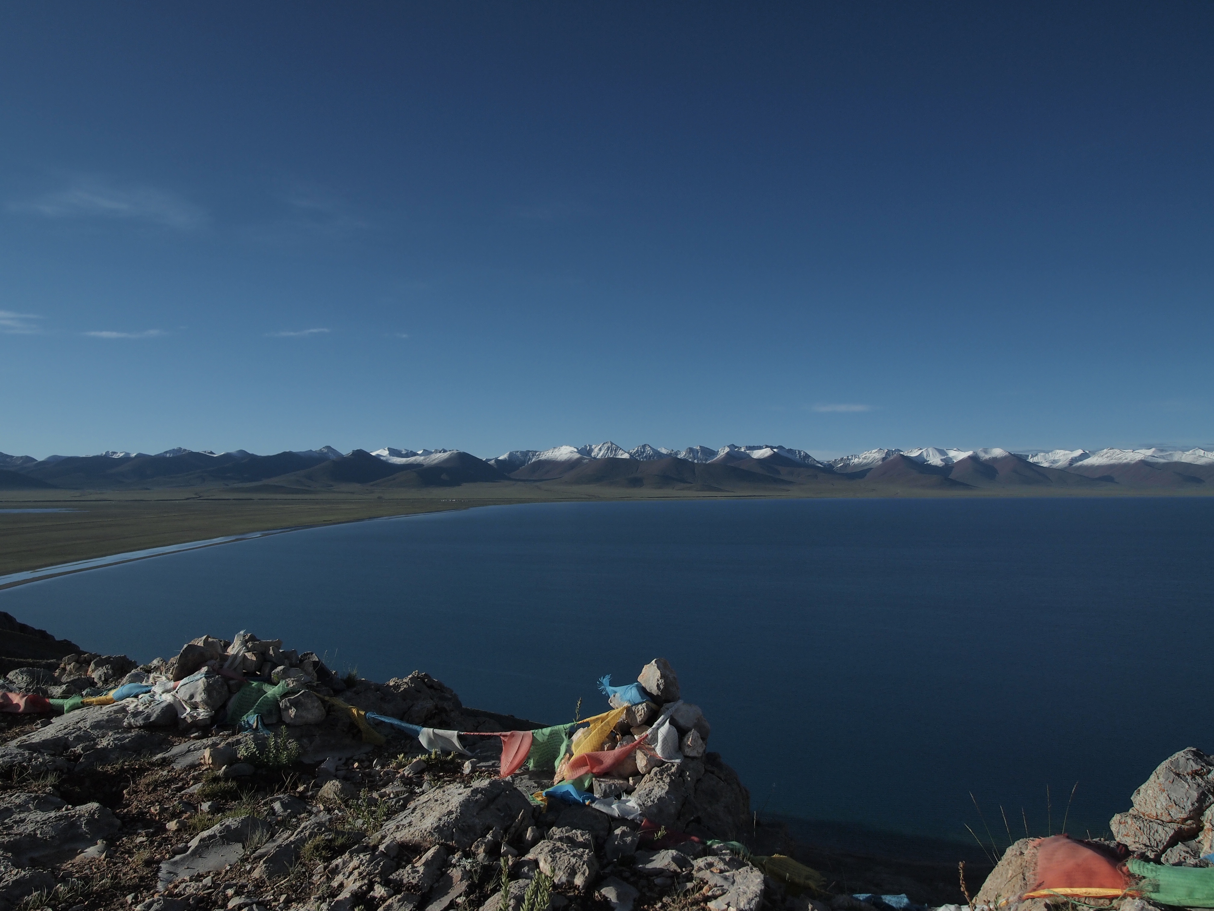
Now apply that shaking at 4,864 metres. Altitude does not change the physics of the shaking, but it changes everything after it. October nights on the northern plateau fall well below freezing; rescuers working at that elevation breathe air with roughly half the oxygen of sea level; the townships are separated by distances that would swallow a European county. And the buildings receiving MMI VIII are, in the USGS's assessment, predominantly adobe block and unreinforced brick with mud mortar — materials with almost no capacity to flex. The same MMI VIII that cracks a framed city can erase an earthen village. That asymmetry — identical instrument readings, wildly different outcomes — is the central fact of plateau seismology.
Yushu 2010: the modern warning
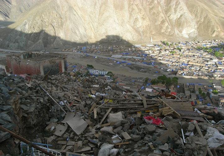
The plateau has already run this experiment in living memory. On April 13–14, 2010, a magnitude 6.9 (USGS) / 7.1 (CENC) earthquake struck Yushu in Qinghai, only about 272 kilometres from Thursday's epicentre, killing more than 2,500 people — Chinese figures put the toll at at least 2,698, with nearly 300 missing. The town of Gyegu, a centre of Tibetan Buddhism, was devastated: monasteries split, schools collapsed, and the overwhelming majority of its earthen and unreinforced buildings failed. Thursday's quake shares Yushu's essential recipe — shallow focus, plateau interior, vulnerable vernacular construction — and differs mainly in the size of the population inside the severe-shaking footprint, which the USGS estimates this time in the low thousands rather than the tens of thousands.
Yushu is not even the plateau's worst. The largest event in the USGS's regional catalogue, the magnitude 8.6 Assam–Tibet earthquake of August 15, 1950, near the plateau's eastern syntaxis, killed more than 4,000 people and remains among the largest continental earthquakes ever recorded. The plateau's bounding margins add their own entries — great thrust earthquakes along the Himalayan front to the south, and the Longmenshan fault to the east, whose 2008 Wenchuan rupture showed what the collision's stored strain can do to a populated margin. The pattern across a century is not of a region with occasional bad luck. It is of a system under permanent load.
What Thursday's mechanism tells seismologists
The focal mechanism — the seismological fingerprint of how the fault moved — is a diagnostic, not a detail. A normal-faulting signature in the plateau interior tells scientists the rupture released extensional strain, the slow sideways yield of over-thickened crust. That has practical consequences. Extensional fault systems are geometrically limited: their dipping fault planes and the thinner, weaker upper crust they cut tend to cap individual ruptures in the magnitude 7 range, whereas the great thrust faults of the plateau's margins — where one slab of crust is being shoved bodily over another along a shallow-dipping plane — can sustain the much larger rupture areas of magnitude 8 events. It is one reason the plateau's deadliest historical disasters cluster at its edges, and why Thursday's interior event, for all its severity near the epicentre, was never likely to be another 1950.
It also shapes the aftershock expectation. The USGS has already recorded the sequence beginning — a magnitude 5.2 within the first hour — and warned that further aftershocks, some potentially strong, may follow as the crust around the rupture re-settles into its new geometry. Each aftershock is data: mapped precisely, the aftershock cloud will outline the fault plane that slipped and show whether the rupture stopped at a segment boundary or left a neighbouring segment loaded. Seismologists in Beijing, at the USGS and in university labs worldwide will spend the coming weeks reading that outline for what it says about the next segment along the rift.
The honest limits of knowing
None of this understanding converts into prediction. No agency on Earth can say when the next plateau rupture will come, and any that claims otherwise is selling something. What the science does support is a probabilistic map: which fault systems are active, how fast strain accumulates across them, and what the historical catalogue — 29 magnitude 7-plus events in and around the plateau since 1900 — implies about the rate at which the system discharges. China's monitoring establishment, CENC, operates one of the densest national seismic networks in the world, which is why Thursday's parameters were public within minutes. The open scientific question is not whether Tibet will shake again. It is whether the buildings standing on the next rupture will be better than the ones standing on this one.
Why a remote earthquake is not a small one
It would be easy to treat a magnitude 7.0 under empty grassland as geology's tree falling in an unpeopled forest. The plateau does not allow that reading. Its high interior is the water tower of Asia: the Yarlung Tsangpo (which becomes the Brahmaputra), the Yangtze, the Yellow River's great bend, the Mekong and the Salween all draw on plateau headwaters, and earthquake-triggered landslides — for which the USGS issued an Orange alert on Thursday — can dam, divert or foul those rivers far downstream of any shaking. The plateau is also now threaded with the infrastructure of a modern state: the Qinghai–Tibet railway, expressways, power interconnections and pipelines all cross ground that the historical record says will rupture again.
And there is the simplest reason: the plateau's emptiness is unevenly distributed. Its interior is sparse, but its edges — the Himalayan front above the plains of India, Nepal and Bhutan, the Sichuan margin above Chengdu's millions — hold some of the densest populations on Earth within a day's drive of faults with the same pedigree as Thursday's. Every plateau earthquake is a free, unwanted rehearsal for the ones that will not be remote.
Why this matters
Thursday's earthquake will likely be remembered, if the early population estimates hold, as a fortunate one: a major rupture that spent its worst energy on grassland. Its scientific value is the opposite of its human luck. Each well-recorded plateau earthquake refines the map of which faults are loaded, tests the extensional model of the plateau's interior, and calibrates the alerts — like the USGS's Yellow-for-fatalities, Orange-for-losses assessment issued within the hour — on which governments from Beijing to Kathmandu will act when a similar rupture arrives somewhere crowded. The collision that built Tibet is not slowing down on any human timescale. The only variable societies control is how much they understand it before the next receipt comes due. For the ground-level story, read our main report on the Nagqu earthquake and the running account of what is known about damage and casualties. For a different fault system entirely — the subduction zones that threaten coasts — see our Panama earthquake tsunami safety explainer.
Sources
U.S. Geological Survey, event page for us6000u43g, including the tectonic summary, moment tensor and finite-fault products (Oct 22, 2026) — earthquake.usgs.gov; Reuters, "Earthquake of magnitude 7 strikes China's Tibet" (Oct 22, 2026), for CENC figures and the 2010 Yushu toll — wdsm710.com; The Watchers, "Strong and shallow M7.0 earthquake hits Xizang-Qinghai border region, China" (Oct 22, 2026) — watchers.news; USGS ShakeMap and ground-failure products for event us6000u43g — earthquake.usgs.gov.