World / China — The Nagqu earthquake damage and casualties picture is, hours after a magnitude 7.0 struck northern Tibet, mostly blank — and in a region this remote, the blank is itself information. Here is what is confirmed, what is not, and what the next 48 hours will decide.
Nagqu earthquake damage casualties: as of Thursday night, no official figure for either exists — and in a region this remote, that blank is itself information. The instruments have told us a great deal: a magnitude 7.0 earthquake, shallow, at night, under one of the highest inhabited landscapes on Earth. The people have told us nothing yet, because no confirmed damage assessment for the October 22 Nagqu earthquake has been released by any authority either. This page separates the two kinds of knowledge rigorously: what is confirmed, what is modelled, and what remains unknown.
Track it live: Live earthquake tracker — significant earthquakes worldwide
Confirmed: the facts that are not in dispute
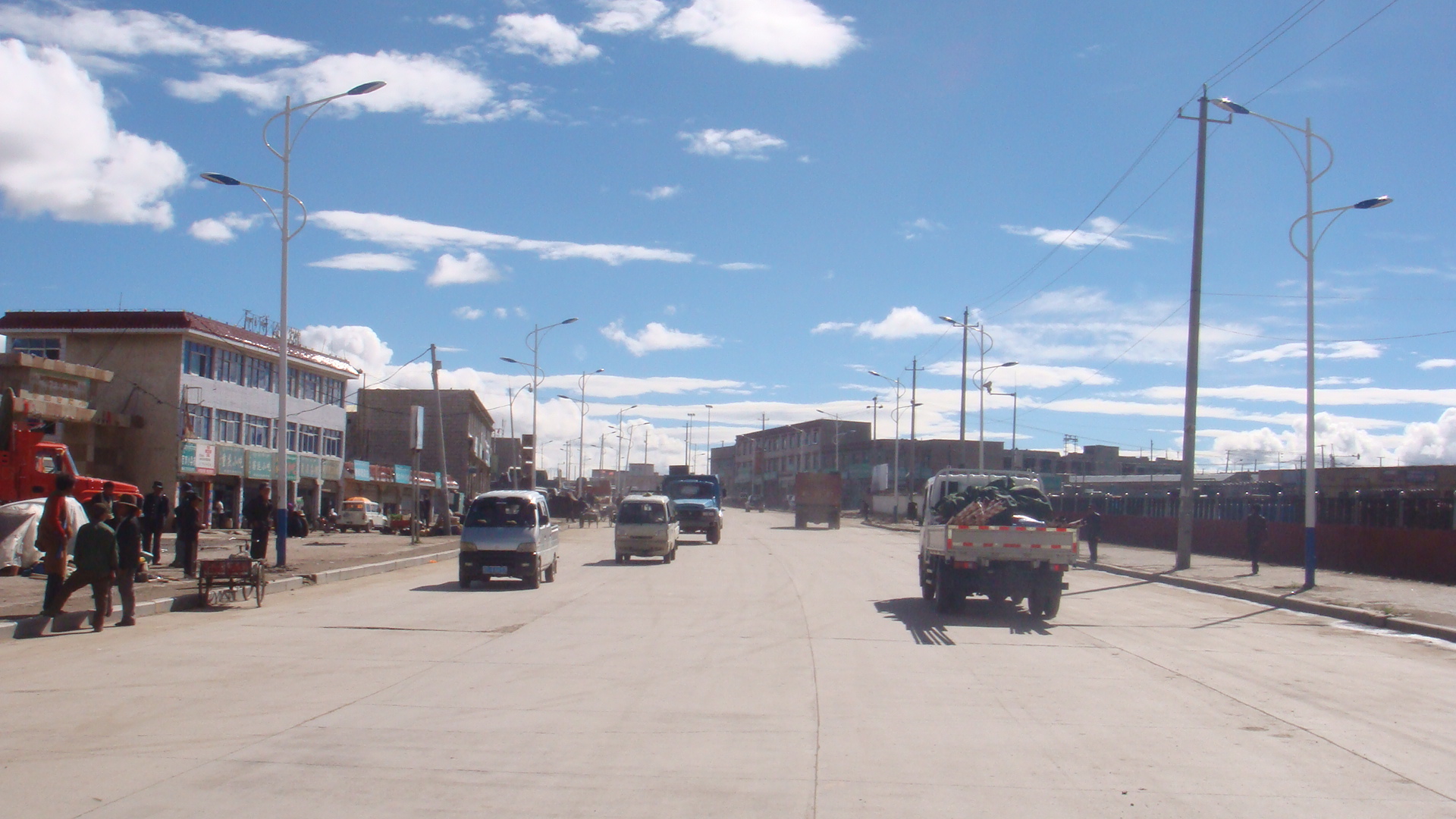
Time and place. The earthquake struck at 10:33 p.m. local time on Thursday, October 22, 2026 (14:33 UTC). Its epicentre was in a high-altitude county of Nagqu prefecture in the Tibet Autonomous Region — identified in Chinese reporting as Baqên County — near the Qinghai border, roughly 183 to 191 kilometres east-northeast of Nagqu city and around 400 kilometres from Lhasa. Magnitude. 7.0, agreed by both the USGS and China's CENC; some of the very first wire reports said 7.2, but no agency's settled figure is anything other than 7.0. Depth. Shallow — CENC says 10 kilometres, the USGS origin solution says 18 kilometres; the disagreement is normal between agencies and does not change the assessment. Shaking. The USGS ShakeMap models peak intensity at MMI VIII (severe); about 111,000 people experienced shaking of MMI V or greater, but only an estimated 7,000 people were in the severe-to-very-strong zones. Alerts. USGS PAGER: Yellow for fatalities, Orange for economic losses; USGS ground-failure products: Orange for landslide hazard. There is no tsunami threat — the epicentre is deep inland, and the USGS tsunami flag for the event is zero. Setting. Average elevation within five kilometres of the epicentre is about 4,864 metres; CENC describes the quake as the strongest in China since January 2024, and says it was clearly felt locally. Aftershocks have begun: a magnitude 5.2 was recorded at 15:12 UTC, about 40 minutes after the main shock.
Not confirmed: the numbers nobody has yet
Casualties: none confirmed, none ruled out. Reuters' formulation — it was not immediately known if there were any casualties or damage — remained the state of the public record through Thursday night. That is not a euphemism for zero, and it is not a euphemism for disaster. It is the literal truth about a night-time earthquake several hours' travel from the nearest city of any size. Damage: unassessed. No township-level damage accounting, no collapsed-building count, no infrastructure status report for the Qinghai–Tibet railway or the G317 highway corridor has been officially published. The model is not the measurement. PAGER's Yellow fatality alert means its statistical model, reasoning from population and building types, finds some fatalities possible. Models of this kind are decision tools for responders, not body counts, and in sparse regions their error bars are enormous. Any figure circulating on social media that is not attributed to CENC, Xinhua, the Tibet regional government or the USGS should be treated as unverified.
Why the delay is structural, not sinister: the epicentral townships are small, scattered and connected by long roads; the quake struck after dark in late October, when the plateau night is already below freezing; mobile and power infrastructure, if damaged, fails precisely where information is needed most; and Chinese disaster reporting practice routes confirmation upward through county and prefecture before release. In the closest historical parallel — Yushu, 2010 — the broad outline took a day to emerge and the final toll, at least 2,698 dead, took far longer to settle. Expect the same cadence here, at smaller scale.
The rescue problem at 4,800 metres
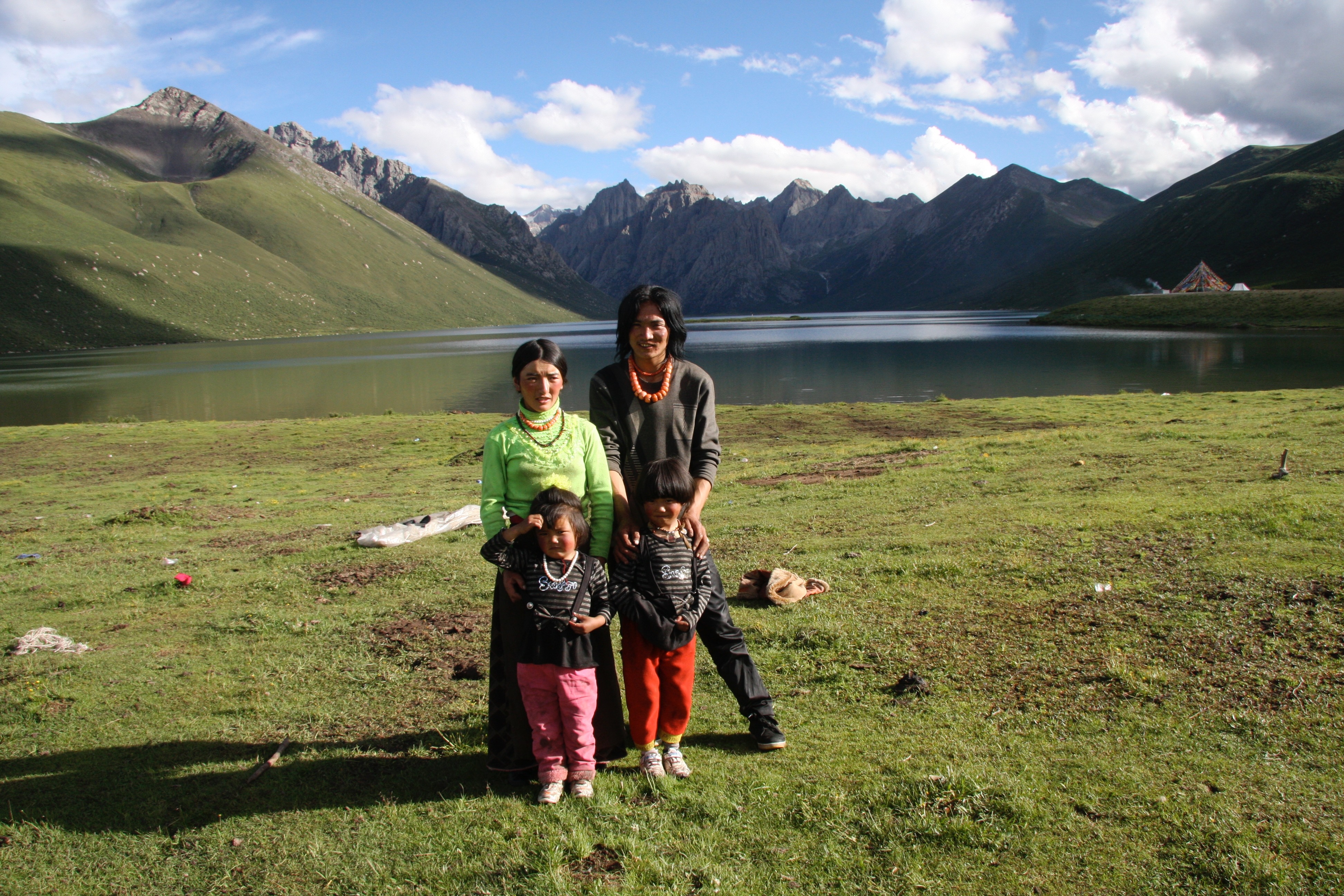
Assume, as responders must, that some villages in the severe-shaking zone took real damage. Reaching them is a logistics problem stacked on a physiology problem. The physiology: at 4,800 metres the air holds roughly half the oxygen of sea level. Unacclimatised rescue teams flown or driven in from lower elevations lose work capacity immediately and risk altitude sickness in the first 48 hours — exactly the window that matters most for trapped-survivor rescue. Local responders — county officials, township cadres, PLA garrisons and Armed Police units stationed on the plateau — are acclimatised, which is why China's plateau disaster doctrine leans so heavily on them in the first day.
The logistics: distances on the northern plateau are European in scale. Nagqu city is 183-plus kilometres from the epicentre over high roads; the G317 highway, which passes through Baqên County, is both the obvious supply artery and, per the USGS's Orange landslide alert, a corridor at risk of rockfall blockage — the failure mode that has repeatedly slowed plateau relief convoys in past earthquakes. The Qinghai–Tibet railway offers a second artery if its bridges and tunnels through the region are cleared for traffic. And over everything hangs the October night: temperatures in the epicentral area drop well below freezing after dark, compressing the survival window for anyone trapped under rubble and making shelter — tents, quilts, stoves — a first-night priority rather than an afterthought. Helicopter support, often decisive in Sichuan's mountain quakes, is far less capable at this altitude, where thin air cuts lift sharply.
The buildings are the weak point
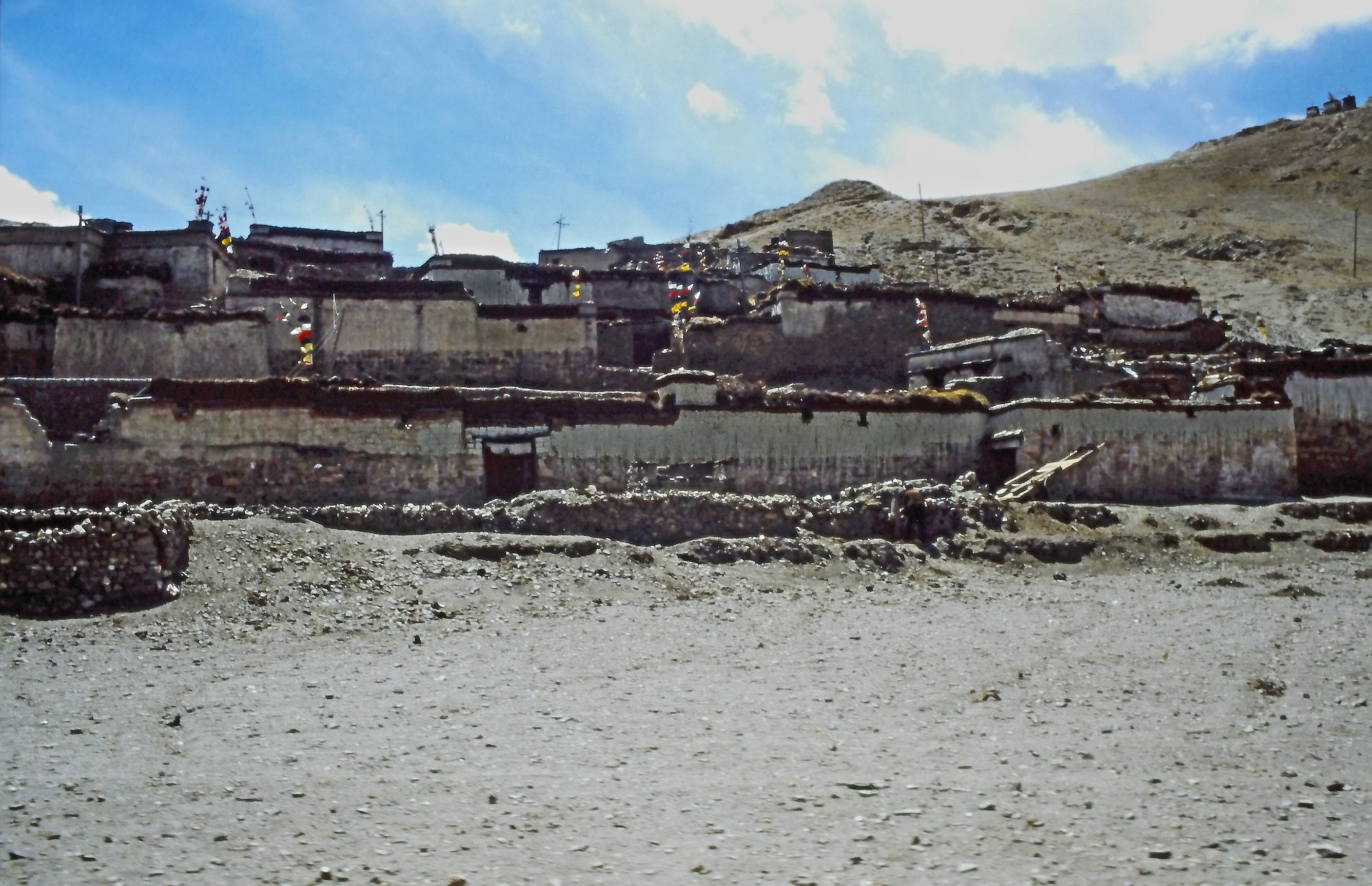
If a death toll emerges from this earthquake, the mechanism will almost certainly be the one the USGS flagged within the hour: the region's predominant construction. PAGER's building inventory for the epicentral area is dominated by adobe block and unreinforced brick laid in mud mortar — walls that carry roofs well enough in still air but have almost no resistance to lateral shaking. At MMI VIII, such walls crack, shed their mud mortar and can collapse outward or drop their roofs in seconds, at night, onto sleeping families. Stone-and-timber traditional houses fare somewhat better; modern reinforced-concrete public buildings — schools, clinics, government offices built since China's post-2008 construction-code tightening — better still.
This building question is why two magnitude 7 earthquakes in the same province can produce a toll of thousands or a toll of nearly none. In Yushu in 2010, the rupture struck beneath a town of earthen buildings and at least 2,698 people died. Thursday's rupture struck beneath grassland. The confirmed population in the severe-shaking zones is in the low thousands — but they are, disproportionately, the people in the most fragile houses in the footprint. The casualty question for Nagqu is therefore not really about how many people were shaken. It is about how many adobe walls stood inside the MMI VII–VIII contour, and whether they are still standing.
Aftershock risk: the hazard that continues
The magnitude 5.2 shock 40 minutes after the main event was the sequence announcing itself. The USGS states plainly that aftershocks may follow this earthquake, some potentially with strong shaking. For a normal-faulting magnitude 7.0, seismologists expect the aftershock sequence to run for weeks, with the largest aftershocks typically a magnitude unit or more below the main shock — meaning events in the 5s, and plausibly the low 6s, are possible near the rupture. Each one is a fresh test of every wall the main shock cracked. The operational consequences are concrete: residents will be told to sleep outside damaged buildings or in tents despite the cold; rescuers will work in short rotations beside unstable walls; and damage assessors will have to re-survey after any strong aftershock. Readers with family in Nagqu prefecture should expect official aftershock advisories from CENC and treat any strong shaking as a reason to stay clear of damaged structures, not to re-enter them.
What happens in the next 48 hours
The sequence from here is well rehearsed. First, activation: China's earthquake emergency response system grades its response by magnitude and expected impact, and a magnitude 7.0 — the country's strongest since January 2024 — sits high in that system; expect a national-level working group and a Tibet regional headquarters if early reports show significant damage. Second, accounting: township-by-township damage and casualty reports compiled by daylight on Friday, flowing to Xinhua and CENC updates — the first confirmed casualty figure, if there is one, will arrive through this channel. Third, the arteries: engineering inspections of the Qinghai–Tibet railway and the G317/G109 corridors, with rockfall clearance where needed. Fourth, the instruments again: the USGS and CENC will refine the finite-fault model, and the aftershock map will begin to trace the rupture's true outline. The figures to watch, in order: any official casualty statement; the count of houses reported collapsed in Baqên and neighbouring counties; the response level Beijing assigns; and the largest aftershock magnitude.
Why this matters
There is a version of this story that writes itself by Friday morning — either the relief that a great earthquake found almost no one, or the grief that it found the few it could hurt most. Both versions are already latent in Thursday night's data. What this page exists to resist is the third version: the one assembled from rumour, recycled footage and modelled numbers presented as counts. A Yellow PAGER alert is a probability, not a toll. "No reports of casualties" is a statement about reporting, not about casualties. The distance between those sentences is where disaster journalism earns its keep, and it is why Signal Post News will update this account only from named official and instrument sources — the same discipline we applied to our main report on the earthquake. For the geology that made this inevitable, read why Tibet has earthquakes; for what to do when the ground moves, our earthquake and tsunami safety explainer from the Panama earthquake remains the reference.
Sources
Reuters, "Earthquake of magnitude 7 strikes China's Tibet" (Oct 22, 2026) — wdsm710.com; CNN, "Strong 7-magnitude earthquake strikes China's Tibet region" (Oct 22, 2026) — cnn.com; U.S. Geological Survey, event us6000u43g — origin, ShakeMap, PAGER and ground-failure (landslide) products, and Key Points updated Oct 22, 16:52 UTC — earthquake.usgs.gov; The Watchers, "Strong and shallow M7.0 earthquake hits Xizang-Qinghai border region, China" (Oct 22, 2026), for population-exposure estimates and building types — watchers.news; The Weather Channel (Oct 22, 2026), for the magnitude 5.2 aftershock — weather.com.