Laguna Beach flooding October 2026
A rare collision of distant hurricane swell, king tides and elevated sea levels put water across PCH in downtown Laguna Beach — and forecasters say the highest-risk period may still be ahead.
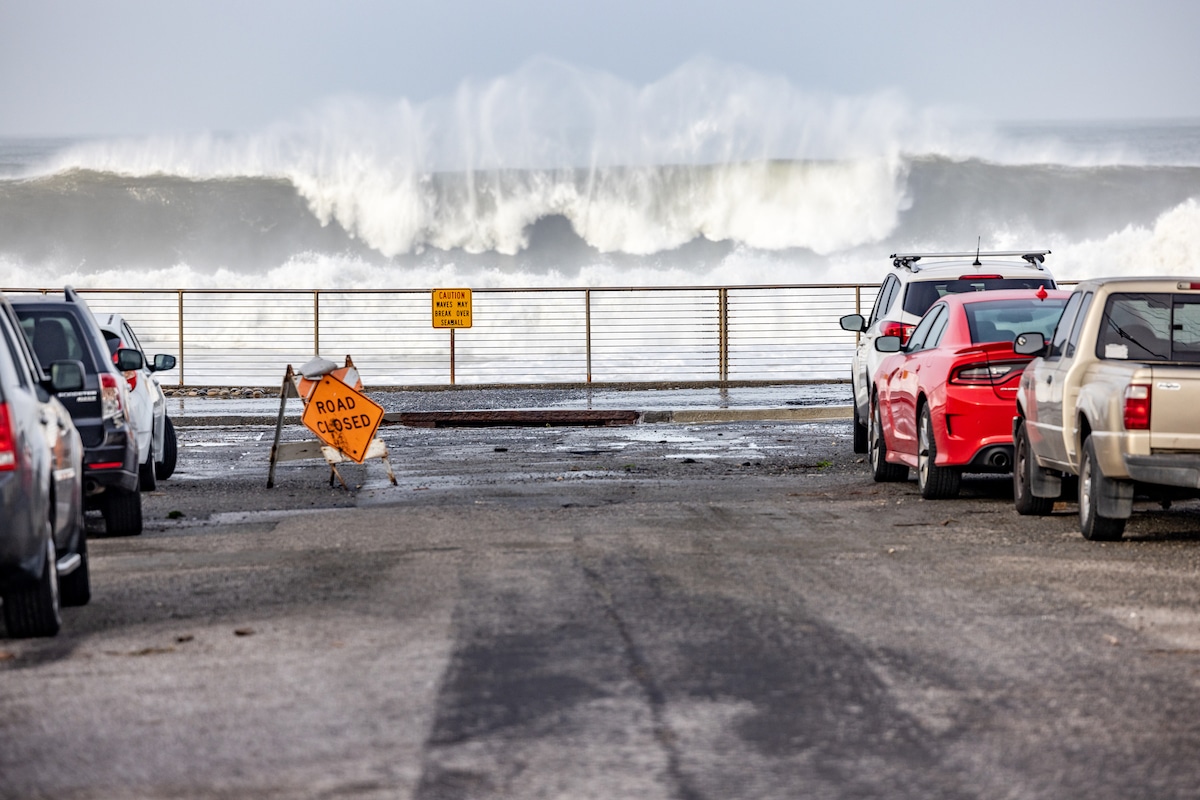
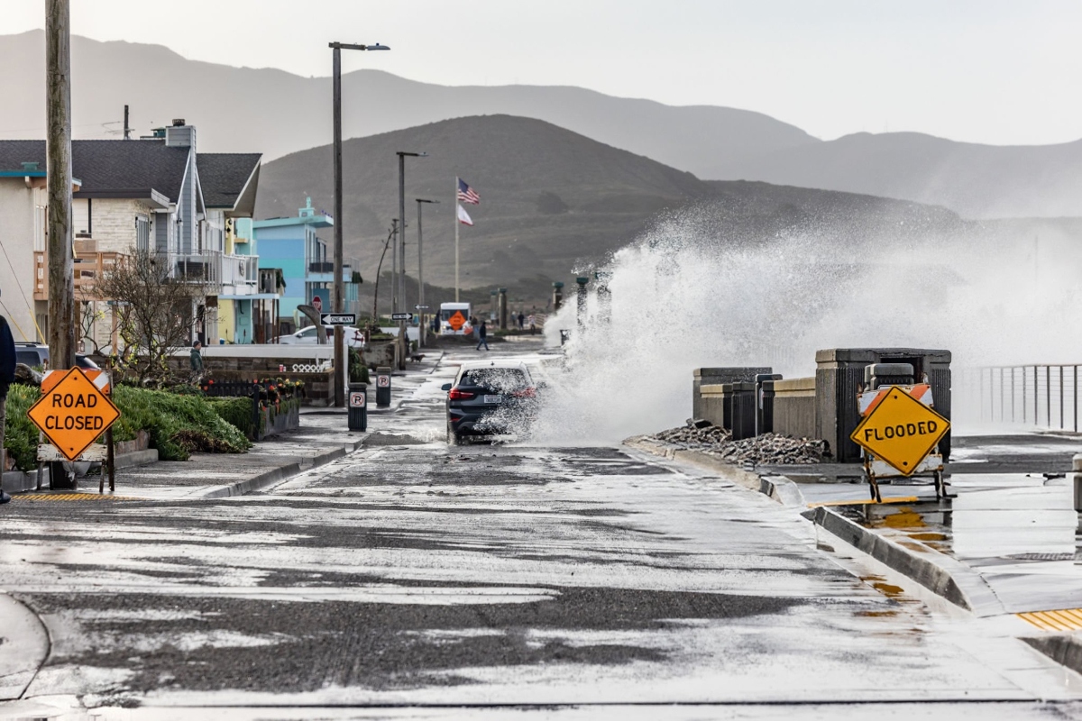
Pacific Coast Highway at Broadway in downtown Laguna Beach was under water Thursday morning, October 8, 2026, as a rare convergence of Hurricane Rachel swells, roughly 7-foot high tides and elevated sea levels pushed the ocean over one of Orange County's most iconic roadways. Eyewitness video timestamped 9:12 a.m. showed seawater covering PCH at Broadway, with traffic crawling through standing water.
The National Weather Service has coastal flood advisories in effect for Orange County coastal areas — along with Los Angeles, Ventura and San Diego counties — through Tuesday afternoon. Unlike a conventional storm surge driven by nearby winds, this episode is being built from multiple layers of water and wave energy arriving at the coast together.
Why this matters — A rare triple convergence
Three forces are arriving at once. The first is a train of long-period southerly swells generated by Rachel, with 16- to 18-second periods and breaking waves of 6 to 10 feet on south-facing beaches, with some sets higher. The second is an astronomical tide cycle running 6.5 to 7 feet through Thursday. The third is a Kelvin wave raising background sea levels along the coast.
Any one of those forces is usually manageable. Together, they lift the total water level past the tipping point where large sets can overtop seawalls, run through beach access points and flood low-lying coastal roads. That compound effect is why a seemingly modest change in tide or swell height can separate nuisance flooding from water across a highway.
The direction of the swell adds another hazard. National Weather Service meteorologist Rose Schoenfeld told the Palm Springs Desert Sun that southerly swells from tropical systems “can be more impactful” than the west and northwest swells Southern California typically receives. Beaches oriented south — some of which rarely absorb this much direct energy — are taking the brunt, while the angle of approach intensifies rip and longshore currents.
What's happening right now
- Coastal Flood Advisories: National Weather Service advisories cover Orange County coastal areas, Los Angeles County beaches, Ventura County beaches, the Malibu coast, Catalina and Santa Barbara Islands, and San Diego County coastal areas through Tuesday afternoon, according to the NWS via the Associated Press.
- Laguna Beach: Pacific Coast Highway at Broadway flooded Thursday morning. Video from @lagunabeach.unfiltered, timestamped 9:12 a.m., showed water over the roadway in the center of downtown.
- Long Beach: City officials identified the Alamitos Peninsula and Alamitos Bay as especially vulnerable to flooding, erosion and localized damage. Long Beach opened four additional sandbag sites Thursday at Fire Stations 7, 12, 13 and 14, alongside the Claremont Beach lot. Residents can collect up to 10 bags with identification through Tuesday.
- Life-threatening surf and rip currents: The NWS warns of dangerous swimming conditions, and officials are urging beachgoers to stay out of the water.
- Beach erosion: Elevated water levels are allowing each breaking wave to reach farther inland, accelerating the loss of sand along exposed stretches.
The science — Hurricane Rachel, 800 miles away, is doing this
As of October 7, the National Hurricane Center placed Rachel roughly 800 miles west of the southern tip of Baja California, with sustained winds near 80 mph. There were no coastal watches or warnings for any United States landmass. The cold California Current and upper-level wind shear were expected to weaken the system well south of the border. What is reaching California now is not Rachel's wind or rain; it is the storm's swell energy.
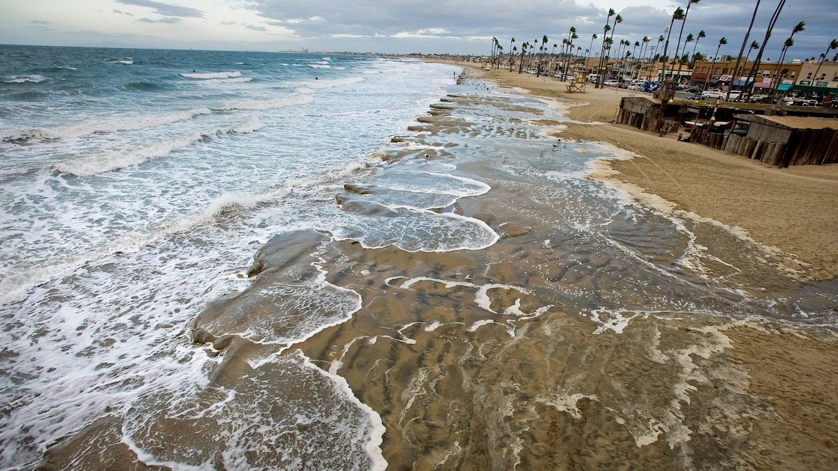
Rachel slowed to roughly 8 knots, allowing it to work as a sustained wave generator over the eastern Pacific. Long-period swells, with 16 to 18 seconds between crests, carry substantial energy and can travel thousands of miles with relatively little decay. As those waves enter shallower water, they slow, steepen and break — concentrating distant storm energy at the shoreline.
Morning and evening high tides were forecast between 6.5 and 7 feet through Thursday. The NWS said Sunday's morning high tide could reach about 7.5 feet, potentially creating the greatest coastal flooding risk of the event. Surf on south-facing beaches was forecast at 3 to 6 feet Thursday and Friday before building toward the weekend. Some forecasters warned of 10- to 12-foot waves, with isolated sets to 15 feet from San Luis Obispo to Ensenada as Rachel's energy interacts with a powerful low-pressure system offshore.
What officials are saying
Schoenfeld told the Desert Sun that surf would increase as the tropical system approached. The combination of elevated tides and rising surf, she said, “is really going to increase the risk of coastal flooding and beach erosion,” while producing “terrible” swimming conditions through strong rip and longshore currents.
Officials are urging residents to identify their city or county emergency management agency, follow local instructions, know where sandbags are available if they live in a flood-prone area, and keep monitoring the forecast. Rachel's exact track will determine how the impacts evolve, especially for beachfront property owners. Long Beach has specifically asked residents in low-lying areas to prepare before the weekend.
What it means for Orange County residents
Drivers should avoid flooded stretches of PCH. Even shallow seawater can hide pavement damage or debris, and saltwater can damage a vehicle's electronics, brakes and underbody. Traffic delays are likely around Laguna Beach and other low-lying coastal roads when high tides and large sets coincide.
Beachgoers should stay out of the ocean during the advisory. Rip currents generated by southerly swells can pull even experienced swimmers away from shore, and the unusual angle makes the water especially difficult to read. Beachfront property owners should secure temporary barriers, move valuables above expected flood levels and be prepared for wave overtopping.
The timing also creates a sharp public-safety swing. Southern California is coming off triple-digit record heat and moving directly into tropical moisture and coastal flooding. Residents should check on elderly neighbors and others who may need help adapting to rapidly changing conditions. The transition follows the same volatile pattern examined in our coverage of the Southern California heat wave and Bouquet Fire.
What to watch next — The weekend storm
The main event may still be ahead. Rachel's remnants are expected to turn northeast and accelerate, possibly making landfall Sunday as a post-tropical system in northern Baja California or near the U.S.–Mexico border. NOAA's current forecast keeps the system at tropical-storm strength at most. Even a post-tropical arrival, however, would mark the first tropical system to reach Southern California since 1939.
From late Sunday afternoon into Monday night, rain and isolated strong-to-severe thunderstorms could develop as the offshore low tears apart Rachel's circulation and slings a concentrated plume of tropical moisture north. The threats include widespread rain, strong winds, flash and urban flooding, slick roads, and isolated debris flows near recent wildfire burn scars in Los Angeles County. Desert washes and low-water crossings are also at risk, recalling the inland flood pattern during Tropical Storm Hilary in 2023 and the wider danger seen in other recent flash-flood emergencies.
Some forecasters describe coastal flooding as “very likely” from Sunday at 11 a.m. through Wednesday at 6 p.m., with the peak risk near Sunday's morning high tide. The uncertainty remains significant: Rachel's precise track could shift rainfall totals, while a half-foot change in total water level could materially change the amount of roadway and property flooding. Residents should continue checking official NWS updates through the weekend.
Sources
- National Weather Service, via the Associated Press
- Palm Springs Desert Sun, October 7–8, 2026
- New York Post, October 8, 2026
- FOX LA, October 8, 2026
- USA Today, October 7, 2026
- Karmactive, October 7, 2026
- Eyewitness video: @lagunabeach.unfiltered via Instagram, shared through Threads, timestamped 9:12 a.m. on October 8, 2026