Breaking · Weather / World
The Category 2 strike came at about 9:30 p.m. ET before Isaias weakened to Category 1 over the Florida Panhandle, leaving outages, flooding and an inland threat in its wake.
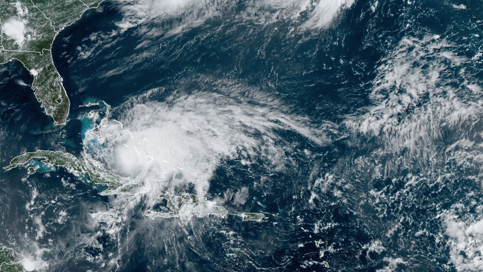
Hurricane Isaias makes landfall near Destin, Florida, at about 9:30 p.m. ET Friday with maximum sustained winds of 105 mph, turning a day of warnings into an immediate recovery challenge across the Panhandle. The Category 2 hurricane weakened to Category 1 as it pushed north over land, but its lower rating did not end the threats from flash flooding, fallen trees, tornadoes or prolonged power loss.
Track it live: Follow Hurricane Isaias on the Signal Post News hurricane tracker
The landfall capped a rapid sequence. At the 3 p.m. CT National Hurricane Center update, Isaias was still a Category 3 storm with 120-mph winds about 90 miles south of Pensacola, moving north at 17 mph. An extreme wind warning later covered the western Florida Panhandle, including Pensacola and Destin, for possible gusts above 115 mph. The warning has since expired, but the storm's consequences are only beginning to be counted.
Hurricane Isaias landfall Florida: what happened near Destin
From a Category 3 approach to a 105-mph Category 2 strike
Isaias lost some strength before the center crossed the coast, yet a 105-mph landfall is not a near miss. The storm arrived with enough force to damage roofs, topple trees and break distribution lines, while its quick northward movement carried dangerous gusts well beyond the beaches. By late Friday, the storm was still a Category 1 hurricane moving over the Florida Panhandle and pushing north.
The last hours before landfall showed why a forecast category should be read as a changing measurement, not a final verdict. Gov. Ron DeSantis said at 11 a.m. EST that Isaias was a Category 3 hurricane with 120-mph winds and urged residents to finalize plans. He later spoke at a Pensacola briefing and said state resources were ready. Tyndall Air Force Base closed all services except dining and lodging, with gates closing at 5:30 p.m. CT. Earlier, a tornado warning covered Eastpoint, Apalachicola and Creels until 3:45 p.m. ET.
Forecasters had warned that surge could reach 9 feet and rainfall 15 inches in the hardest-hit pockets. Alabama, Florida and Georgia declared states of emergency. Those preparations were not rendered unnecessary when the wind speed fell; surge, rain and embedded tornadoes operate on different scales from the Saffir-Simpson wind category.
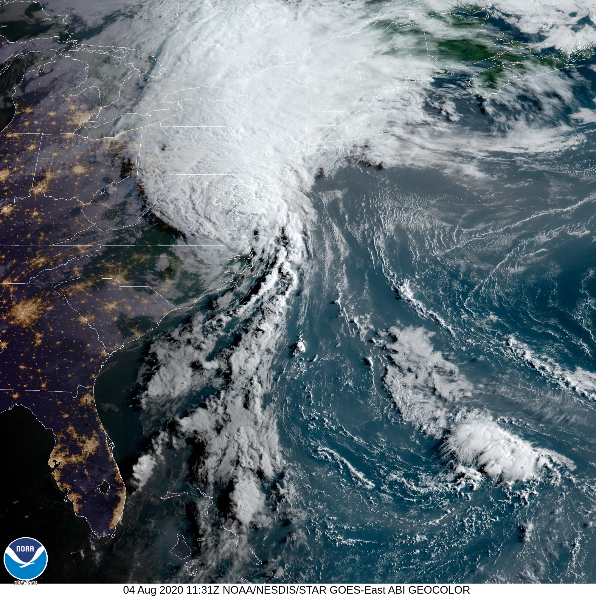
Why this matters
Florida Panhandle hurricane power outages expose the recovery test
In Tallahassee and the Big Bend, roughly 25,000 outages were reported during the storm. Crews had already reconnected nearly 20,000 customers, leaving about 7,000 still without power around 11:20 p.m. ET. That pattern matters: a fast restoration rate suggests staging and mutual-aid plans were working in some areas, but the customers still dark may be concentrated behind blocked roads or more complex equipment damage.
Outage totals count accounts, not people. One restored account may mean a single apartment or an entire business, while one broken feeder can keep hundreds of homes offline. The first 20,000 reconnections are therefore encouraging but not proof that the hardest work is finished. The last miles of restoration are often slower, especially where crews must wait for winds to ease, trees to be removed or floodwater to recede.
The rain problem was also uneven. A feeder band described locally as a “Band of Deluge” dropped about 4 inches over Madison and Taylor counties. That is a reminder that communities far from the eye can face the more persistent hazard. Wind damage is immediate and visible; saturated ground, washed-out roads and rising rivers can keep worsening after the hurricane designation disappears.
Inside the eye: what the Saildrone measurements reveal
Waves, wind and a storm observed where people could not safely go
Saildrone SD-1045 traveled through the eye about 172 miles south of Pensacola, recording winds above 103 mph and significant wave heights around 33 feet. Saildrone said gusts exceeded 90 knots, or 103 mph, and individual waves reached as high as 20 meters, about 65 feet. A second craft, SD-1057, sampled the eastern edge about 195 miles west of Sarasota, where winds exceeded 57 mph and waves topped 22 feet.
Those readings fill a gap between satellite estimates and coastal observations. A robotic vessel does not replace aircraft reconnaissance or buoys, but it can remain in seas too dangerous for crewed ships and help scientists compare the storm's measured ocean surface with forecast models. The contrast between SD-1045 in the eye and SD-1057 on the eastern edge also shows how sharply conditions can vary across one hurricane.
Watch the Saildrone SD-1045 eye-interception video. Video: Saildrone/NOAA
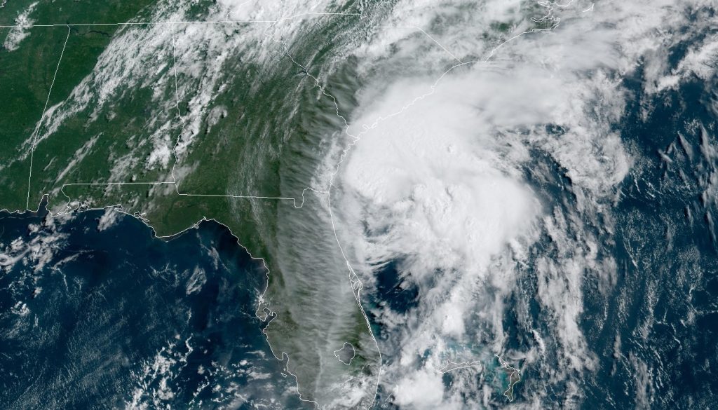
Hurricane Isaias oil production shutdown: reading the 1.3 million-barrel figure
Large operational disruption does not automatically mean a lasting fuel-price shock
Gulf operators shut in about 1.3 million barrels per day of oil production, 63% of the region's output, along with 1,127 million cubic feet per day of natural gas, or 57%. Personnel were evacuated from 121 production platforms, roughly one-third of the manned platforms, according to the U.S. Marine Minerals Administration figures cited by USA Today.
The oil number is large enough to matter to refiners and traders: every full day offline defers production equal to a substantial share of normal Gulf output. But “shut in” means temporarily halted, not destroyed. The market impact depends less on the headline percentage than on how quickly inspections clear platforms, pipelines and ports to restart. If damage is limited, deferred barrels can return quickly; if subsea systems, terminals or electricity supplies are impaired, the disruption can persist.
The immediate beneficiaries are workers removed from exposed platforms and operators that avoid putting crews in harm's way. The immediate losers are producers, contractors and coastal businesses whose revenue pauses with operations. Consumers could feel pressure if the outage lingers, but critics of instant pump-price predictions have a point: crude inventories, refinery capacity, shipping and the duration of the shutdown all matter. A single production statistic is a warning signal, not a retail-price forecast.
How we got here: Milton, Dennis and a long Panhandle memory
The first U.S. hurricane landfall since Milton meets the first major hurricane of 2026
Isaias became the season's first major hurricane before landfall and the first hurricane to strike the United States since Hurricane Milton. The comparison is important but should not be forced: Milton and Isaias followed different tracks and exposed different communities. The useful parallel is institutional. Emergency managers, utilities, insurers and households are again being tested on evacuation, communications, grid resilience and the speed of recovery.
For Pensacola, the historical echo reaches back further. The region had not faced a major-hurricane landfall in more than 20 years, since Hurricane Dennis in 2005. Two decades of population change and coastal development mean experience is uneven: some residents remember Dennis directly, while many businesses and households have never worked through a storm of this intensity.
That gap helps explain the debate around category labels. Some officials welcome the clarity of a familiar scale; critics argue that category-focused coverage can understate water, rainfall and tornado threats. Both perspectives contain something useful. Wind categories help communicate structural risk, but Isaias weakened after landfall while retaining the ability to flood roads, cut power and spawn dangerous weather far inland.
Friday's outcome also updates the site's pre-landfall Category 3 forecast and follows Okaloosa County's mandatory evacuation order. For broader context, the earlier Gulf Coast outlook shows how the forecast evolved before the center arrived.
Hurricane Isaias path toward Atlanta and the weekend outlook
The threat shifts inland from surge to rain, wind and falling trees
Isaias is tracking north toward Atlanta, where forecasts called for as much as 8 inches of rain in the region, and was expected to weaken to a tropical storm by Saturday afternoon. The lower wind classification will be welcome, but it may come as rain spreads into places where terrain, drainage and tree cover create different vulnerabilities from the coast.
For residents, the practical sequence is straightforward: heed local warnings, avoid flooded roads, keep generators outside and away from openings, and give utility crews room to work. For officials, the overnight challenge is to maintain communications while identifying the neighborhoods where water or debris blocks access. Daylight assessments will clarify whether the quick early reconnections in the Big Bend can be repeated across harder-hit areas.
Recovery will have several clocks. Emergency response is measured in hours; power restoration and debris clearance in days; insurance claims, business interruption and housing repairs in weeks or months. The public verdict should not be based on a falling category number or a single overnight outage snapshot. It should be based on whether people stay safe, whether essential services return equitably and whether rebuilding reduces the next storm's risk.
Sources
- Pensacola News Journal live updates, October 9
- Tallahassee Democrat live updates, October 9
- USA Today live coverage, October 9
- Fox Weather live coverage, October 9
- The Weather Channel forecast and warnings, October 9
- New York Post storm report, October 9
- Saildrone/NOAA eye-interception video
This report is a snapshot of conditions late October 9, 2026. Official warnings, outage totals and damage assessments may change overnight.