Isaias evacuation order
All out-of-town visitors must leave the Florida Panhandle coast by 8 p.m. Wednesday; residents in coastal Zones A and B face a mandatory order at noon Thursday, as the season's first hurricane targets a Friday landfall with up to 7 feet of storm surge.
The Isaias evacuation order became mandatory in Okaloosa County on Wednesday night, October 7, for residents of coastal Zones A and B, effective at 12 p.m. Thursday, October 8. County officials also directed every out-of-town visitor in the forecast impact area to leave by 8 p.m. Wednesday. The order arrived as Tropical Storm Isaias strengthened over the Gulf of Mexico toward a Friday landfall, increasingly likely to become the Atlantic season's first hurricane. The clock now matters as much as the forecast: authorities are trying to clear exposed roads and barrier islands before squalls, rising water and late departures collide.
What the Isaias evacuation order covers
Okaloosa County mandatory evacuation reaches coastal Zones A and B
The Zones A and B evacuation covers Okaloosa Island and portions of coastal Fort Walton Beach, coastal Destin, coastal Mary Esther and Niceville. Visitors were told to be out by 8 p.m. Wednesday; residents covered by the order must leave by noon Thursday. In a short warning, the county said, “Do not wait until the last moment.” That sentence captures the operational logic behind the timetable: moving visitors first reduces traffic before residents begin their own departures, while the noon cutoff leaves daylight to correct a missed turn, a fuel problem or an overloaded route.
Residents can check an address through the county GIS by entering myokaloosa.com/gis_ps in a browser, or use Florida's statewide zone-lookup map at floridadisaster.maps.arcgis.com/apps/instant/lookup/index.html?appid=aa18a2d8737c4d66bb6434a09e17203a. Evacuation zones are not the same as routine flood zones; they are designed around storm-surge exposure and local evacuation planning. Anyone near a zone boundary should verify an exact address rather than decide from memory or a neighborhood name.
Okaloosa County shelters open Thursday evening
Two Okaloosa County shelters are scheduled to open at 6 p.m. Thursday, October 8. Davidson Middle School, 6261 Old Bethel Road in Crestview, will accept the general population, people with special needs and pets. Special-needs residents must pre-register. The second site is the Raider Arena at Northwest Florida State College, 100 E. College Boulevard in Niceville. County guidance encourages evacuees who can safely stay with friends or relatives outside the evacuation area to do so, preserving shelter capacity for people without another workable option.
Isaias is getting stronger, faster
Tropical Storm Isaias Florida landfall window narrows
By Wednesday evening, Isaias carried sustained winds of 65 mph and was roughly 500 miles southwest of far southeastern Louisiana. Forecasters expected rapid intensification — an increase of at least 35 mph in 24 hours — as the circulation moved over warm Gulf water. The official outlook allowed for an Isaias Category 2 hurricane peaking near 110 mph by early Friday, followed by some weakening before a Friday-night or early-Saturday landfall.
The forecast corridor had tightened from the Mississippi coast to the western Florida Panhandle, and a hurricane watch was in effect. That narrowing is useful for planning, but it is not a promise about a single landfall point. Wind, rain and surge are expected to reach the coast beginning Friday and extend well outside the cone, especially east of the center, where the storm's forward motion adds to its rotating winds and pushes the deepest water toward shore.
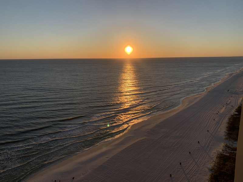
Seven feet of water: the surge threat
Isaias storm surge forecast, coast by coast
The surge forecast is blunt: 5 to 7 feet from Ocean Springs, Mississippi, to Indian Pass, Florida; 5 to 7 feet in Mobile Bay; 4 to 6 feet from Indian Pass to the Steinhatchee River; 3 to 5 feet from the mouth of the Mississippi River to Ocean Springs; 2 to 4 feet from Steinhatchee to Yankeetown; 1 to 3 feet from Yankeetown to Egmont Key; 1 to 3 feet in Lake Pontchartrain; and 1 to 2 feet from Morgan City to the mouth of the Mississippi River.
Those numbers describe water above normally dry ground if the peak surge arrives with high tide. They do not count waves riding on top. A king tide can raise the starting point, so every additional foot means water can travel farther through streets, parking lots and ground floors. On a low barrier island, 5 to 7 feet is not an abstract contour. It can cover access roads, enter elevated beachfront businesses from below, move vehicles, damage utilities and cut off people who waited for visible proof before leaving.
Why this matters
The 2026 Atlantic season has set a record-long wait for its first hurricane, but a quiet count does not make the first landfall gentle. It may instead make the warning harder to absorb: months of watching storms fail to organize can dull urgency just when a Gulf system finds favorable conditions close to land.
The most valuable asset in the forecast is lead time. Orders issued Wednesday provide more than 48 hours before the expected landfall window, enough to stagger traffic, move medically vulnerable residents and let hotels unwind a tourism footprint that stretches across Destin and Fort Walton Beach. That advantage disappears quickly. Thursday is the decision day; Friday morning is too late to begin a Florida Panhandle hurricane evacuation from the most exposed coast.
Forecasters are also cautioning against false precision. A modest east or west wobble can move the highest surge and strongest winds far from the center line shown on a phone screen. The cone describes uncertainty about the center, not the boundary of danger. Evacuation decisions therefore have to be based on zones and official orders, not whether one model line crosses a particular street.
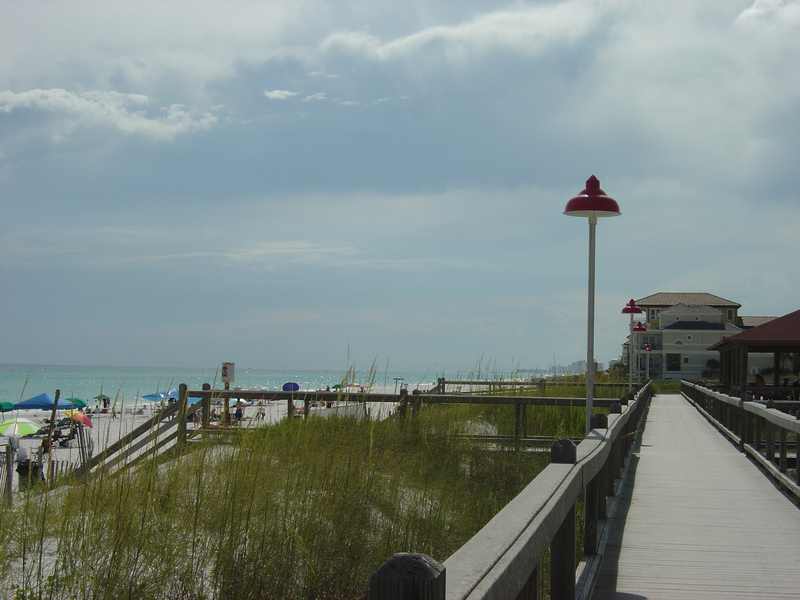
The wider Panhandle mobilization
State emergency order and Gulf County evacuation order expand the response
Florida Governor Ron DeSantis signed a 25-county state of emergency on Tuesday, October 6, covering Baker, Bay, Calhoun, Columbia, Dixie, Escambia, Franklin, Gadsden, Gilchrist, Gulf, Hamilton, Holmes, Jackson, Jefferson, Lafayette, Leon, Liberty, Madison, Okaloosa, Santa Rosa, Suwannee, Taylor, Walton, Wakulla and Washington counties. State teams are staging generators, fuel, food, water and flood barriers in the Tallahassee and Santa Rosa areas so equipment can move before roads become unreliable.
Gulf County separately ordered RVs out of three parks and campgrounds because recreational vehicles offer little protection from wind and rising water. Tyndall Air Force Base relocated aircraft to MacDill Air Force Base, with officials warning Tampa Bay residents to expect elevated aircraft noise. Across the state line, Gulf Shores canceled the Annual National Shrimp Festival, while Orange Beach, Alabama, said it could declare an emergency as early as Thursday. These decisions are different pieces of the same strategy: move people and expensive assets before conditions narrow the options.
Who bears the brunt, and what critics caution
Coastal residents carry the direct risk to life and property. Barrier-island businesses face a second injury: lost revenue before the storm and repair costs after it. Tourists must cut vacations short, find fuel and lodging inland, and navigate roads they may not know. Insurers are watching the season's first landfall for a first test of exposure after another year of high premiums and constrained capacity.
There is a legitimate tension in every evacuation call. Broad or repeated warnings that do not produce a direct hit can encourage complacency next time. But under-warning a surge zone can trap people behind water that arrives before the eye. The responsible distinction is between reported fact and forecast uncertainty: the order, shelter times and zones are fixed facts; the exact landfall point and intensity are forecasts that can change. Uncertainty is a reason to preserve options, not an argument for delay.
What happens next
East or west wobble will shift the bullseye
An eastward wobble would focus more of the worst surge and wind on the western Florida Panhandle; a westward shift would increase the threat toward Alabama and Mississippi while still leaving Florida in the broad hazard field. Thursday morning's advisory will be important for whether the hurricane watch becomes a warning, which would mean hurricane conditions are expected rather than merely possible.
Beyond the coast, a slower forward motion would raise the inland-flooding threat. Rain bands can also produce tornadoes with little notice, while saturated soil makes trees easier to topple even where wind stays below hurricane strength. The practical checklist is short because the remaining window is short: fuel vehicles, gather identification and insurance documents, pack medications, water and food for at least three days, charge devices, verify your zone and choose a route tonight. The Destin evacuation order and the broader Zones A and B evacuation are deadlines, not suggestions to begin planning after noon.