The UAE oil spill beaches closed story widened again on Monday. Satellite images from the European Union’s Copernicus network, dated October 24, show the slick from a damaged tanker spreading at sea and pushing dark layers of oil close to the shores of Umm Al Quwain, Reuters reported — a week after the leak was first spotted from space and three days after the UAE confirmed oil was reaching its northern beaches. Beaches are now shut in three emirates, fishermen have been told to stay out of the water, and the environmental cost of the tanker war in the Gulf is no longer an abstraction measured in freight rates. It is washing ashore.
Track it live: the wars tracker — this spill began with a strike on a tanker in the Gulf shipping war.
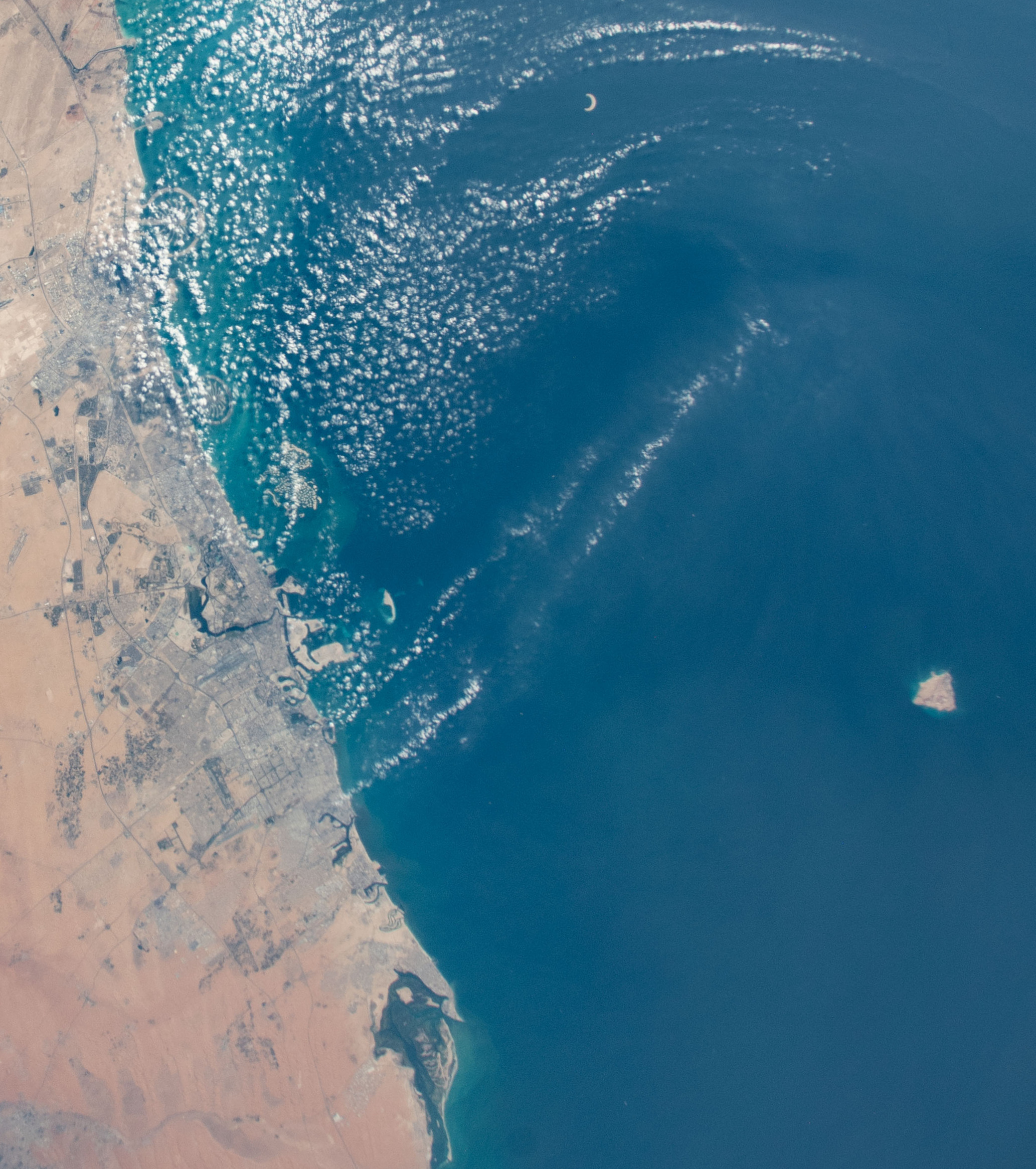
What the satellites showed on Monday
Reuters’ Monday report is built on Copernicus Sentinel-2 imagery dated Saturday, October 24: the spill has widened over the preceding days, with dark layers of oil spreading across the water and along the coastline near Umm Al Quwain, the northern emirate about 35 miles from Dubai. That is a measurable step beyond where the story stood on Friday, when the slick was an offshore problem with oil confirmed on beaches. The plume is now visibly organising itself along the shore it has been drifting toward all week.
Nidal Hilal, professor of engineering and director of New York University Abu Dhabi’s Water Research Center, told Reuters the spill is a serious environmental concern and called the beach closures a prudent precaution while the extent and movement of the oil are assessed. The caution is the point: a week into the incident, no authority has published how much oil has escaped, and the UAE’s Ministry of Climate Change and Environment has not named the vessel involved or said what caused the leak.
How the spill unfolded: a strike, a silent week, then a slick
The timeline matters, because the spill’s most striking feature is how long it took to become visible. On October 9, a Panama-flagged crude tanker was struck by an unidentified projectile roughly 13 nautical miles off Ras Al Khaimah, shipping sources told Reuters; a fire on board was later extinguished, and India’s consulate in Dubai confirmed on October 11 that all 22 Indian crew members had been rescued. No group has publicly claimed the strike in the sources verified for this article, and the UAE has not officially linked that ship to the leak.
Analysts have. BBC Verify matched the leaking vessel’s location and dimensions to the Gem No.2, a tanker of about 330 metres, and Reuters’ experts — including Martin Kelly of Orbital Risk Intelligence — reached the same identification. Satellite imagery from October 19 shows oil beginning to leak from the vessel; the maritime intelligence firm Windward flagged a slick about 25 kilometres off Umm Al Quwain the same day and warned that currents were setting it southwest toward the coast. By October 21, BBC Verify’s analysis showed the slick stretching more than 35 kilometres from the tanker, and Leon Moreland, a researcher at the UK-based Conflict and Environment Observatory, estimated it covered roughly 160 square kilometres. Verified video then showed oil reaching the shore and turning the water black along parts of the coastline — against February photographs of the same shoreline in clear turquoise water.
On Friday, October 23, the ministry confirmed what the satellites had been saying for four days: its monitoring system had detected a tanker oil spill affecting Umm Al Quwain’s beaches, containment and clean-up operations had begun, and an environmental assessment was under way. The ministry said the fuel-like odours reported by residents in Sharjah, Ajman and Umm Al Quwain posed no health risk — a statement about the smell, it should be noted, not about contact with the oil itself.
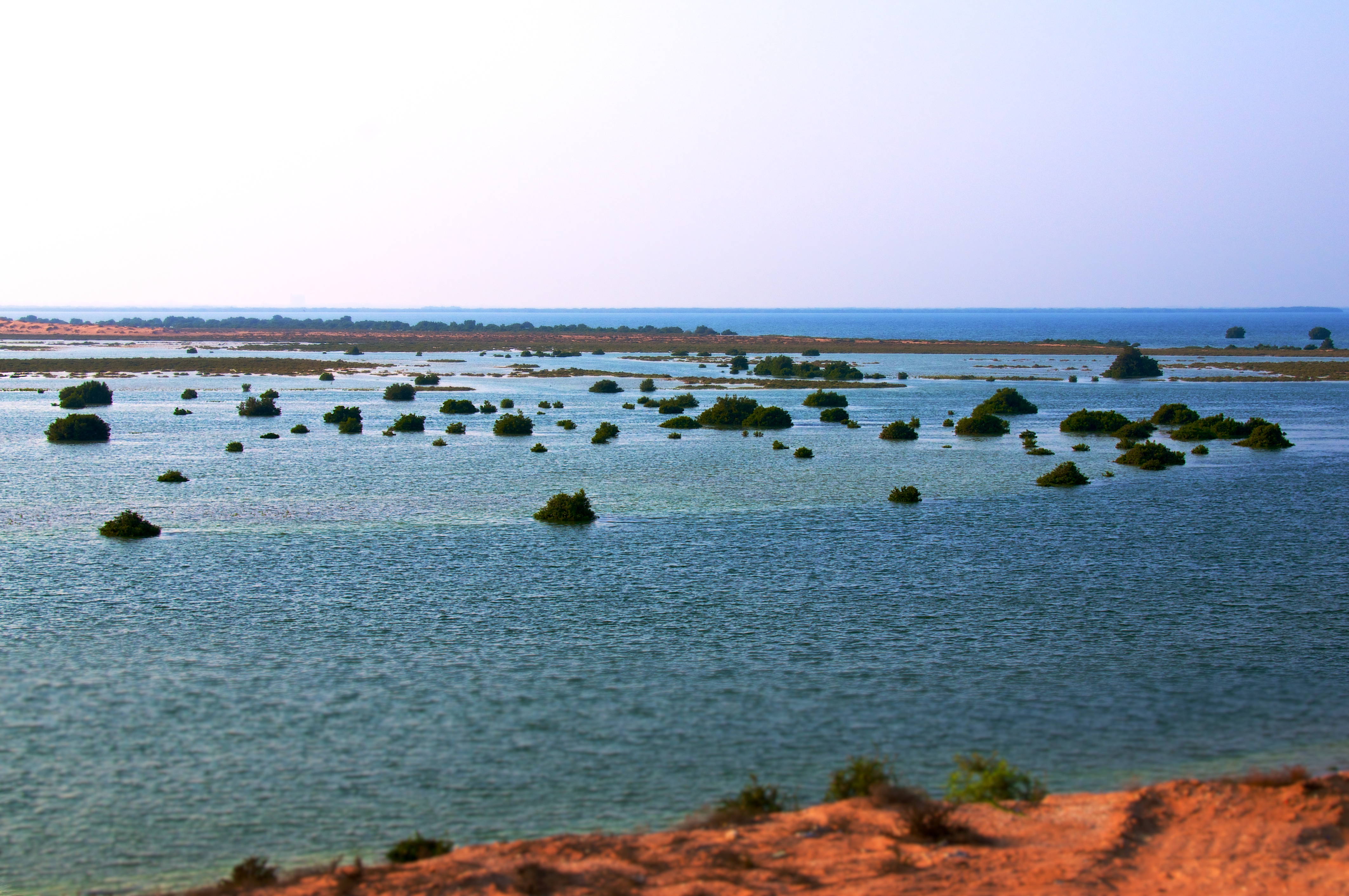
Three emirates, three closures — and no reopening date
The closures have widened with the slick. Umm Al Quwain closed all of its beaches and coastal areas until technical teams complete their assessments and determine the safety and marine-protection measures needed. Sharjah, its neighbour to the southwest, closed Al Hamriyah Beach as a precaution — one beach, not the whole emirate, despite some looser reporting elsewhere. Then on Saturday, Ras Al Khaimah — the emirate off whose coast the tanker was struck — closed all of its beaches until further notice, in an announcement from its Public Services Department shared by the emirate’s police headquarters that gave no reason.
Fishermen and other sea users have been urged across the affected coast to avoid fishing in the affected waters and to follow official instructions, and residents have been told to rely on official channels rather than rumour. No reopening date has been announced for any of the three closures. Ras Al Khaimah’s shutdown carries a particular economic sting: it is a resort emirate whose beaches anchor its tourism pitch, and it hosts Wynn Resorts’ planned casino resort on Al Marjan Island, which won the UAE’s first commercial gaming licence in 2024 and is expected to open in early 2027.
Why this matters
Start with the month this happened in. October has been the worst month for attacks on commercial shipping in the Strait of Hormuz and nearby waterways since the US–Israeli war with Iran began, according to data compiled by the Washington Institute for Near East Policy and cited by Reuters — a campaign this site has tracked through the record wave of ship attacks and incidents such as the attacks on tankers off Jubail. Until now, the costs of that campaign have mostly been counted in insurance premiums, rerouted voyages, seafarers’ lives and oil prices. The Umm Al Quwain slick is the moment the bill arrived in a different currency: a fouled coastline that no ceasefire headline can clean.
There is a structural reason this was always likely. The Gulf is a shallow, nearly enclosed sea with slow water exchange, crowded with tankers, terminals, ports — and the desalination intakes that supply most of the UAE’s drinking water. Windward’s drift modelling on October 20 warned that, if the leak was not stopped, the slick could reach the seawater intakes for desalination plants serving Sharjah and Ajman within days. That was a model, not a measurement, and there is no confirmed report that any intake has been contaminated. But the warning exposes the geography of the risk: on this coastline, a tanker casualty is never only a shipping story. It is a water story, a fisheries story and a public-health story waiting for the wind to change.
The identification gap cuts the other way, too. A week after the leak was first imaged, the responsible vessel has been named only by analysts matching satellite pictures — not by the coastal state, not by any flag registry announcement, and not by any claimant to the original strike. That vacuum is itself a finding about the tanker war: so many vessels have been hit, by so many hands, in such a short month that even a 160-square-kilometre slick can sit officially unattributed while three emirates close their beaches against it.
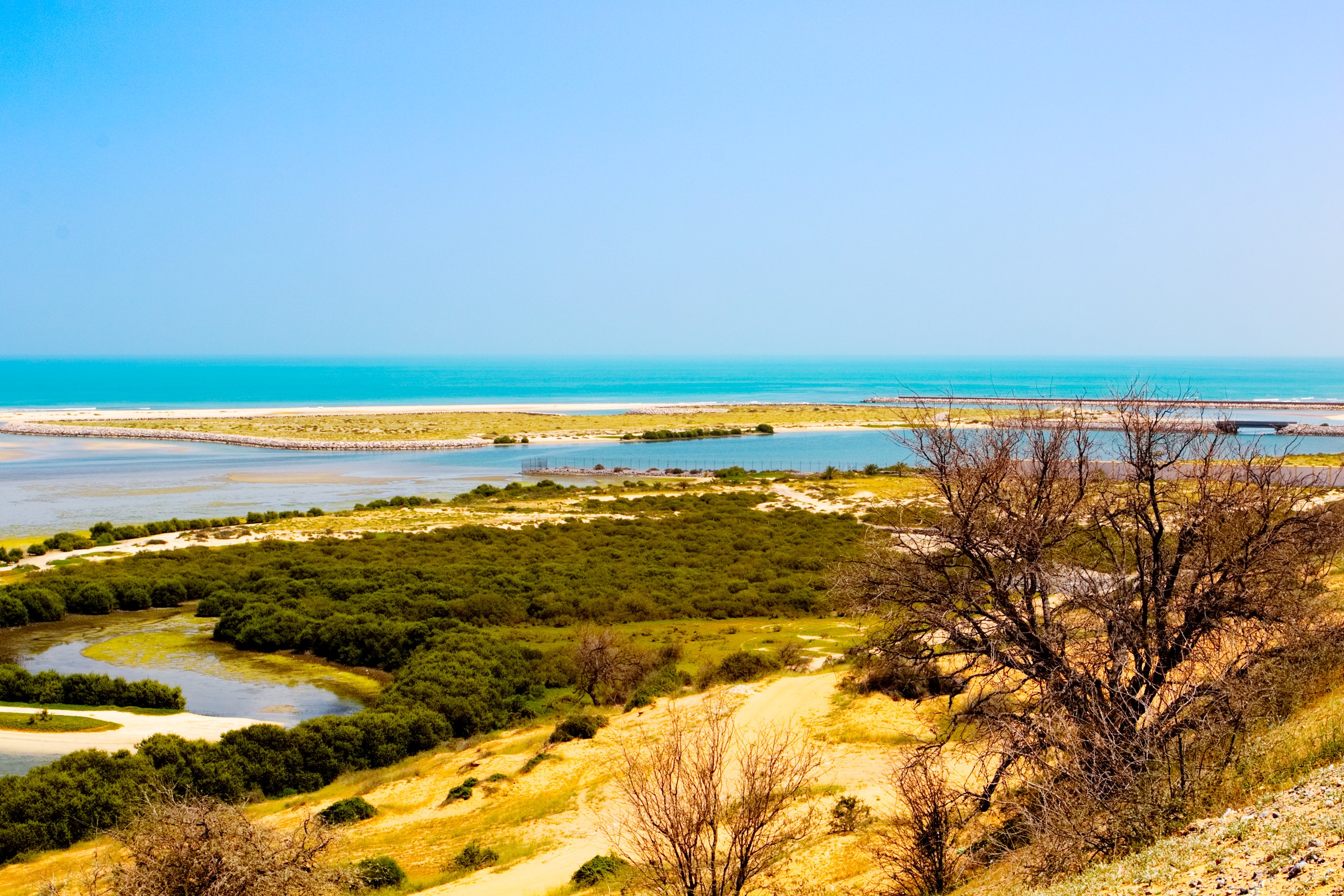
The coast that is in the way
What the oil is drifting into is not an empty shore. BBC reporting described the slick extending toward Siniyah Island and the Khor Al Beidah lagoon — a globally recognised Key Biodiversity Area of corals, seagrasses and saltmarshes — and quoted Eoghan Darbyshire of the Conflict and Environment Observatory calling the spill’s proximity to that protected area the most concerning environmental angle of the incident. The wider Gulf waters hold more than 500 species of fish, along with dolphins and marine turtles, according to the International Union for Conservation of Nature.
The mechanisms of harm are grimly well understood. Oil kills quickly — trapping turtles, smothering seabirds’ feathers, damaging fish gills — and then keeps working slowly, as toxic compounds suppress reproduction in exposed species. Professor Steve Widdicombe, director of the Sharjah Marine Science Research Centre, told the BBC an impact was inevitable, while cautioning that it was too early to assess its full extent. Specialists quoted by The National made the operational version of the same point: oil is far easier to contain at sea with floating booms than to remove from rocky shores, mangroves and seagrass beds once it lands, and residues can linger in sediments long after the visible slick is gone. Umm Al Quwain’s mangrove-lined lagoons — the nursery habitat in the photograph above — sit squarely in the hard-to-clean category.
Who carries the cost
The losers are easy to list and hard to compensate. Fishing communities across three emirates have been told to stay ashore with no end date. Beach tourism — from Umm Al Quwain’s modest shoreline economy to Ras Al Khaimah’s resort strip — is closed at the start of the northern-emirates high season, when temperatures finally fall toward the mid-20s Celsius and the beaches fill. The clean-up bill, and the monitoring bill behind it, falls on the UAE state. And the marine ecosystem’s share of the cost will be reckoned over years, in breeding seasons that do not happen.
Critics of the official response have one strong card: time. The leak was imaged on October 19 and publicly flagged by a private intelligence firm the same day; the ministry’s confirmation came on October 23. Defenders can answer, fairly, that confirming a spill’s source and extent before speaking is exactly what a technical agency should do, that containment began immediately once the spill was confirmed, and that the ministry’s odour guidance was accurate as far as it went. What neither side can dispute is the sequence the satellites recorded — four days in which the slick grew from a leak to a 35-kilometre stain while the public record was mostly smell complaints. In a sea this crowded, detection is no longer the bottleneck. Attribution and disclosure are.
What happens next
Three things will decide how this story is remembered. First, the leak itself: whether the source vessel has been fully secured, which no official statement in the verified record yet confirms in terms. Second, the assessment: the ministry’s environmental survey will eventually have to put numbers — volume, shoreline kilometres oiled, species affected — where estimates now stand, and those numbers will drive everything from fishing bans to compensation claims. Third, the precedent: October’s record attack tempo means this is unlikely to be the Gulf war’s last slick, and the response built this week — satellite-first detection, emirate-by-emirate closures, analyst-led attribution — is now the template the next one will be judged against.
For now, the beaches stay closed, the clean-up continues, and the slick’s movement can be followed in the same place as the conflict that caused it: our live wars tracker, with the market side of the tanker war on the live oil price tracker.
Sources
Reuters, “Oil spill off UAE widens, satellite images show, prompting more beach closures,” October 26, 2026 — reuters.com. Reuters, “Oil spill off UAE coast prompts beach closures, cleanup effort,” October 23, 2026, and “UAE’s Ras Al Khaimah shuts all beaches as neighbours grapple with oil spill,” October 24, 2026 — reuters.com. BBC Verify, investigation into the tanker leak and shoreline oil, October 23, 2026 — bbc.com (satellite matching to the Gem No.2, 35-kilometre slick, verified shoreline video, Key Biodiversity Area and marine-impact expert comment). UAE Ministry of Climate Change and Environment (MOCCAE), official spill statement, October 22–23, 2026 (containment, closures, odour guidance, fishing advisory). Gulf News and Khaleej Times reporting of the Ras Al Khaimah closure, October 24, 2026; The National reporting on containment and coastal clean-up difficulty, October 2026.