Tropical Storm Rachel Orange County
Weather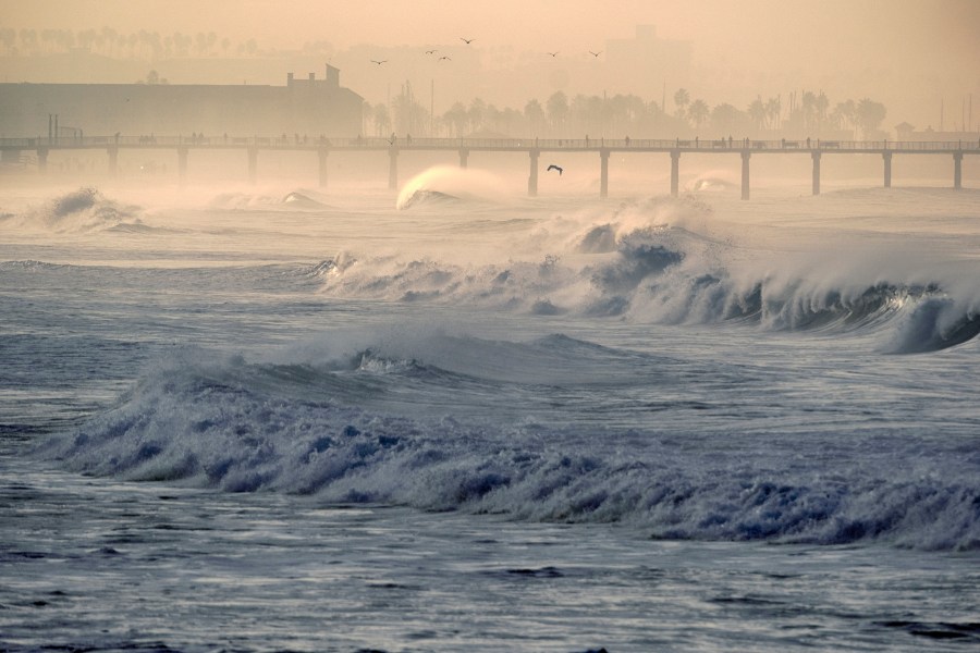
ORANGE COUNTY, Calif. — Strong, dust-laden wind swept across Orange County on Saturday afternoon as Tropical Storm Rachel edged closer to Southern California, putting the region under a tropical storm watch for the first time since Hurricane Hilary swept through in August 2023.
Track it live: follow Rachel's path, rain and coastal warnings on the live hurricane tracker.
Right now in Orange County
Residents across inland Orange County reported powerful gusts kicking up dust Saturday afternoon, with conditions in Irvine reaching 74°F and winds from the west-southwest at 10 mph gusting to 16 mph, according to weather data. Rain chances climb sharply through the afternoon, reaching 87 percent by 2 p.m., with light to moderate rain expected to begin Saturday evening.
The storm by the numbers
As of 06:00 UTC Saturday, Tropical Storm Rachel packed maximum sustained winds of 60 mph with a central pressure of 990 hPa, positioned roughly 670 miles south-southwest of San Diego and moving northeast at 12 mph, according to forecast data. Forecasters expect Rachel to approach northern Baja California or Southern California late Saturday into early Sunday before weakening rapidly as it moves inland on Sunday.
A watch three years in the making
The tropical storm watch covers the Southern California coast from the U.S.-Mexico border to the San Diego–Orange County line. It is the first tropical storm watch for the region since Hurricane Hilary in 2023 — and only the second on record for San Diego, according to the National Weather Service. Tropical systems this close to Southern California are exceptionally rare; most Eastern Pacific storms curve west, away from the coast.
Why this matters
The Weather Prediction Center has placed Southern California under a Level 3 out of 4 excessive rainfall risk for Saturday night into Sunday, extending across southern Nevada, southwestern Utah and northwestern Arizona. San Diego and Las Vegas could each see more than an inch of rain — double or triple their normal October totals.
For a region that typically sees almost no October rainfall, a single storm delivering a season's worth of rain in 24 hours raises the risk of flash flooding, particularly in burn scar areas and low-lying coastal zones.
What the wind and surf will do
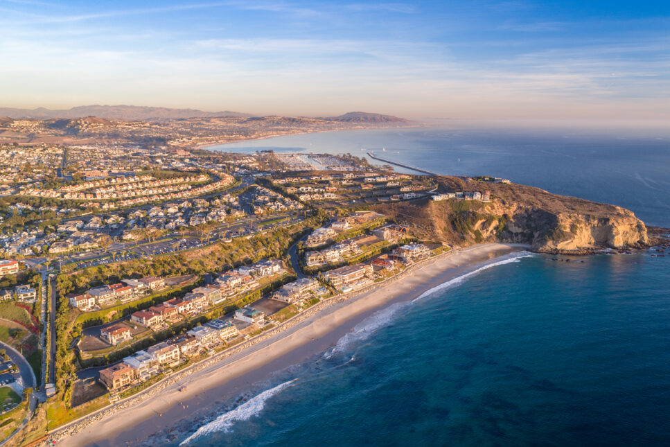
Peak gusts in the San Diego area early Sunday are forecast at 25 to 40 mph in lower elevations and 50 to 70 mph in the mountains, forecasters said. Along the Orange County and Los Angeles County beaches, a coastal flood warning remains in effect through 3 p.m. Sunday, with surf of 5 to 7 feet and occasional sets reaching 9 feet expected Sunday.
Forecasters warn damaging flooding is likely at south-facing beaches including Long Beach and Malibu, and urged beachgoers to stay out of the water.
Rain timeline
Light to moderate rain begins Saturday evening across Southern California, with the heaviest rain expected early Sunday morning through Sunday afternoon. Showers could linger into Tuesday before the pattern dries out.
Rainfall totals of 0.25 to 1 inch are expected across most of the region, with higher amounts in the mountains — especially the eastern San Gabriel Mountains — and up to 5 inches possible in some Southern California locations, according to Weather.com.
Who feels it most
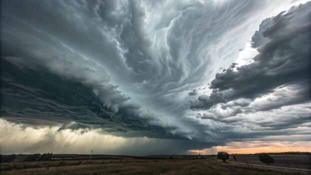
Coastal communities face the double threat of flooding surf and heavy rain. Commuters should expect slick roads and reduced visibility Saturday night through Sunday. Outdoor weekend plans across Orange County, San Diego and Los Angeles are likely disrupted.
On the other side of the ledger, the rain brings welcome relief to a region coming off dry conditions — though forecasters caution the heaviest downpours can do more harm than good in areas prone to runoff.
What happens next
Rachel weakens rapidly inland on Sunday. But the tropics are not done with California yet — another system, Simon, could bring additional rain next week, forecasters said. Looking further ahead, weak to moderate Santa Ana winds may develop Thursday and Friday as offshore flow returns, bringing a rapid warming trend with highs climbing back into the 80s.
Safety notes
The National Weather Service urged motorists not to drive through flooded roads or around barricades, and warned of steep, choppy seas hazardous to smaller vessels through the weekend. Drivers should allow more stopping distance in rain, turn around at water-covered crossings and treat downed power lines as live.
Sources
CNN; Weather.com; MyNewsLA; National Weather Service; The Watchers — all October 10, 2026.