Weather / The nor'easter that has been pounding the coast from Massachusetts to North Carolina all week got a name on Wednesday afternoon. By Wednesday night the National Hurricane Center was already forecasting Josephine to pull away on Thursday and become a powerful extratropical cyclone — which sounds like good news, until you read the hazards list: coastal flooding at every high tide through the rest of the week, gale-force gusts on the Northeast coast, and life-threatening surf from Florida to Atlantic Canada.
Subtropical Storm Josephine is the 10th named storm of the 2026 Atlantic hurricane season, and it earned the name without ever threatening a landfall. The National Hurricane Center issued its first advisory at 5 p.m. AST on Wednesday, October 21, placing the center at 37.4 degrees north, 69.5 degrees west — about 265 miles south of Nantucket, Massachusetts, and 585 miles southwest of Halifax, Nova Scotia — with maximum sustained winds of 65 mph, a central pressure of 990 millibars, and a slow drift north at 6 mph. Advisory Number 2, issued at 11 p.m. AST Wednesday night, nudged the center to 37.7 north, 69.4 west, deepened the pressure to 988 millibars, and kept winds at 65 mph with gusts to 75 mph. There are no coastal watches or warnings in effect. The storm, forecasters stress, is not the point. The water it is pushing is.
Track it live: Live hurricane and storm tracker — positions, advisories and East Coast conditions as Josephine moves away.
What the advisories actually say
Read the two Wednesday advisories back to back and a clear picture emerges: this is a very large, very lopsided storm whose dangers sit hundreds of miles from its center. Josephine's winds of 40 mph or more extend outward up to 415 miles from the center — a wind field wider than the distance from Washington, D.C., to Boston. That is the signature of a subtropical system, which draws energy both from warm ocean water and from the jet stream, and spreads its strongest winds in a broad ring far from the middle instead of wrapping them tightly around an eye.
The forecast, per Advisory 2, is for Josephine to turn northeastward on Thursday with a large increase in forward speed, remaining a subtropical storm through early Thursday and then strengthening further by late Thursday as it becomes a post-tropical — extratropical — cyclone with hurricane-force winds over the open Atlantic. The NHC's headline for Advisory 2 says it plainly: "Josephine expected to move northeastward away from the United States on Thursday — forecast to become a powerful extratropical cyclone." The center is expected to stay south of Nova Scotia and Newfoundland. Between Advisory 1 and Advisory 2, the forecast peak intensity was trimmed slightly, from about 81 mph to about 75 mph — hurricane strength in wind terms, reached only after the storm has left its subtropical structure behind and is racing away from land.
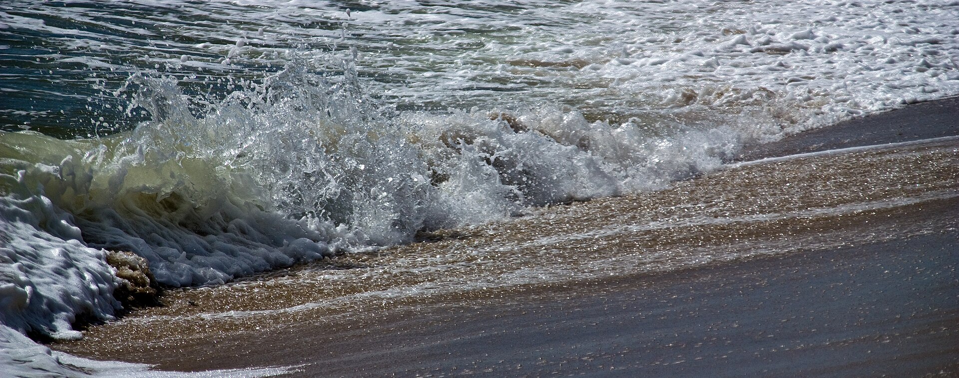
The hazards list is where the advisories stop sounding reassuring. Wind: gale-force winds are possible in gusts along portions of the northeastern United States coast through Thursday. Coastal flooding: minor to locally moderate flooding is ongoing along portions of the U.S. Mid-Atlantic coast and will continue through the rest of the week around the times of high tide. Surf: large swells generated by Josephine are affecting much of the eastern seaboard of the United States and portions of Atlantic Canada, and are likely to cause life-threatening surf and rip current conditions. NOAA's Weather Prediction Center put the same warning in blunter language on October 21: "persistent and strong onshore winds will result in coastal flooding, dangerous marine conditions and beach erosion, especially at high tide cycles, from southern New Jersey through the North Carolina Coast," with wind gusts in excess of 40 mph possible especially across North Carolina's Outer Banks.
The flooding is the story, and it started before the name
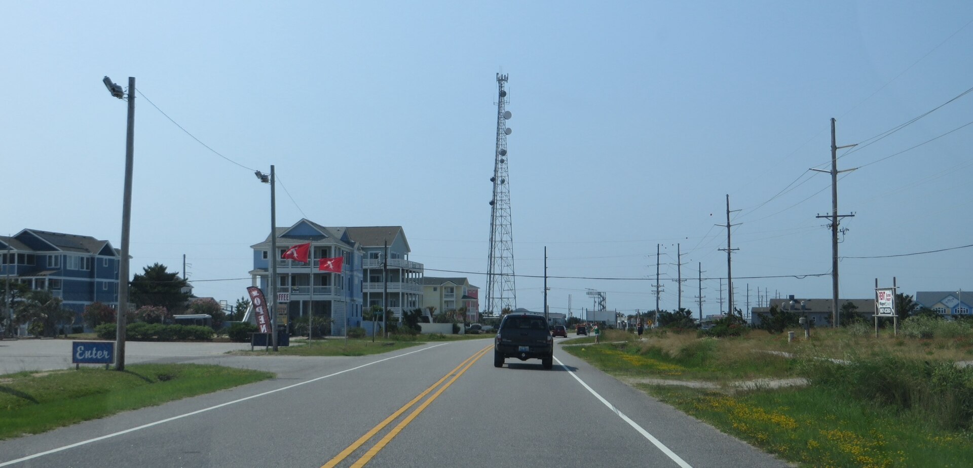
Josephine did not arrive on Wednesday. It was renamed on Wednesday. The system spent the first half of the week as a slow-moving offshore nor'easter — tracked by the Hurricane Center as Invest 93L — and its impacts were already accumulating before it had a name to put in a headline. USA TODAY reported that the Outer Banks had already seen damage to dunes and roadways this week, including on NC 12, the main roadway through the Outer Banks and the only road link for Hatteras Island communities. Every high tide has been arriving on top of water already pushed against the shore by days of onshore wind, which is why the flooding forecast is written in tide cycles rather than in inches of rain: the heaviest rain, forecasters note, stays offshore with the center. This is an ocean-driven flood, not a rain-driven one.
That distinction matters for how the next few days play out. A rain flood crests and drains. A wind-driven coastal flood returns on schedule, twice a day, for as long as the pressure gradient keeps blowing — and Josephine's enormous circulation means the fetch of wind over open water aimed at the Mid-Atlantic is hundreds of miles long. AccuWeather senior meteorologist Adam Douty, quoted by USA TODAY, offered the comparison residents will actually use: "While there can be significant beach erosion and coastal flooding, this storm is not expected to bring impacts as significant as the late-September nor'easter." That is a measured benchmark, not an all-clear — the late-September storm is the one that damaged NC 12 on Pea Island and closed the road. Josephine is expected to be a lesser version of a damaging event, repeated at high tide through the rest of the week.
Why this matters
Josephine is a case study in the gap between how storms are categorised and how they are experienced. On the season's scoreboard it will count exactly the same as Hurricane Isaias, which made landfall near Destin, Florida, on October 9 with 105 mph winds: one named storm. Josephine is the 10th named storm of 2026, with the season running to November 30. The 30-year average for a full Atlantic season is 14 named storms, seven hurricanes and three major hurricanes — so by count alone, 2026 is pacing like a moderately busy year with six weeks still to run. But the count conceals the distribution. A season can stack up names from short-lived, offshore hybrids like Josephine while its real damage is concentrated in one or two landfalling systems, and anyone who judges the year by the number 10 will misunderstand both.
There is a second lesson in the geography of the hazards. Josephine's center will never come within roughly 250 miles of the U.S. coast, yet its official hazards cover a coastline running from Florida — where the National Weather Service in Melbourne warned of dangerous rip currents and hazardous boating conditions on the state's east coast, and advised against entering the surf — to Atlantic Canada. A wind field 830 miles across does not need a landfall to close beaches, erode dunes, flood roads at high tide and kill swimmers in rip currents; historically, surf and rip currents are among the deadliest hazards of offshore storms precisely because the weather on the beach can look deceptively ordinary while the water is at its most dangerous. The inland picture underlines the point: high pressure parked over the eastern states means, as Douty put it, residents a short drive inland "may not even know there is a storm lurking offshore," under a week of sunshine. Both things are true at once — a named storm offshore, a calm week inland, and a flooding coastline in between.
Finally, Josephine's second act is worth watching for what it says about October storms in the North Atlantic. The NHC expects the system to get stronger after it stops being subtropical — re-energised by the jet stream as a powerful extratropical cyclone with hurricane-force winds on the open ocean. Ships and Atlantic Canada's offshore interests, rather than U.S. beaches, are the audience for that phase. Storms that transition this way are a regular feature of late-season Atlantic weather, and Josephine's tidy forecast — form Wednesday, turn Thursday, accelerate away, deepen over cold water — is close to the textbook version.
What is a subtropical storm, exactly?
The National Weather Service definition, carried in USA TODAY Network coverage, is that tropical and subtropical storms both develop from low-pressure systems over warm water with maximum sustained winds of at least 39 mph, and both can bring high winds, dangerous surf and flooding. The difference is structural. A tropical storm's strongest winds wrap tightly around its warm core, which is what lets it build the distinctive eye of a hurricane as it organises. A subtropical storm's strongest winds occur much farther from the center, its structure is far less symmetrical, and it typically has a large, relatively cloud-free center with the heavy thunderstorms sitting in a band a hundred miles or more away. AccuWeather hurricane expert Alex DaSilva summarised the energy budget: "Tropical systems get their energy from warm-sea surface temperatures. Subtropical storms get their energy from both the warm sea-surface temperatures and the jet stream. Usually subtropical storms have larger wind fields than purely tropical systems, as well." The Hurricane Center has named subtropical storms from the main Atlantic list since 2002, and Josephine — pronounced JOH-seh-feen — takes the J slot in the 2026 list, following Isaias. There is, as the Weather Service notes, no such thing as a subtropical hurricane: a subtropical storm that reaches hurricane-force winds while keeping its hybrid structure is transitioning, as Josephine is forecast to do, into something else.
What happens next
Thursday is the turn. Josephine should accelerate northeastward away from the United States, pass south of Nova Scotia and Newfoundland, and complete its transition to a powerful extratropical cyclone with hurricane-force winds over the open Atlantic by late Thursday. For the U.S. coast, the storm's departure does not end the event on Thursday: the NHC expects Mid-Atlantic coastal flooding to continue through the rest of the week around high tides, and the dangerous surf and rip-current risk will outlast the strongest winds, as swells generated by the departing cyclone keep arriving. By Friday, the Hurricane Center's earlier guidance had environmental conditions becoming unfavourable for any further subtropical or tropical development of the system — a spent storm, but one whose water takes days to settle.
Josephine also may not be the basin's last word this week. The Hurricane Center's tropical weather outlook issued early Thursday (2 a.m. EDT, October 22) noted a separate trough of low pressure several hundred miles east-southeast of Bermuda producing disorganised showers and thunderstorms, with a low 10 percent chance of formation over the next 48 hours and seven days before upper-level winds shut the window by the weekend. It is a footnote, not a threat — but in a season that has already produced ten named storms and one destructive Florida landfall, forecasters will keep watching the map until November 30.
For readers along the coast, the practical guidance has not changed since the nor'easter phase: check your local National Weather Service office for flood statements, stay out of the surf while rip-current warnings are posted, and do not drive through water over coastal roads. Josephine will be gone by the weekend. The tide cycles it leaves behind are the part to respect.
Related reading
Sources: National Hurricane Center, Subtropical Storm Josephine Advisories 1 and 2 (October 21, 2026) and Tropical Weather Outlook (October 22, 2026); NOAA Weather Prediction Center forecast discussion, October 21, 2026, via USA TODAY; USA TODAY, "Subtropical Storm Josephine forms in the Atlantic Ocean," October 21, 2026; Naples Daily News / USA TODAY Network-Florida, "Subtropical Storm Josephine forms," October 21, 2026 (NHC advisory data, National Weather Service Melbourne and Florida Division of Emergency Management statements).