Mexico / The warning is up — and the coast has until Saturday night
Track it live: Live hurricane tracker
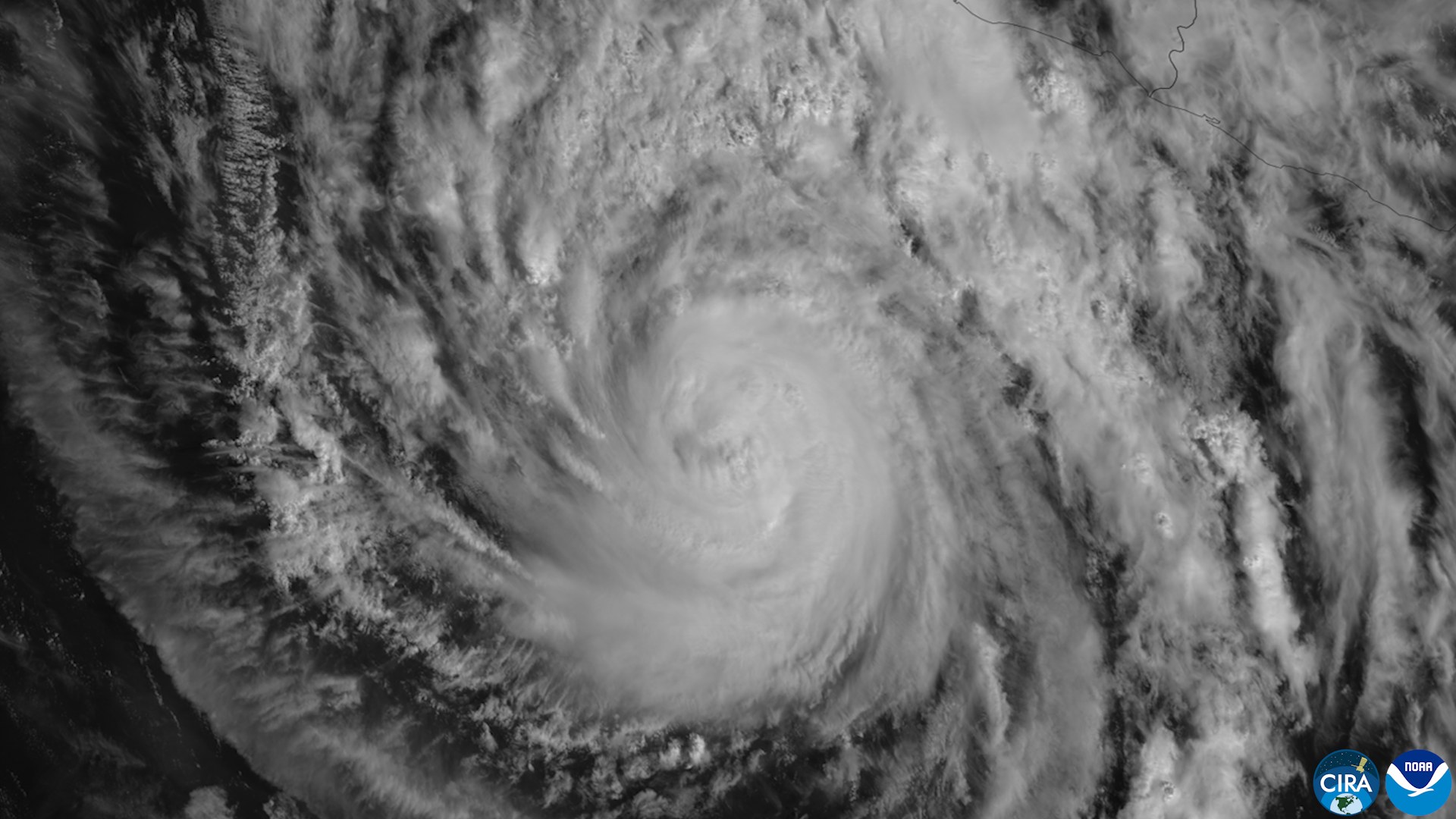
MEXICO'S PACIFIC COAST — Start with the numbers the National Hurricane Center put out at midday Friday, Central time, in its intermediate advisory 13A, because they are the most current verified position for Trudy. The center was at 14.7 degrees north, 102.5 degrees west — about 230 miles southwest of Acapulco and about 320 miles south-southeast of Manzanillo. Maximum sustained winds were near 110 mph, down from the 120 mph reported in the morning advisories, after satellite wind data suggested the storm was not quite as strong as first estimated. The central pressure was 963 millibars, the movement was north-northwest at just 5 mph, and an Air Force Reserve Hurricane Hunter aircraft was on its way in to measure the storm directly.
That downgrade comes with an important asterisk, and the Hurricane Center stated it plainly: some strengthening could still occur through Saturday, and Trudy is forecast to be a major hurricane — Category 3 or stronger — when it makes its closest approach to Mexico. In other words, Friday's story is not a storm falling apart. It is a storm whose exact strength is being argued over by satellites and aircraft, while its track, its rain and its timetable have barely moved.
How Trudy got here: 75 to 120 mph in about a day
The speed of Trudy's rise is the reason this weekend is dangerous. On Thursday afternoon the storm was a Category 1 hurricane with winds of about 75 mph. By Thursday night it was at 105 mph. In the early hours of Friday it crossed the major-hurricane threshold at 120 mph — a gain of roughly 45 mph in about 24 hours, which meteorologists classify as rapid intensification. Reuters, reporting Friday morning, noted that forecasters saw room for the storm to strengthen further before its weekend approach, and Mexico's civil protection agency was already urging residents in the path to secure doors and windows and clear anything the wind could pick up and throw.
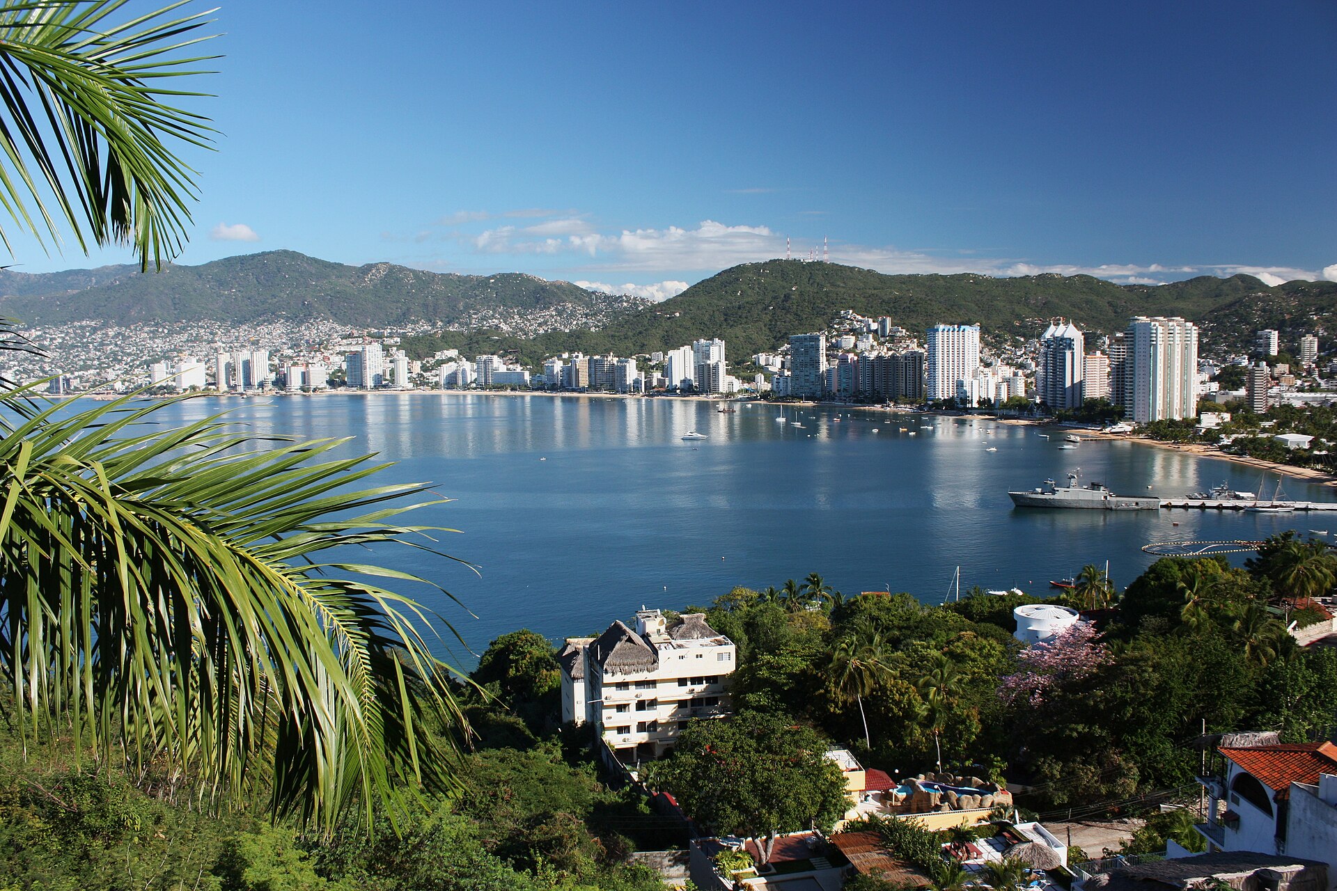
Rapid intensification is the nightmare scenario for this particular stretch of coast, and everyone who follows eastern Pacific hurricanes knows why. In October 2023, Hurricane Otis exploded in strength just offshore and devastated Acapulco — the same resort city that sits at the southern edge of Trudy's current warning geography. Trudy is not Otis: its center is forecast to pass near the coast rather than score a direct hit on a major city, and its midday winds were revised down, not up. But the Otis precedent is exactly why a 45-mph jump in a day, this close to shore, gets treated as a serious emergency rather than a weather curiosity.

The warnings now in effect
Friday's 9 a.m. advisory brought the day's most consequential change on land: the government of Mexico issued a hurricane warning for the coast from Manzanillo northward to Playa Perula, in Jalisco. A hurricane warning means hurricane conditions are expected somewhere in that area, typically within 36 hours — preparations to protect life and property, the Hurricane Center says, should be rushed to completion. Around that core, the map fills in: a hurricane watch runs from Playa Perula north to Cabo Corrientes and south from Manzanillo to Punta San Telmo in Michoacán; a tropical storm warning covers the coast south from Manzanillo to Zihuatanejo in Guerrero; and a tropical storm watch extends north of Cabo Corrientes toward San Blas. The Hurricane Center expects hurricane conditions in the warning area by late Saturday or Saturday night, with tropical storm conditions spreading in from Saturday — and in the southern warning area as early as late Friday night.
The human timetable follows from that. On the forecast track, Trudy's center approaches the southwestern and west-central coast on Saturday and passes near the coast Saturday night into Sunday. Hurricane-force winds extend only about 30 miles from the center, but tropical-storm-force winds reach out 140 miles — which is why places well outside the narrow core, including the Puerto Vallarta area north of Cabo Corrientes, are already reacting. WestJet, for example, has put flexible rebooking in place for Puerto Vallarta flights on October 18 and 19, a small, practical signal of how far the disruption radius extends beyond the warning polygon.
Why this matters
With Trudy, the wind headline is not the main threat — the water is. Through the weekend, the Hurricane Center expects 4 to 8 inches of rain along and near the southwest Mexican coast in Michoacán, Colima and Jalisco, with isolated totals around 15 inches. Guerrero, farther south, is in line for 2 to 4 inches with isolated amounts near 6. Those numbers land on steep terrain, and the center's language is blunt about the consequence: life-threatening flooding and mudslides, especially where the ground rises sharply from the sea. Add possible coastal flooding from storm surge where winds blow onshore, accompanied by large and destructive waves, and swells that are already producing life-threatening surf and rip currents along the southwest coast and will spread north in the coming days.
Context makes the rain totals worse. This coast has already been battered in recent weeks by a procession of storms that left people dead and caused severe flooding, as Reuters noted Friday — Trudy is arriving on ground that is, in places, already saturated, in a season that has already produced major hurricanes on this coast, including Polo. Saturated slopes fail at lower rainfall thresholds than dry ones. A forecast of 8 inches on a fresh hillside and 8 inches on a hillside that has been rained on for weeks are two different emergencies wearing the same number.
There is also an honest uncertainty at the center of this story, and it cuts both ways. Trudy's midday downgrade — from satellite wind data, before the Hurricane Hunter's direct measurements were in — is a reminder that the storm's true strength on Friday was genuinely unsettled. If the aircraft finds a stronger storm, or if Trudy resumes strengthening over warm water through Saturday as forecast, the coast faces a major hurricane at close range. If the center stays farther offshore and weakening begins earlier than expected, the worst of the wind stays at sea and the story becomes mainly a rain and surf event. Forecasters are not hiding that range; the cone, the watches stacked north and south of the warning, and the promise of further warning changes later Friday are all ways of saying the same thing.
What happens next
The next decisive data point is the Hurricane Hunter flight that was approaching Trudy at midday: direct wind and pressure measurements will either confirm the satellite-based downgrade or revise the storm back up, and the Hurricane Center's next complete advisory follows Friday afternoon. After that, the weekend sequence is set. Tropical storm conditions reach the southern warning area late Friday night or early Saturday; hurricane conditions are possible in the watch areas and expected in the warning area by late Saturday; the closest approach comes Saturday night into Sunday; and weakening is expected later in the weekend and into early next week. Two neighboring systems frame the wider Pacific picture: Tropical Storm Simon, northwest of Trudy, is weakening toward a remnant low after drenching parts of this same coast earlier, and far to the west, Tropical Storm Champi is bearing down on the Guam area — a reminder that Trudy is one act in an unusually busy Pacific season, not the whole play.
For residents and travelers along the Manzanillo–Playa Perula–Puerto Vallarta corridor, the practical advice has not changed with the midday downgrade: finish preparations Friday, expect the worst conditions Saturday night, and treat any water — flooded roads, swollen streams, the surf itself — as the most likely danger. The storm's name may have briefly cycled through Category 3, Category 2 and back toward major-hurricane forecasts in a single day. The rain does not care what category is printed next to it.
Related: Hurricane Polo's Category 5 run at Mexico earlier this season · Hurricane Isaias: a Category 3 landfall on the Gulf Coast
Sources: National Hurricane Center, Hurricane Trudy advisories 13 and 13A, Oct. 16, 2026 — https://www.nhc.noaa.gov/text/refresh/MIATCPEP1+shtml/161455.shtml and https://www.nhc.noaa.gov/text/refresh/MIATCPEP1+shtml/280245.shtml?text ; Associated Press, "Hurricane Trudy strengthens to a Category 3 storm off Mexico's Pacific coast," Oct. 16, 2026 (via KCAU) — https://www.kcau9.com/news/international/ap-hurricane-trudy-strengthens-to-a-category-3-storm-off-mexicos-pacific-coast/ ; Reuters, "Major hurricane Trudy keeps strengthening as it nears Mexico's Pacific coast," Oct. 16, 2026 — https://www.reuters.com/business/environment/major-hurricane-trudy-keeps-strengthening-it-nears-mexicos-pacific-coast-2026-10-16/ ; USA TODAY, "Track major Category 3 Hurricane Trudy as it approaches Mexico," Oct. 16, 2026 — https://www.usatoday.com/story/news/weather/2026/10/16/hurricane-trudy-path-tracker-spaghetti-models-forecast/92278728007/