Weather / United States — Heber-Overgaard tornado damage is the hard edge of a day forecasters had warned about since morning: a likely tornado, not yet confirmed by the National Weather Service, damaged homes and cut power in the Mogollon Rim community on Wednesday evening, while the same system pushed Moenkopi Wash to a record flood and sent damaging floodwater through Clifton.
Track it live: Live tornado and severe weather tracker
The Heber-Overgaard tornado damage reported on Wednesday night, October 21, 2026, changed what kind of story this was. Until early evening, Arizona's storm day had been about warnings — extraordinary ones, including the state's first tornado watch in more than 16 years — without a confirmed footprint. Then, at around 7 p.m. MST, a tornado-warned storm moved through Heber-Overgaard, the forested Navajo County community about 150 miles north-east of Phoenix, and the reports changed character: homes damaged, power poles down, people displaced, minor injuries, and a sheriff's office urging drivers to stay away. The National Weather Service had not confirmed a tornado touchdown as of Wednesday night, and this article does not claim one. What the evidence supports — radar, a warning sequence centred on the town, damage imagery seen by a television chief meteorologist, and the sheriff's account of significant damage — is a likely tornado, whose confirmation rests with survey teams. No deaths have been reported.
Heber-Overgaard was only half the night's damage. Roughly 150 miles to the north-west, Moenkopi Wash near Tuba City rose above major flood stage and past its previous record height, with life-threatening flash flooding already occurring, the Weather Service said. Far to the south-east, floodwaters sent mud and water rushing downhill through Clifton, causing significant damage, FOX Weather reported. And the system is not finished: parts of central and eastern Arizona, Phoenix included, sit under a renewed Level 2 of 5 severe risk for Thursday. Wednesday asked Arizona to take tornado warnings seriously; Thursday will test whether the water does still more damage than the wind.
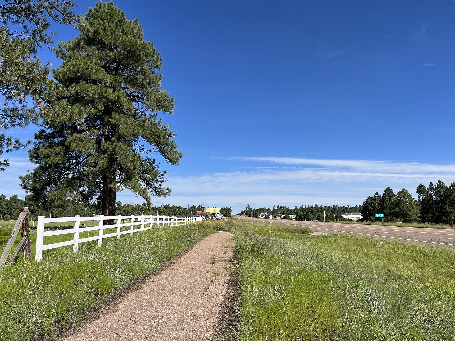
What happened in Heber-Overgaard
The Navajo County Sheriff's Office, as reported by FOX Weather, said the storm caused minor injuries and significant damage in Heber-Overgaard, including displacing people from their homes. State Representative Walt Blackman described considerable damage and power outages, with at least one person injured and homes and power poles damaged. The sheriff's office urged people to avoid State Route 260 between Mogollon and the Overgaard Airpark, and areas north of State Route 377 toward Tonto, the Phoenix Focal reported. Navopache Electric Cooperative reported outages, with no customer count and no restoration estimate yet available on Wednesday night, the Focal reported.
For one resident, the storm arrived faster than any warning she heard. Betty Nixon, who has lived in Heber for eight years, told the Phoenix Focal that wind and debris battered her home for about 30 to 45 seconds while she sheltered on the floor with her dogs. A large section of a neighbour's tree landed in her yard; another neighbour's windows were reportedly shattered. Nixon said she heard no warning before it hit. Hers is a single eyewitness account, reported by one outlet, and should be read that way — but it captures what statistics cannot: in a small pine-forest community at the top of the Mogollon Rim, a storm tracked on radar all day arrived, for at least one household, as half a minute on the floor.
The confirmation question sits over all of this, and the honest answer on Wednesday night was: not yet. FOX 10 Phoenix and AZCentral both reported that the National Weather Service had not confirmed a touchdown. ABC15 chief meteorologist Amber Sullins took the evidence further, saying a touchdown likely happened — around 8 p.m. on her radar reading — based on radar scans and viewer damage photos and video. Those positions are not in conflict: a meteorologist can judge a touchdown likely from radar and imagery; the Weather Service confirms through its own process, usually daylight damage surveys. Did a tornado hit Heber, Arizona? On Wednesday night's evidence, very probably. Officially, unconfirmed. Both halves are the news.
The warning timeline
The warning sequence, documented by the National Weather Service and carried by Interactive Hail Maps, shows a storm tracked toward Heber-Overgaard in stages. At 6:36 p.m., NWS Flagstaff issued a tornado warning for a storm 10 miles north of Forest Lakes and 14 miles west of Heber-Overgaard, moving north-east at 30 mph, with radar-indicated rotation. At 6:58 p.m. came a severe thunderstorm warning, for 60 mph gusts and half-dollar hail. At 7:02 p.m., a second tornado warning placed the storm over Heber-Overgaard itself, now moving north-east at 40 mph, again radar-indicated, with hazards of a tornado and half-dollar hail. By about 7:22 p.m., AZCentral reported, the storm had weakened and was no longer producing a tornado. That is why Nixon's account matters: the storm was warned 26 minutes ahead of the town-centred warning, but a warning only protects people who receive it. Elsewhere, Flagstaff recorded a top gust of 72 mph, FOX Weather reported, and Mesa saw heavy hail. The build-up is covered in Signal Post News' report on Arizona's first tornado watch in 16 years.
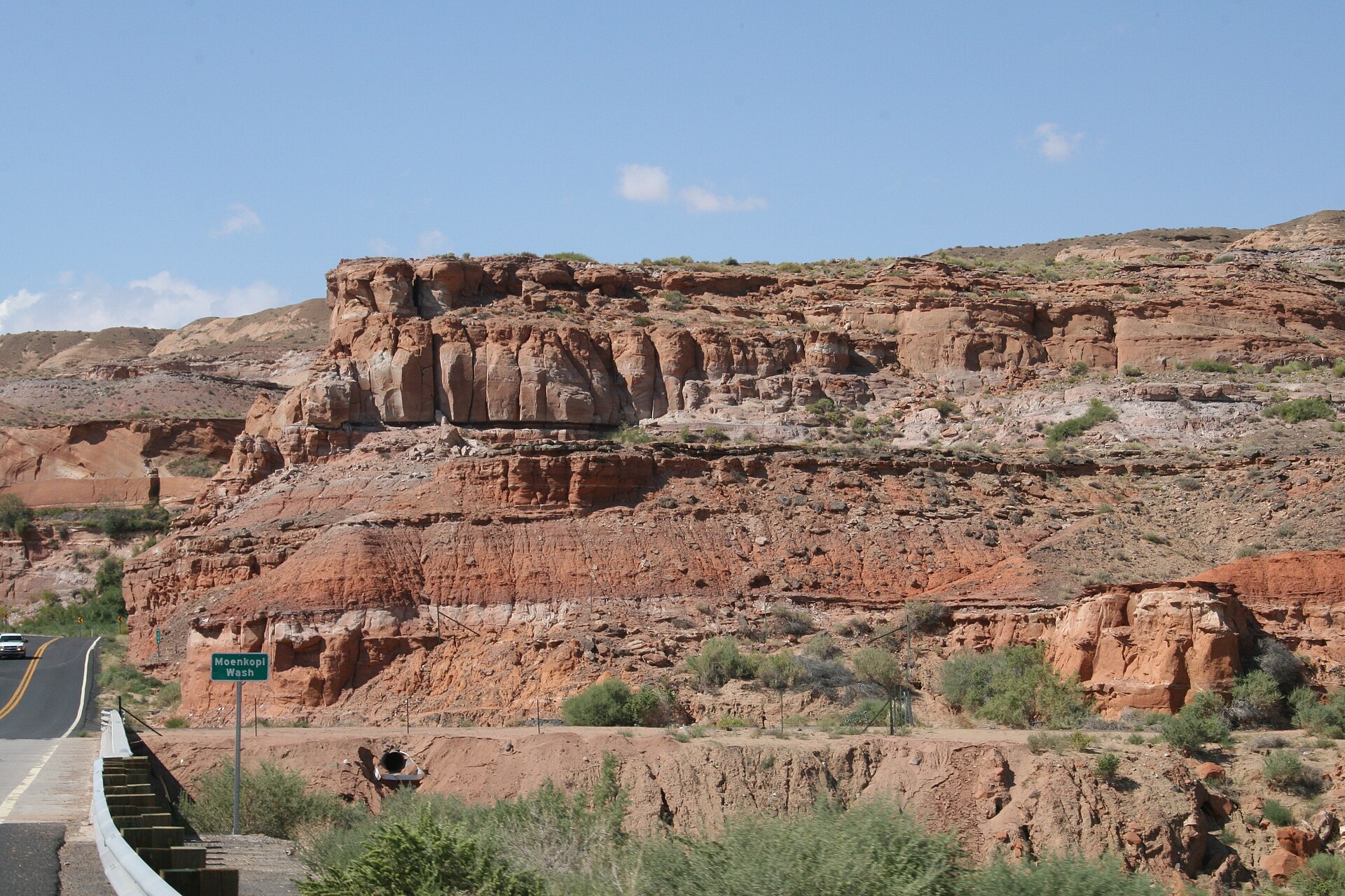
The second punch: record water at Moenkopi, damage at Clifton
If the wind made the headlines, the water may prove the larger disaster. Near Tuba City, NWS Flagstaff extended a Flash Flood Warning for Moenkopi Wash, the AZCentral live blog reported, describing life-threatening flash flooding as already occurring. At 8:45 p.m. MST the gauge stood at 33.54 feet, against a flood stage of 27 feet — the level at which water encroaches on homes in lower Moenkopi Village and floods crop fields. At 9:49 p.m. the wash remained above major flood stage, and the warning was extended to 2 a.m. MST. FOX Weather put it starkly: the wash surpassed its previous record height by nearly 3 feet, rising above 32 feet on Wednesday evening. A desert wash does not rise six and a half feet above flood stage gently; it arrives as water, mud and debris in a channel that people cross, farm beside and live beside.
Clifton, the old copper-mining town in Greenlee County, took the other flood hit: powerful floodwaters sent mud and water rushing downhill through Clifton, causing significant damage, FOX Weather reported on Thursday. The detail available at the time of writing is thin — a sentence, not a survey — and this article does not inflate it. But Clifton sits in a canyon, on a river, with streets along slopes, and such towns turn heavy rain into fast water. Between Moenkopi and Clifton, Wednesday's flood footprint spanned most of Arizona's width, and its full accounting will take days.
The emergency-declaration call
By Wednesday night the damage had become a political question, because the speed of outside help depends on declarations as much as on need. Representative Blackman called on Governor Katie Hobbs to declare a state of emergency for Navajo County, FOX 10 Phoenix reported. He said he planned to visit on Thursday afternoon, and set out his priorities: restore power, clear roads, assist displaced residents and secure state aid. The people of Heber need immediate assistance, he said in substance, rejecting delay: "Waiting until every damaged structure has been counted before beginning emergency coordination is not an acceptable response."
Both sides deserve stating. Blackman's case has real force: a declaration unlocks state resources and starts the clock on possible federal assistance, and displaced residents cannot wait for a perfect damage count. The counterweight is process: declarations normally follow at least a preliminary assessment, and county officials were still in the first hours of learning what had happened. Governor Hobbs's decision was pending at the time of writing. The facts behind the call are not in dispute: homes damaged, at least one person injured, residents displaced, power out, and two highways flagged by the sheriff as routes to avoid.
Why this matters
Arizona is not supposed to have nights like this, and its habits and housing are built on that assumption. The state's severe season is the monsoon — mid-June to the end of September, FOX Weather notes — and its signature threats are dust, microbursts and flash floods. Tornadoes sit so far outside ordinary experience that Wednesday's watch was the first issued in Arizona in more than 16 years, on the FOX Forecast Center's count. The damaging storm therefore arrived in a community with no tornado routine: no siren culture, no drilled shelter habit, and in most homes no basement, because Rim-country houses are not built for a hazard that until Wednesday existed almost entirely in other states' news.
Second, Wednesday compressed two disasters into one system, recovering at different speeds. Tornado-type damage — if surveys confirm it — is concentrated: a path, a set of streets along a corridor. Flood damage is diffuse: a wash at record height touches homes, fields and roads along miles of channel. The response must run both recoveries at once, in counties — Navajo, Coconino, Greenlee — that are large, rural and hours apart. The same pattern played out this month in Nevada, where a tropical system's rain did the record-setting work, as Signal Post News reported in its coverage of Las Vegas's record flash flooding from Tropical Storm Rachel. In the desert South-west, the water is routinely the bigger story — even on a night when a likely tornado is the headline.
Third, this is a story about the gap between a warning and an outcome. The forecasting chain performed: a Level 3 risk drawn in advance, a watch posted in the morning, warnings in sequence as the storm approached. The outcome chain is murkier: a resident who heard no warning, a damage toll still uncounted at midnight, and a confirmation process that ends only when survey teams walk the ground. Federal disaster aid is the usual bridge after the fact — its politics contentious even in tornado country, as the fight over federal tornado disaster aid in Wisconsin showed — but aid arrives after the night itself. What protects people during the night is phones, weather radios and neighbours knocking on doors, and how that chain performed in Heber-Overgaard, street by street, may be Wednesday's most important unanswered question.
Context and background: how rare is an Arizona tornado?
Wednesday's setup was flagged as exceptional before a single warning was issued. Parts of central Arizona sat under a Level 3 of 5 severe threat — not seen in October since NOAA moved to the five-tier scale in 2015, FOX Weather reported. The system tapped a plume of humid air over Arizona, also soaked parts of Southern California, and created a low-end tornado risk from Carmel to Los Angeles. The atmosphere behaved less like mid-October and more like a pattern transplanted from another season — why a watch unremarkable in Oklahoma was a 16-year first in Arizona.
Forecasters discussing the pattern went further — recorded here as discussion, not fact. FOX Weather reported that such storms could signal a stormier Southern Tier winter linked to an impending Super El Niño, noting that two of the past three super El Niño winters — 1997–98 and 2015–16 — brought significant severe outbreaks across the Gulf Coast, South-east and Southern Plains. One October storm day does not establish a winter pattern, but a first tornado watch in 16 years, three weeks after the monsoon ended, will be cited all winter if the pattern sets up.
The numbers, in context
Kept exact, Wednesday night's verified ledger reads: one likely tornado, unconfirmed by the National Weather Service as of Wednesday night, through a community whose warning covered about 3,500 people, on FOX 10 Phoenix's reporting; minor injuries, per the sheriff's office via FOX Weather; at least one person injured, per Representative Blackman; residents displaced, number not yet given; no deaths reported by any source. One gauge reading for the record books: Moenkopi Wash at 33.54 feet at 8:45 p.m. MST, against a 27-foot flood stage and a previous record beaten by nearly 3 feet, still above major flood stage at 9:49 p.m. One top wind gust of 72 mph, at Flagstaff. Half-dollar hail in the Heber-Overgaard warnings, beside a severe tier of 60 mph gusts.
Flood stage is not arbitrary: at 27 feet, the Weather Service says, water encroaches on homes in lower Moenkopi Village and floods crop fields. The wash stood six and a half feet above that line, and nearly three feet above anything previously recorded there — the difference between a flood a community has planned around and one outside its lived experience.
Who is affected — and what remains uncertain
The affected are, first, Heber-Overgaard residents whose homes were damaged and who spent Wednesday night displaced and without power. They are the residents of lower Moenkopi Village, for whom a record wash is water at the door, and the farmers whose fields the flood-stage definition names. They are the people of Clifton cleaning mud out of a canyon town, the Navopache Electric crews restoring power with no estimate yet to give — and, prospectively, the far larger population under Thursday's renewed risk, Phoenix included.
The uncertainties deserve the same prominence as the facts. The tornado is unconfirmed, and surveys could find a tornado path or damage consistent with straight-line winds; either finding would change the story's shape. The injury wording comes in two compatible but distinct forms — minor injuries, plural, from the sheriff; at least one person injured, from Blackman — so this article keeps both attributions rather than merging them into a number nobody stated. Damage totals do not yet exist, and the Clifton detail is a single reported sentence. An honest account has those edges showing.
What happens next
Thursday brings the system's second act before its first has been assessed. NOAA placed parts of central and eastern Arizona, including Phoenix, and western New Mexico under a Level 2 of 5 severe risk for Thursday, FOX Weather reported, with a broader Level 1 covering eastern Nevada, much of Utah and the Grand Canyon; damaging gusts and hail are the main hazards. In parallel: a Level 2 of 4 flash flood risk across parts of Utah, Colorado, Arizona and New Mexico, and a small Level 3 of 4 threat near the Ferris Fire burn scar in south-eastern Colorado, where 3 to 5 inches of rain is possible — burn scars being where desert rain turns fastest, because burned ground sheds water instead of absorbing it.
Three findings will define the follow-through. First, the Weather Service's surveys: whether the damage is confirmed as a tornado, and at what strength — the answer that converts "likely" into a record, or revises it. Second, Governor Hobbs's response to the declaration call, and the speed of power restoration and road clearance. Third, the damage assessments in Heber-Overgaard, along Moenkopi Wash and in Clifton, which will turn Wednesday's adjectives — "significant," "considerable" — into counts of homes, and counts are what unlock aid. Signal Post News will update this story as findings land.
Sources
- AZCentral / The Arizona Republic — live severe-weather updates, October 21, 2026 (NWS had not confirmed a tornado; storm no longer producing a tornado by about 7:22 p.m.; Moenkopi Wash gauge 33.54 feet at 8:45 p.m. MST against 27-foot flood stage, still above major flood stage at 9:49 p.m., warning to 2 a.m. MST; flood-stage impacts on lower Moenkopi Village homes and fields).
- FOX Weather — rare severe storm threat across Arizona and Southern California, October 21–22, 2026 (storm through Heber-Overgaard at around 7 p.m. MST, about 150 miles north-east of Phoenix; sheriff: minor injuries, significant damage, residents displaced; Moenkopi Wash nearly 3 feet past its previous record; Clifton flood damage; Flagstaff 72 mph gust; Mesa hail; first Arizona tornado watch in over 16 years per the FOX Forecast Center; October Level 3 first since 2015; monsoon climatology; Thursday outlooks; Super El Niño discussion).
- FOX 10 Phoenix — Heber storm damage prompts call for Arizona state emergency declaration, October 2026 (NWS had not confirmed a touchdown as of Wednesday night; ABC15 chief meteorologist Amber Sullins: a touchdown likely happened, based on radar and viewer damage photos and video; Representative Walt Blackman: considerable damage, outages, at least one injured, call on Governor Katie Hobbs to declare a state of emergency for Navajo County, Thursday visit, priorities and quoted remarks; warning population about 3,500).
- Phoenix Focal — Heber-Overgaard storm damages homes, cuts power; sheriff urges drivers to avoid roads, October 2026 (avoidance guidance for State Route 260 between Mogollon and the Overgaard Airpark and areas north of State Route 377 toward Tonto; Navopache Electric outages with no count or restoration estimate yet; eyewitness Betty Nixon's account; NWS Flagstaff warning sequence via Interactive Hail Maps: 6:36 p.m. tornado warning, 6:58 p.m. severe thunderstorm warning, 7:02 p.m. tornado warning over Heber-Overgaard).
Accuracy note: NO tornado touchdown had been confirmed by the National Weather Service as of Wednesday night, October 21, 2026; the tornado is described throughout as likely and reported, following ABC15 chief meteorologist Amber Sullins's assessment, never as confirmed. NO deaths have been reported. Injuries are described exactly as sourced: minor injuries (Navajo County Sheriff's Office, via FOX Weather) and at least one person injured (Representative Walt Blackman). All photographs are Wikimedia Commons file photos predating the storm, captioned as such; no photograph of Wednesday's damage is used or implied.
Related
Related on Signal Post News: Arizona's first tornado watch in 16 years — the warnings that came before the damage · Las Vegas flash floods: Tropical Storm Rachel's record rain · Trump disaster aid and the Wisconsin tornado