Arizona tornado watch today: northern Arizona is under its first tornado watch in 16 years, after six radar-indicated tornado warnings fired over Flagstaff and Prescott on Wednesday morning and a Tuesday-night storm tore trees down onto cars in Mesa.
Weather / United States — a Level 3 severe risk over the high country, egg-sized hail in the forecast, and a desert state reminded that October can turn
Track it live: Tornado and severe weather tracker
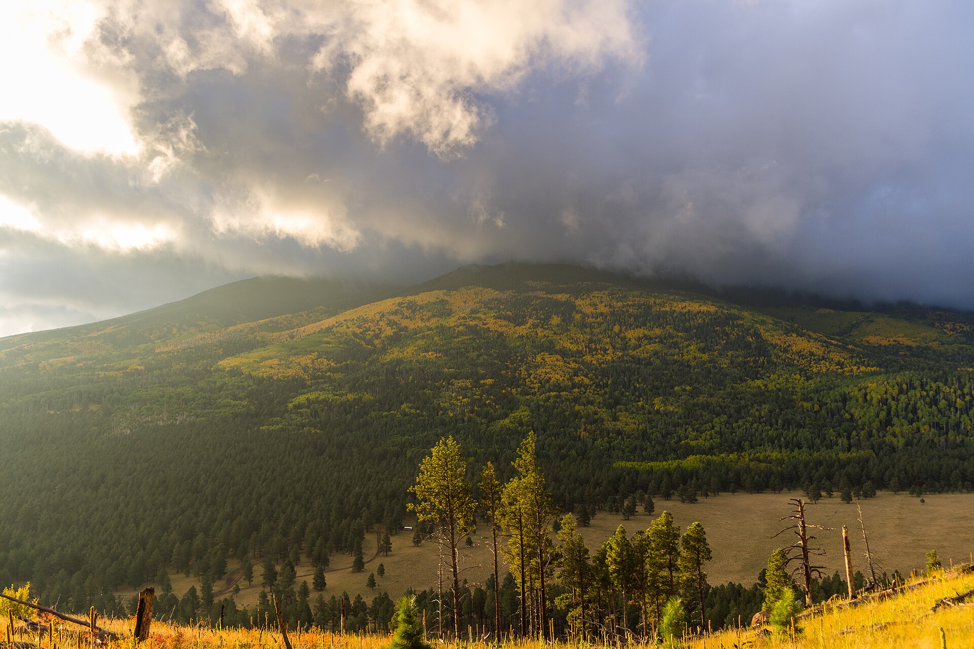
A morning of warnings over the high country
The day began before sunrise in the north. The National Weather Service’s Flagstaff office issued its first three tornado warnings at around 5 a.m. Wednesday for areas of Yavapai and Coconino counties, according to the Phoenix Focal’s account of the warning sequence, with the earliest warnings covering the Perkinsville area north of Cottonwood and ground between Flagstaff and Williams, including Bellemont and Parks along Interstate 40. Further warnings covered the Prescott area shortly before 8 a.m. and the Jerome area soon afterward. A sixth warning, issued at around 9:10 a.m., covered Flagstaff itself and nearby communities including Doney Park, Timberline and Wupatki Trails, running until 9:45 a.m.; the Arizona Republic’s live coverage carried the underlying warning text, which put a severe thunderstorm capable of producing a tornado over downtown Flagstaff at 9:22 a.m., moving north at 45 mph, with radar-indicated rotation and quarter-size hail, and listed Northern Arizona University, Bellemont and the Arizona Snowbowl among the places in its path.
The warnings did not stop at mid-morning. A further tornado warning was issued at 11:32 a.m. for the Valle area of Coconino County, some 30 miles south of Grand Canyon Village, until 11:45 a.m., again for a storm moving northeast at 45 mph with radar-indicated rotation. Severe thunderstorm warnings continued through the early afternoon — including one for Coconino County at 12:11 p.m. covering Red Lake and Howard Mesa along Interstate 40 — and a flash flood warning was in effect for the Flagstaff area from late morning into the afternoon as rain fell on ground that drains fast and floods faster. Phoenix, far to the south, was placed under a severe thunderstorm watch from 1:36 p.m. to 9 p.m. as the system’s southern edge reached the valley.
Every one of these warnings carries the same technical footnote, and it matters: they were issued because radar showed rotation inside the storms, not because anyone saw a tornado touch the ground. The Phoenix Focal stated it plainly — the warnings were based on radar-indicated rotation, not tornadoes observed on the ground — and no confirmed touchdown had been reported by Wednesday afternoon. A radar-indicated warning is not a false alarm; it is forecasters saying the storm in front of them is built the way tornadic storms are built, with minutes, not hours, to spare. But it is not a tornado, and any account that upgrades Wednesday’s warnings into confirmed Arizona tornadoes is ahead of the evidence.
Tuesday night in Mesa: the system’s first calling card
The Phoenix valley met this weather system twelve hours earlier, and on harder terms. On Tuesday night, a powerful storm brought hail, wind and rain through Mesa and Chandler, and at the Talise Apartments near Gilbert Road and University Drive in Mesa it uprooted large trees, according to azfamily (KPHO) reporting summarised by the Phoenix Focal. A large tree fell, a branch came down on a carport and bent the structure, damaging the vehicle underneath it, and other residents found trees lying on their cars with windshields shattered. “My car’s just buried underneath a tree,” one resident said, describing overnight winds as unexpectedly intense.
Mesa’s damage is the day’s only confirmed destruction so far, and it is wind damage — straight-line storm winds toppling trees onto a carport and cars — not tornado damage, on everything reported so far. That distinction is not pedantry. It is how the rest of Wednesday should be read: a genuinely severe, genuinely rare storm day for Arizona, whose confirmed footprint by Wednesday afternoon was a damaged apartment complex carport, shattered windshields and a long list of warnings, rather than a tornado outbreak with a damage path to survey. If survey teams or spotters confirm more later, that picture changes; on the current record, it has not.
The watch, the Level 3 risk, and what the numbers say
The tornado watch posted for northern Arizona ran from 10 a.m. to 6 p.m. Wednesday across Coconino, Yavapai, Mohave and Navajo counties, the Arizona Republic reported, with thunderstorm coverage expected to increase through the afternoon on strong vertical wind shear capable of supporting supercells with all severe hazards — 2-inch-plus hail and tornadoes among them. The watch’s own probability table, carried in the Republic’s live coverage, put the chance of tornadoes somewhere in the watch area at 50 percent, with a 20 percent chance of one reaching EF2 strength or greater, a 60 percent chance of hail between one and two inches, and damaging-wind chances of 40 to 20 percent at the 60 and 75 mph thresholds. Those are watch-area probabilities, not a forecast that any given town will be hit — but a 50 percent tornado figure is an unusually muscular number for any watch, let alone one posted over Arizona.
Above the watch sits the outlook that made forecasters use the word rare. Parts of central Arizona, including Flagstaff and Prescott, were placed under a Level 3 out of 5 risk of severe thunderstorms for damaging egg-sized hail and tornadoes, FOX Weather reported, adding that a central-Arizona Level 3 had not occurred in October since NOAA moved to the five-tiered risk scale in 2015. A Level 2 risk covered the Phoenix metro, including Glendale, Chandler and Scottsdale, with a stronger round of storms possible Wednesday evening. About 1.7 million people live inside the broader risk area drawn around the Mogollon Rim corridor from Flagstaff through Camp Verde to Payson, according to summaries of the Storm Prediction Center outlook. The drivers, as the National Weather Service in Flagstaff described them for the flood side of the event, were an upper-level trough pulling a deep surge of subtropical and tropical moisture into the state, with showers and thunderstorms developing from Wednesday morning through Thursday evening and rainfall rates in the heaviest storms of one to two inches per hour.
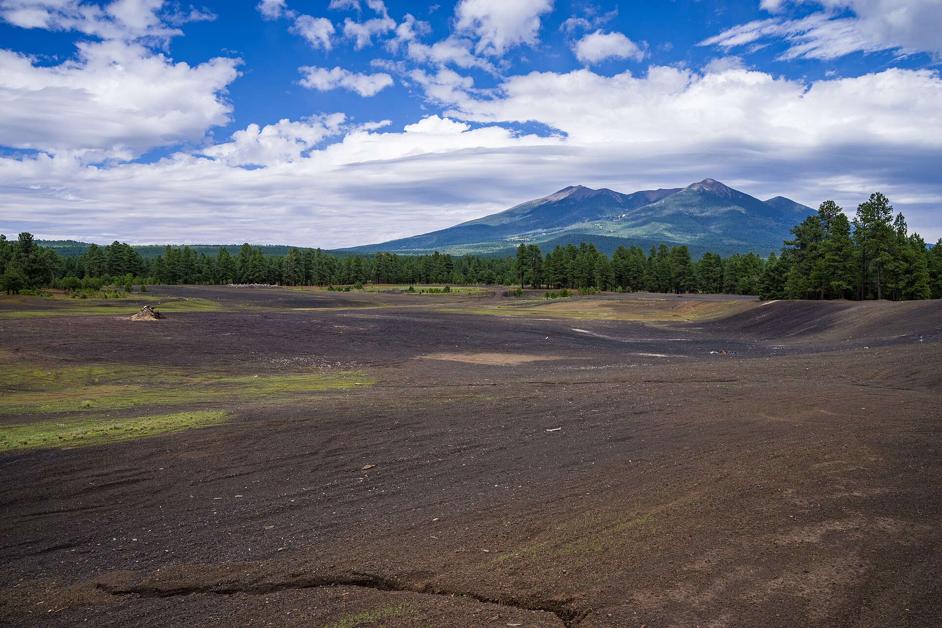
Why this matters
Arizona is not tornado country, and that is precisely the point. The state’s severe-weather calendar is dominated by the summer monsoon — mid-June to the end of September, as FOX Weather noted — and its signature hazards are dust storms, microbursts and flash floods, not rotating supercells over pine forest. A tornado watch is rare enough that the FOX Forecast Center could date the previous one to 16 years ago, and an October Level 3 risk had not happened at all under the modern five-tier scale. When the alert itself is a once-in-a-decade event, most of the people under it have never had to act on one before: there is no drilled routine, no basement culture, and in much of the high country, no basement. The warning system did its job on Wednesday — warnings out before sunrise, a watch posted ahead of the afternoon round — but a warning only works if a population that rarely hears one treats it as real.
The terrain writes the second half of the risk. Northern Arizona’s warned corridor is high, forested plateau cut by canyons and dry washes, threaded by two interstates, I-40 and I-17, that carry long-haul freight and Grand Canyon tourist traffic through exactly the warned counties. The flood watch posted by the National Weather Service in Flagstaff covered all of northern and central Arizona through Thursday evening and named the mechanism residents know best: flash flooding in creeks, normally dry washes, swimming holes and recently burned areas, with low-water crossings going under. Rainfall forecasts carried by the Arizona Republic put a quarter-inch to an inch and a quarter on metro Phoenix, but one and a half to three inches near the Mogollon Rim and the north-eastern valley foothills — the same Rim country sitting under the tornado watch. In desert hydrology, the water is frequently the deadlier hazard, and Wednesday’s event was built to deliver both hazards at once: rotation in the morning, training thunderstorms and rising washes into Thursday.
Third, there is the seasonal signal forecasters are watching beyond this one day. FOX Weather linked the pattern to an impending Super El Niño winter, in which the jet stream shifts over the southern United States and acts, in its phrase, as an atmospheric conveyor belt for storms — noting that two of the past three such winters, 1997–98 and 2015–16, brought significant severe outbreaks across the Gulf Coast, South-east and Southern Plains. One October storm day in Arizona does not prove a winter pattern. But a state recording its first tornado watch in 16 years, in the month after its monsoon ended, is the kind of early data point that will be quoted all winter if the pattern forecasters describe actually sets up.
The numbers, in context
Kept exact, Wednesday’s verified ledger reads: one tornado watch, the first in Arizona in 16 years on the FOX Forecast Center’s count, covering four counties for eight hours; at least six tornado warnings in the morning across two counties, with at least one more, for Valle, before noon; zero confirmed tornado touchdowns and zero reported deaths or injuries in the sources available Wednesday afternoon; one Level 3 enhanced-risk area over the Flagstaff–Prescott corridor, an October first under the post-2015 scale; hail forecast up to two and a half inches in the watch area, with radar estimates during the morning storms of one to two inches over the high country along Highway 89; and one confirmed damage site, the Talise Apartments in Mesa, where trees fell on a carport and cars on Tuesday night.
Set that against the state’s ordinary arithmetic and the rarity sharpens. Arizona averages only a handful of mostly weak tornadoes in a typical year, and its severe season is supposed to end with the monsoon. A day that produces six-plus tornado warnings before lunch, a watch with a 50 percent tornado probability, and a Level 3 October risk is not a slightly worse version of a normal Arizona storm day; it is a different category of day, arriving three weeks after the season that was supposed to contain it.
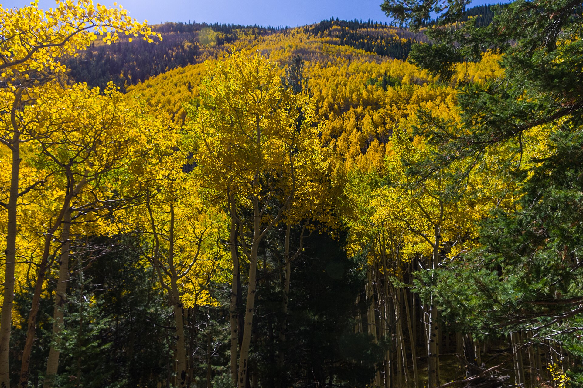
What happens next
The immediate clock runs to Wednesday evening. The tornado watch expires at 6 p.m. local time; the Phoenix severe thunderstorm watch runs to 9 p.m.; and forecasters expected a stronger round of storms Wednesday evening as the system’s core crossed the state, with the Level 2 zone over the Phoenix metro in line for it. The flood watch for northern and central Arizona runs through Thursday evening, and more thunderstorms could develop Thursday as the system shifts east toward the Rockies. The same system was also expected to soak parts of Southern California from Wednesday afternoon, with flash flooding possible over wildfire burn scars and a low-end tornado risk along a corridor from Carmel to Los Angeles, FOX Weather reported.
Four checks will settle what Wednesday actually was. First, confirmation: whether any of the day’s rotating storms is verified to have touched down, which will come, if it comes, from spotter reports and National Weather Service storm surveys rather than from the warnings themselves. Second, damage: whether reports beyond Mesa’s fallen trees emerge from the warned counties once the evening round has passed. Third, water: whether the Rim country’s one-and-a-half-to-three-inch forecast verifies in the washes and low-water crossings the flood watch named. Fourth, the record books: whether the Storm Prediction Center’s storm reports for October 21 give Arizona a confirmed tornado to set against its first watch in 16 years — or whether the day goes down, as it currently stands, as the day the warnings fired and the ground, this time, was spared.
Other reading
For Signal Post News’ coverage of federal tornado disaster aid in the Midwest, see Trump disaster aid and the Wisconsin tornado. Live severe-weather data for Arizona and every other warned state is on the Signal Post News tornado tracker.
Sources
- FOX Weather, October 21, 2026 (published 11:18 a.m. ET, updated 1:10 p.m. ET: Level 3 out of 5 risk for Flagstaff and Prescott with egg-sized hail and tornadoes; first Arizona tornado watch in 16 years per the FOX Forecast Center; no October central-Arizona Level 3 since the five-tier scale began in 2015; Yavapai County tornado warning Wednesday morning; Level 2 for Phoenix, Glendale, Chandler and Scottsdale; flood watch across much of the state through Thursday; Southern California rain, burn-scar flooding and low-end tornado risk from Carmel to Los Angeles; monsoon season context and the Super El Niño winter discussion).
- The Arizona Republic / azcentral live coverage, October 21, 2026 (National Weather Service warning texts as issued: tornado watch for Coconino, Yavapai, Mohave and Navajo counties, 10 a.m. to 6 p.m., with the watch probability table — tornado 50 percent, EF2-plus 20 percent, one-to-two-inch hail 60 percent; the 9:22 a.m. Flagstaff tornado warning, radar-indicated rotation, storm moving north at 45 mph, locations including downtown Flagstaff, Bellemont and Northern Arizona University; the 10:39 a.m. severe thunderstorm near Strawberry, 18 miles north-west of Payson, with two-inch hail; the 12:11 p.m. Coconino County severe thunderstorm warning; rainfall forecasts of 0.25–1.25 inches for metro Phoenix and 1.5–3 inches near the Mogollon Rim, at rates of one to two inches per hour).
- The Phoenix Focal, October 21, 2026, reporting azfamily (KPHO) coverage (six Wednesday-morning tornado warnings across Coconino and Yavapai counties, all radar-indicated with no tornado observed on the ground; warning sequence from about 5 a.m. through the 9:10 a.m. Flagstaff warning expiring 9:45 a.m.; Tuesday-night Mesa storm damage at the Talise Apartments near Gilbert Road and University Drive — fallen tree, branch through a carport bent onto a vehicle, trees on cars, shattered windshields, resident’s account; storm chaser Mike Olbinski tracking supercells near Fountain Hills and Prescott).
- Journalaz / Verde Valley Newspapers, October 21, 2026, reporting the National Weather Service in Flagstaff (flood watch for all of northern and central Arizona through Thursday evening, October 22; tornado watch for parts of Arizona until 6 p.m. Wednesday; an earlier tornado warning from Flagstaff to Bellemont; upper-level trough drawing a deep surge of subtropical and tropical moisture; flash flooding possible in creeks, dry washes, swimming holes and burn areas; weather.gov/flagstaff as the official reference).
- National Weather Service alert data as carried by weather.com and Flagscanner, October 21, 2026 (Flagstaff alerts at Wednesday afternoon: tornado watch until 6 p.m. MST, flash flood warning from 11:02 a.m. to 3 p.m. MST, flood watch until 11 p.m. Thursday; Phoenix: severe thunderstorm watch 1:36 p.m. to 9 p.m. MST and flood watch from Wednesday afternoon to Thursday 5 p.m.; the 11:32 a.m. tornado warning for Valle, Coconino County, until 11:45 a.m., storm six miles west of Valle moving north-east at 45 mph, radar-indicated rotation).
Accuracy note: NO tornado touchdown had been confirmed anywhere in Arizona, and no deaths or injuries had been reported, in the sources available on Wednesday afternoon; every tornado warning in this article was radar-indicated, and the article asserts no confirmed tornado. The six-warning count is the Phoenix Focal/azfamily count for Wednesday morning; at least one further warning (Valle, 11:32 a.m.) followed. The “first tornado watch in 16 years” framing is the FOX Forecast Center’s, reported by FOX Weather and FOX; the October Level 3 comparison dates from NOAA’s 2015 move to the five-tier scale, also per FOX Weather. Mesa’s damage is reported as wind damage from the Tuesday-night storm; no source attributed it to a tornado. All times are local (MST) unless stated. All photographs are U.S. Forest Service file photos of the Flagstaff high country via Wikimedia Commons, captioned as such; no photograph of Wednesday’s storms or of the Mesa damage is used or implied.