Nepal Flash Flood in Gorkha: Five Missing, More Than 100 Trekkers Stranded on the Manaslu Circuit
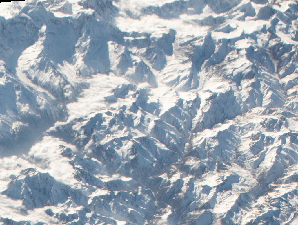
The Nepal flash flood in Gorkha began with a mountainside, not with rain. At about 5:30 a.m. on Sunday, October 11, a major landslide came down between the settlements of Lokpa and Chumling in Chum Nubri Rural Municipality, in the northern part of Gorkha district roughly 100 kilometres west of Kathmandu, according to Nepal's National Disaster Risk Reduction and Management Authority (NDRRMA). The slide blocked the Budhi Gandaki River. When the blockage failed, the water that had built up behind it surged downstream carrying mud, rock and debris through the narrow Himalayan valley.
Five people — two women and three men from the Ungilung and Chumchet area — remain out of contact, the authority said in its first situation report. No deaths have been confirmed. The Nepal Army rescued 95 people on Sunday, including nine foreign nationals, using four helicopters alongside ground teams. By Monday the rescue totals had climbed sharply: Reuters reported 321 people rescued during the day, including 12 tourists, while the Associated Press reported that more than 200 people were evacuated on Monday alone as military rescuers reached cut-off villages with food and relief supplies.
A river that rose six metres in under two hours
The speed of the surge is the detail that explains both the damage and the narrow escape. A government monitoring station on the river recorded the water level climbing from about two metres to nearly 8.5 metres in less than two hours, a government meteorologist told the BBC — and then the station itself was swept away. Bridges, houses and sections of hydropower construction went with it. Nepali disaster officials have described several bridges destroyed, telephone towers and dozens of electricity poles damaged, more than 650 people displaced or affected, and some settlements reachable only by air.
What likely saved lives was the warning. An early alert went out as the flood formed, and many residents reached higher ground before the worst of the water arrived, the Associated Press reported. That sequence — detection, warning, movement uphill — is exactly the chain that so often breaks in mountain flash floods, where the interval between a slope failing and the surge arriving can be measured in minutes.
Why investigators are not blaming the rain
Preliminary assessments point to a landslide-dam outburst: a slope collapsed into the river, ponded water behind debris, and then burst through. The International Centre for Integrated Mountain Development (ICIMOD), reviewing the event, noted that Nepal's hydrology department recorded no rainfall in the upper catchment in the 24 hours before the flood — this was not a storm-driven river rise. Witness suggestions of an ice avalanche have not been confirmed, and officials stress the cause is not yet formally established. The distinction matters for what happens next: a rain flood recedes with the weather, but an unstable slope above a river can dam and release again.
More than 100 trekkers stranded at the start of peak season
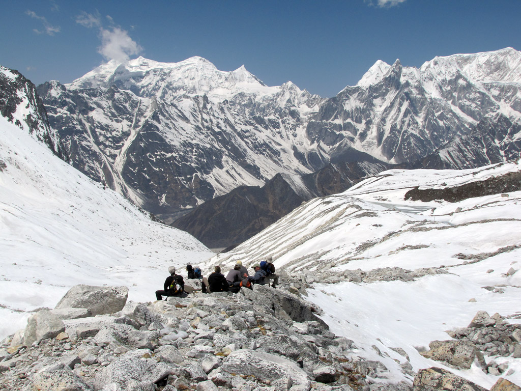
The flood hit at the worst possible moment in the trekking calendar. October is the busiest month on the Manaslu Circuit, the long trail that loops around the world's eighth-highest mountain and follows the Budhi Gandaki for much of its lower length. More than 100 foreign trekkers remain stranded at different points along the route after floodwater swept away trail sections and suspension bridges, an official with the Manaslu Conservation Area Project told Reuters. They are sheltering in tea houses and restaurants along the route and are reported safe; those who want to abandon their trek need to be lifted out, while those positioned on safe ground can continue. In one village, Jagat, a stranded trekker told Anadolu that more than 200 hikers were sheltering there with electricity out, communications disrupted and food supplies slowly running down — a reminder that "safe" and "supplied" are different conditions, and the second one expires.
Nepal's disaster authority said hundreds of security personnel have been mobilised and that helicopter operations were expected to continue into Tuesday, both to keep searching for the five missing and to move supplies into settlements the road network no longer reaches.
The international response
The United Nations moved the same day. The World Food Programme sent three trucks of ready-to-eat food and relief supplies toward the affected area on Sunday, the UN Country Team is supporting the NDRRMA's food distribution to families who lost their homes, FAO drones and UN satellite imagery are being used to map damage in places roads cannot reach, and UNICEF has pre-positioned hygiene kits, water treatment supplies, winter clothing and education materials. The UN noted the flood struck just weeks after catastrophic flooding in Nepal's north in late August — a compounding sequence in which the same institutions, roads and budgets absorb a second emergency before recovering from the first.
Why this matters
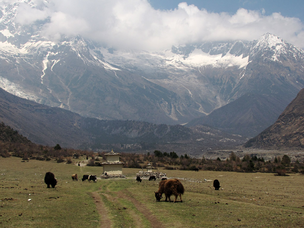
This is a cascading-hazard disaster, and cascading hazards are the Himalaya's defining risk. A landslide is not one event in a steep, young, earthquake-loosened mountain range; it is the first move in a sequence — slope, dam, outburst, flood — in which each stage removes the infrastructure the response to the next stage depends on. Bridges are both the casualties and the lifeline. The Gorkha flood destroyed crossings that villagers, rescuers and trekkers all needed, in a district that already carries the memory of the 2015 earthquake that bore its name as an epicentre.
The numbers tell a two-sided story. On one side: five missing, hundreds displaced, homes, bridges and hydropower works damaged at the start of Dashain, Nepal's biggest festival, when families travel and villages are full. On the other: no confirmed deaths so far despite a river rising more than six metres in under two hours — an outcome officials credit to a warning that arrived in time and people who acted on it. Early-warning systems are unglamorous, chronically underfunded and, on this evidence, the single highest-value investment in mountain disaster policy. The counterfactual is written in Nepal's own recent history, where floods without warning have killed in far larger numbers.
What happens next
The immediate questions are narrow and urgent: finding the five missing, keeping stranded trekkers and cut-off villages supplied, and watching the slope that failed — because a partially collapsed hillside above a river is a standing risk of a second blockage. The wider questions will take longer. Manaslu's trail infrastructure took years to build and underpins the income of every tea house on the circuit; how quickly bridges and paths are restored will decide whether the region loses one season or several. And investigators' formal finding on the trigger — landslide dam, glacial involvement or something else — will matter well beyond Gorkha, because the same dam-and-burst mechanism threatens valleys across the Himalaya, and the only defences that work are monitoring, warning and the willingness to move uphill on a Sunday morning before the water arrives.
Sources: Associated Press; Reuters; Nepal National Disaster Risk Reduction and Management Authority situation report via ReliefWeb; UN News; BBC reporting on the river-gauge data; ICIMOD preliminary assessment. Figures for rescues rose through Monday as operations continued and may be updated as authorities publish further situation reports.