GovMap unblurs Gaza satellite images
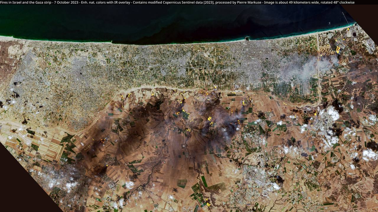
GovMap unblurs Gaza satellite images was the discovery made by open-source researchers after Israel's official public mapping portal briefly served clear, high-resolution tiles over part of northern Gaza. The imagery, dated 2025, appeared to show at least 11 Israeli military bases within the army's buffer zone, the near-total erasure of residential blocks in Beit Hanoun, heavily damaged streets and infrastructure in Shujaiya, and a large deployment at the Karni crossing.
The window was short. The OSINT account @Stinky915846091 first flagged the unblurred imagery on Monday, September 21. The researcher @Nrg8000 preserved the tiles and published a copy on Soar Atlas. GovMap later restored the blur. Israel has not said whether the clear layer reflected an upload error, a temporary technical failure or an unannounced policy test. The imagery does not establish the location or status of forces today.
Why this matters: Israel's own map exposed its military footprint
Satellite images of Gaza are not new, but the source changes their evidentiary weight. These tiles came from a state portal that normally obscures Gaza and sensitive military sites in Israel and the occupied West Bank. In practical terms, the government briefly disclosed what it usually withholds: an official visual baseline of its own military footprint inside the zone it controls.
That matters to the argument over whether the buffer zone is a temporary wartime measure or infrastructure for a lasting presence. A count of at least 11 positions across the northeastern strip is not, by itself, proof of annexation or permanent occupation. Yet it gives negotiators, investigators and the public a more concrete basis for examining what “temporary” means when berms, roads, hardened compounds and a forward base remain visible. Because the tiles were mirrored on Soar Atlas, restoring the blur does not erase the disclosure. The record is now effectively irreversible.
Background: the Yellow Line and Gaza ceasefire Israeli positions
The clear band ran from the outskirts of Gaza City toward Beit Lahiya, overlapping the area commonly described as the Yellow Line, where Israeli forces have been deployed under postwar arrangements. Since the October 2025 ceasefire, Israeli forces have at various points held more than half of Gaza, while the size, duration and enforcement of a buffer zone have remained central disputes. Israel presents such a zone as a security requirement designed to prevent renewed attacks; Palestinians and critics argue that expansion would remove more land from civilian use and harden displacement.
The debate is occurring amid continued deaths and the threat of renewed large-scale fighting. Gaza health authorities say roughly 1,415 Palestinians have been killed since October. That figure comes from authorities in Hamas-run Gaza and cannot by itself determine the circumstances of every death, but it is an important measure of the continuing human cost. Israeli Defense Minister Israel Katz has also issued an ultimatum tied to the evacuation of Gaza City and warned of a renewed offensive if Israeli demands are not met. Those threats give new significance to any map of Gaza ceasefire Israeli positions.
A long history of blurring Gaza satellite imagery
GovMap Israel censored Gaza imagery as a matter of longstanding policy, extending the blur across the enclave and over Israeli and West Bank military installations. Gaza also occupies an unusual place in the history of commercial satellite access. For decades, U.S. rules forced companies to distribute lower-resolution images of Israel and the Palestinian territories than were available for many other places. Restrictions later eased, but the legacy shaped what journalists, researchers and residents could see.
That helps explain why Google's 2025 Gaza imagery update circulated so widely: clear, recent views of the territory remained exceptional even as satellite documentation became routine elsewhere. The GovMap lapse was rarer still. It was not merely another commercial provider refreshing a mosaic. It was the Israeli state's own platform showing imagery at a resolution that reporting said exceeded widely available commercial views. The distinction does not make every interpretation correct, but it makes the provenance unusually consequential.
OSINT Gaza military bases versus state secrecy
The episode also illustrates how secrecy now fails. The discovery did not come from an intelligence service with classified collection systems. It came from open-source researchers checking a public website, comparing layers and noticing that a familiar blur had disappeared. @Stinky915846091 identified the opening; @Nrg8000 preserved it before the portal reverted. Their work transformed a temporary configuration into a durable visual record.
That sequence has become a recurring feature of modern conflict. Governments can control official releases, but public infrastructure—mapping portals, procurement databases, flight trackers and social platforms—creates additional seams. A single wrongly configured layer can reveal information that formal declassification would never approve. Verification still matters: coordinates, dates and interpretations must be checked, and a visible compound is not automatically a currently occupied base. But the tools that challenge state secrecy are now widely distributed.
Data in context: 11 bases, Karni and the scale of destruction
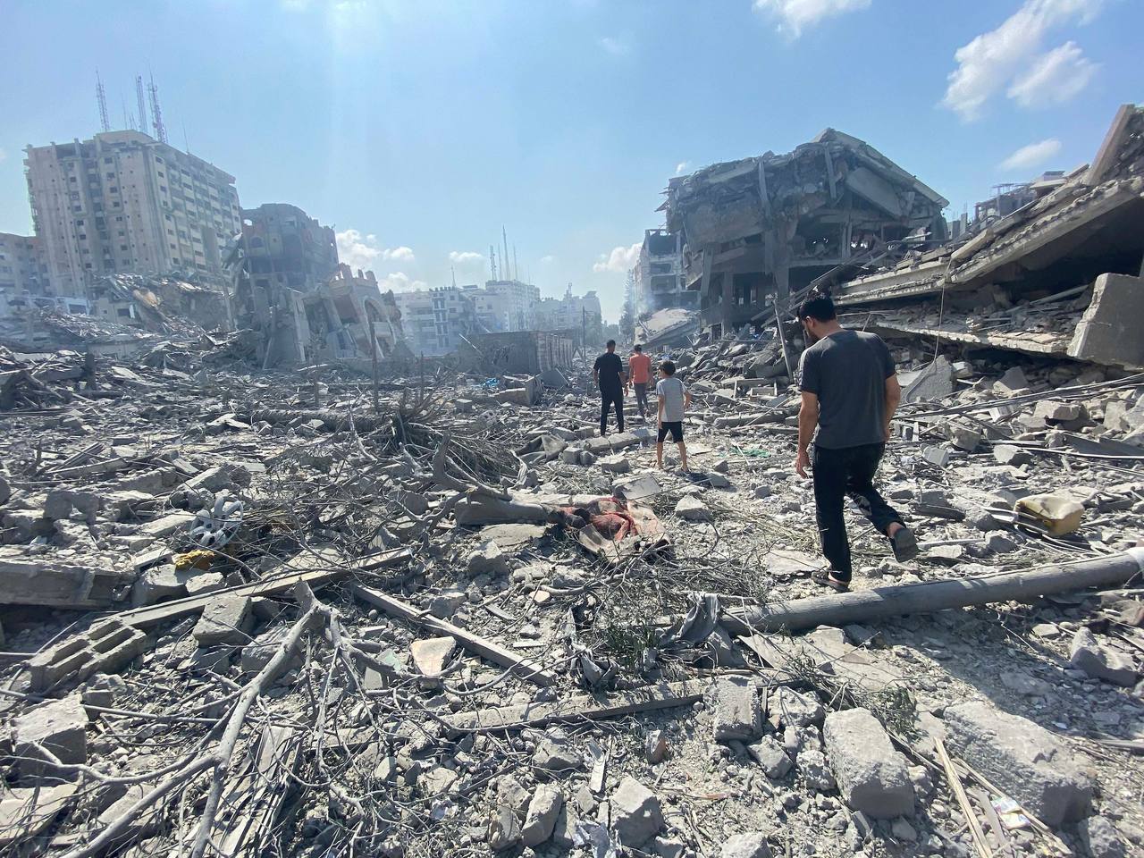
The reported count of at least 11 Israel military bases in Gaza's buffer zone describes a significant footprint. Fortified positions and a Karni crossing military deployment resembling a forward operating base suggest capacity for sustained activity rather than a thin tripwire. At Beit Hanoun, the tiles showed residential areas almost entirely leveled and ground cleared across hundreds of thousands of square metres, a pattern consistent with conversion into a military zone. The Shujaiya destruction satellite view similarly showed roads, buildings and other infrastructure obliterated across parts of eastern Gaza City.
Those observations fit a broader record of devastation without proving when every change occurred. An October 2025 UNOSAT assessment estimated that about 81% of structures in Gaza had been damaged and that 123,464 were destroyed outright. It counted 6,573 damaged structures in Beit Hanoun. Remote-sensing assessments measure visible damage, not casualties, legal responsibility or the military value of a site; those questions require additional evidence.
The date caveat is essential. The clear tiles were labeled 2025, so they are not a live intelligence feed and may not reflect positions on September 26, 2026. Bases can be moved, abandoned, expanded or repurposed. The responsible conclusion is limited: the imagery provides a detailed historical baseline for the northern buffer zone, not proof of today's order of battle.
Who wins and who loses from the disclosure
Transparency researchers and accountability investigators gain the most. They now have a preserved official-source layer that can be compared with later imagery, witness accounts and military statements. Ceasefire negotiators also face a more specific set of facts on the ground: where positions existed, how substantial they appeared and how closely they sat beside destroyed civilian areas.
Israeli operational security loses because detailed base layouts can inform hostile analysis even after positions change. Critics of the Israel buffer zone Gaza map gain evidence that the zone contains substantial military infrastructure. Defenders can answer that a buffer zone with troops is, by definition, a buffer zone with troops, and that visible bases do not prove a plan for permanent control. Both points can be true: the images document a sizable presence while leaving its intended duration unresolved.
What happens next
Three scenarios now stand out. First, the re-blur holds and officials treat the event as a technical error, with no public explanation. Second, Israel formalizes selective openness, perhaps releasing vetted imagery while keeping sensitive sites obscured. Third, tighter internal controls make this the last accidental window and future GovMap updates receive more rigorous security review.
The timing gives the archive wider political force. Gaza's “day after” is being planned through proposals including the Trump Board of Peace recovery framework, while renewed threats against Gaza City raise questions about how much of the mapped military footprint could change again. The central test is not whether one set of tiles settles the argument. It is whether future policy, troop movements and reconstruction plans match the temporary language used around the Yellow Line—or turn the exposed 2025 baseline into the shape of a longer-term reality.
Sources
Reporting basis: This analysis uses published reporting and preserved open-source imagery. The 2025-dated tiles are historical, not a live picture of Israeli positions, and Signal Post News has not independently authenticated every OSINT interpretation.