Half an Acre to 100 in Two Hours: The Bryson Fire Erupts Over Western Malibu
Track it live: Wildfire tracker — live fire map and incident updates.
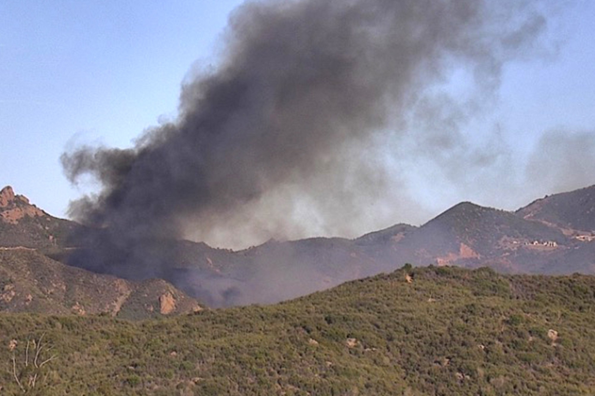
MALIBU, Calif., October 15, 2026 — The ignition point, according to fire officials and television reports from the scene, was in the brush just north of Encinal Canyon Road, between the former Malibu Golf Club and Saddle Rock Ranch — and, most sensitively, right beside Camp Kilpatrick, Los Angeles County's juvenile detention campus in the hills above the coast. Calamigos Ranch, the wedding-and-filming venue known to television audiences, sits in the same canyon country. It is sparsely settled terrain — estates strung along ridge tops and canyon roads — where access is difficult, water is scarce, and a wind shift can reorder the whole incident in minutes.
Ninety minutes from a spark to a major incident
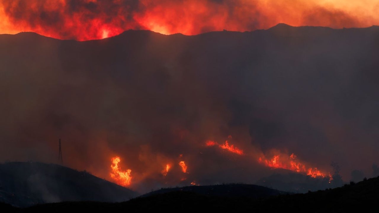
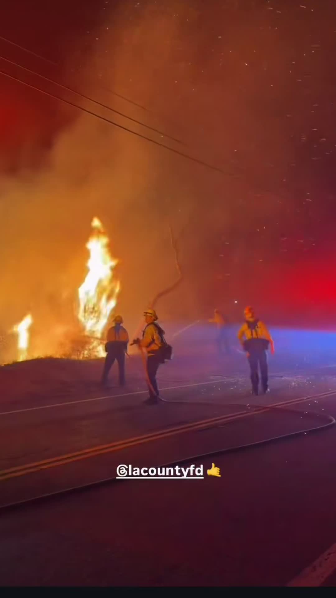
The Bryson Fire's growth curve is the story of the evening, and it reads like a textbook demonstration of what Santa Ana winds do to dry brush. Reported at roughly half an acre around 4:40 p.m., the fire was estimated at five acres within about fifteen minutes. At the half-hour mark it was near 20 acres. By roughly one hour in, incident commanders were reporting 35 to 40 acres with active spot fires — new ignitions blown ahead of the main fire by the wind, each one capable of becoming its own front. The Los Angeles County Sheriff's Department, relaying the incident helicopter coordinator's assessment, put the fire at 80 to 85 acres with the potential to reach roughly 200 acres within the hour. Cal Fire's incident log, updated through the evening, recorded 80 acres at 6:06 p.m. and 101.5 acres at 6:31 p.m. — with containment at 0% throughout. Later Thursday night, county officials were estimating the fire at around 200 acres, still with no containment. A second alarm brought additional crews, Ventura County Fire Department sent engines and personnel across the county line, and water- and retardant-dropping helicopters and fixed-wing aircraft worked the flanks in terrain that ground crews largely cannot reach.
One evacuation order, a widening ring of warnings
Los Angeles County issued an evacuation order — the instruction to leave now — for the Encinal Canyon area, zone KAN-U017, covering the immediate fire area near Trancas Canyon. Evacuation warnings, the instruction to be ready to go, were issued for zones LEO-U015, MAL-C113, MAL-C114 and SYC-U016, a ring reaching west and south toward Leo Carrillo State Park and the Pacific coast; through the evening, county updates extended warnings further, including a zone in Westlake Village. Cal Fire's guidance to residents in the warning areas was blunt in the way official guidance gets when conditions are moving fast: anyone who needs extra time to leave, and anyone with pets or livestock, should leave now rather than wait for an order. At Camp Kilpatrick, the Los Angeles County Probation Department said 38 young people in custody at the campus were evacuated to a juvenile hall facility in Sylmar — a reminder that in these canyons, an evacuation is not only homeowners and horses, but institutions with residents who cannot leave on their own. No injuries had been reported as of Thursday night, and officials said no structures were immediately threatened in the first reports from the scene. The cause of the fire is under investigation.
Why this fire moved so fast
None of the ingredients were a surprise — that is precisely the problem. A National Weather Service observation in the Malibu hills at 4:56 p.m., minutes after ignition, recorded 84 degrees, relative humidity of 13% and winds around 26 mph out of the north-northeast: the classic Santa Ana setup, in which air descending from the interior arrives hot, dry and fast. A red flag warning — the Weather Service's highest tier of fire-weather alert — has been in effect for the region and runs through Saturday at 8 p.m., with gusts in the mountains forecast to reach 75 mph. Humidity in single digits turns brush into fuel that ignites from embers carried far ahead of the fire, which is how a half-acre start becomes a hundred acres before the evening news: the fire does not have to travel; the wind mails it forward, ember by ember. The fuel itself is the other half of the equation. Much of the brush in these canyons last burned in the 2018 Woolsey Fire, which means eight years of regrowth — old enough to carry a serious fire, dense enough to sustain one — on steep slopes that preheat the fuel above them as flames climb. Firefighters describe slope, wind and fuel aligning as the condition under which brush fires stop behaving like incidents and start behaving like weather.
A red-flag day across the Southland
The Bryson Fire was the largest of several fires that kept Southern California crews moving on Thursday. In Azusa, the Peak Fire broke out early in the afternoon in San Gabriel Canyon and burned 43 acres before crews reached 31% containment, with evacuations ordered and then reduced as the fight turned. A smaller fire in Tujunga burned about an acre of heavy brush without threatening structures. And because the same winds that spread fires can also start them, Southern California Edison spent the day cutting power preemptively under its public safety shutoff program: more than 23,000 customers in Ventura County and tens of thousands more in Los Angeles County were de-energized, with smoke from the Malibu fire visible across the county line in Ventura. The shutoffs are designed to keep energised lines from sparking the next ignition in the gusts — an admission, built into the region's infrastructure policy, that on days like this the grid itself is a fire risk. For residents in western Malibu, the shutoffs arrived around 4 p.m., before the fire: traffic signals dark, homes dark, and then the glow on the ridge.
What happens tonight
The dangerous hours are still coming. Forecasters expect the Santa Ana winds to strengthen through Thursday night and peak into Friday morning, which means the Bryson Fire's first full night will also be its windiest — the window in which spot fires can run and perimeter lines can be overrun. Crews will fight the fire they can reach from roads and dozer lines, aircraft will return at first light, and the evacuation map will be redrawn as conditions dictate; residents in and near the warning zones should treat the zones as live information, checkable on the county's Protect Genasys map, and should leave early rather than negotiate with a fast incident. The fire's first day has already made its central point about the season: it is mid-October, the traditional peak of Santa Ana season, the brush has had a summer to dry and eight years to grow, and a half-acre ignition on a red-flag afternoon needed no help at all to become a two-hundred-acre night.
Sources: Los Angeles County Fire Department; CAL FIRE incident information; Los Angeles County Sheriff's Department; National Weather Service; Fox 11; NBC Los Angeles; Ventura County Star; TheWrap, October 15, 2026.